 |
|
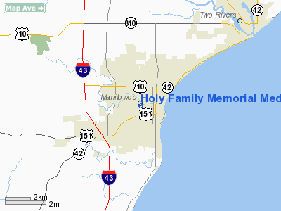
Holy Family Memorial Medical Center Heliport |
Location & QuickFacts
| FAA Information Effective: | 2008-09-25 |
| Airport Identifier: | WI96 |
| Airport Status: | Operational |
| Longitude/Latitude: | 087-40-30.4046W/44-05-41.7716N
-87.675112/44.094937 (Estimated) |
| Elevation: | 615 ft / 187.45 m (Estimated) |
| Land: | 0 acres |
| From nearest city: | 0 nautical miles N of Manitowoc, WI |
| Location: | Manitowoc County, WI |
| Magnetic Variation: | 02W (1985) |
Owner & Manager
| Ownership: | Privately owned |
| Owner: | Holy Family Memorial Med Center |
| Address: | 2300 Western Avenue
Manitowoc, WI 54221-1450 |
| Phone number: | 920-684-2011 |
| Manager: | Jim Gantzer |
| Address: | 2300 Western Avenue
Manitowoc, WI 54221-1450 |
| Phone number: | 920-684-2734 |
Airport Operations and Facilities
| Airport Use: | Private
MEDICAL |
| Wind indicator: | Yes |
| Segmented Circle: | No |
| Control Tower: | No |
| Sectional chart: | Green Bay |
| Region: | AGL - Great Lakes |
| Boundary ARTCC: | ZMP - Minneapolis |
| Tie-in FSS: | GRB - Green Bay |
| FSS Toll Free: | 1-800-WX-BRIEF |
Runway Information
Helipad H1
| Dimension: | 40 x 40 ft / 12.2 x 12.2 m |
| Surface: | ASPH, |
| |
Runway H1 |
Runway |
| Traffic Pattern: | Left | Left |
|
Radio Navigation Aids
| ID |
Type |
Name |
Ch |
Freq |
Var |
Dist |
| SG | NDB | Depre | | 332.00 | 02W | 26.9 nm |
| AQ | NDB | Kooky | | 407.00 | 02W | 32.1 nm |
| LLE | NDB | Kettle Moraine | | 329.00 | 01W | 44.8 nm |
| SUE | NDB | Sturgeon Bay | | 414.00 | 03W | 45.9 nm |
| OCQ | NDB | Oconto | | 388.00 | 03W | 48.0 nm |
| BJB | VOR | West Bend | | 109.80 | 01W | 44.9 nm |
| MTW | VOR/DME | Manitowoc | 047X | 111.00 | 02W | 2.0 nm |
| FAH | VOR/DME | Falls | 37X | 110.00 | 02W | 21.0 nm |
| GRB | VORTAC | Green Bay | 102X | 115.50 | 01E | 35.6 nm |
| OSH | VORTAC | Oshkosh | 055X | 111.80 | 02E | 38.6 nm |
Remarks
- FILED FOR RECORD PURPOSES ONLY
Images and information placed above are from
http://www.airport-data.com/airport/WI96/
We thank them for the data!
| General Info
|
| Country |
United States
|
| State |
WISCONSIN
|
| FAA ID |
WI96
|
| Latitude |
44-05-40.980N
|
| Longitude |
087-40-35.304W
|
| Elevation |
650 feet
|
| Near City |
MANITOWOC
|
We don't guarantee the information is fresh and accurate. The data may
be wrong or outdated.
For more up-to-date information please refer to other sources.
|
|


