|
|
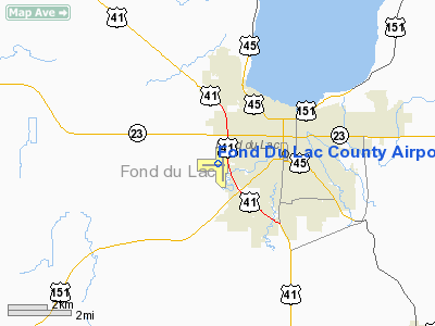
Fond Du Lac County Airport |
Coordinates: 43°46′16″N 088°29′18″W / 43.77111°N 88.48833°W / 43.77111; -88.48833
| Fond du Lac County Airport |
| IATA: FLD – ICAO: KFLD – FAA LID: FLD |
| Summary |
| Airport type |
Public |
| Operator |
Fond du Lac County |
| Serves |
Fond du Lac, Wisconsin |
| Elevation AMSL |
808 ft / 246 m |
| Runways |
| Direction |
Length |
Surface |
| ft |
m |
| 9/27 |
3,602 |
1,098 |
Asphalt |
| 18/36 |
5,941 |
1,811 |
Asphalt |
| Statistics (2005) |
| Aircraft operations |
63,050 |
| Based aircraft |
80 |
| Source: Federal Aviation Administration |
Fond du Lac County Airport (IATA: FLD, ICAO: KFLD, FAA LID: FLD) is a public airport located one mile (2 km) west of the central business district of Fond du Lac, a city in Fond du Lac County, Wisconsin, United States. It is owned by Fond du Lac County.
Facilities and aircraft
Fond du Lac County Airport covers an area of 586 acres (237 ha) which contains two asphalt paved runways: 9/27 measuring 3,602 x 75 ft (1,098 x 23 m) and 18/36 measuring 5,941 x 100 ft (1,811 x 30 m).
For the 12-month period ending July 6, 2005, the airport had 63,050 aircraft operations, an average of 172 per day: 95% general aviation, 5% air taxi and <1% military. There are 80 aircraft based at this airport: 75% single engine, 20% multi-engine and 5% jet aircraft.
The above content comes from Wikipedia and is published under free licenses – click here to read more.
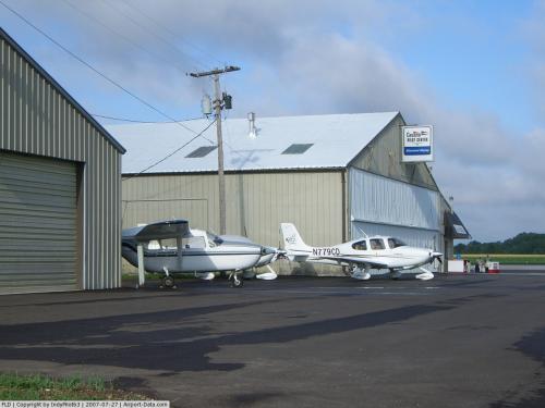 |
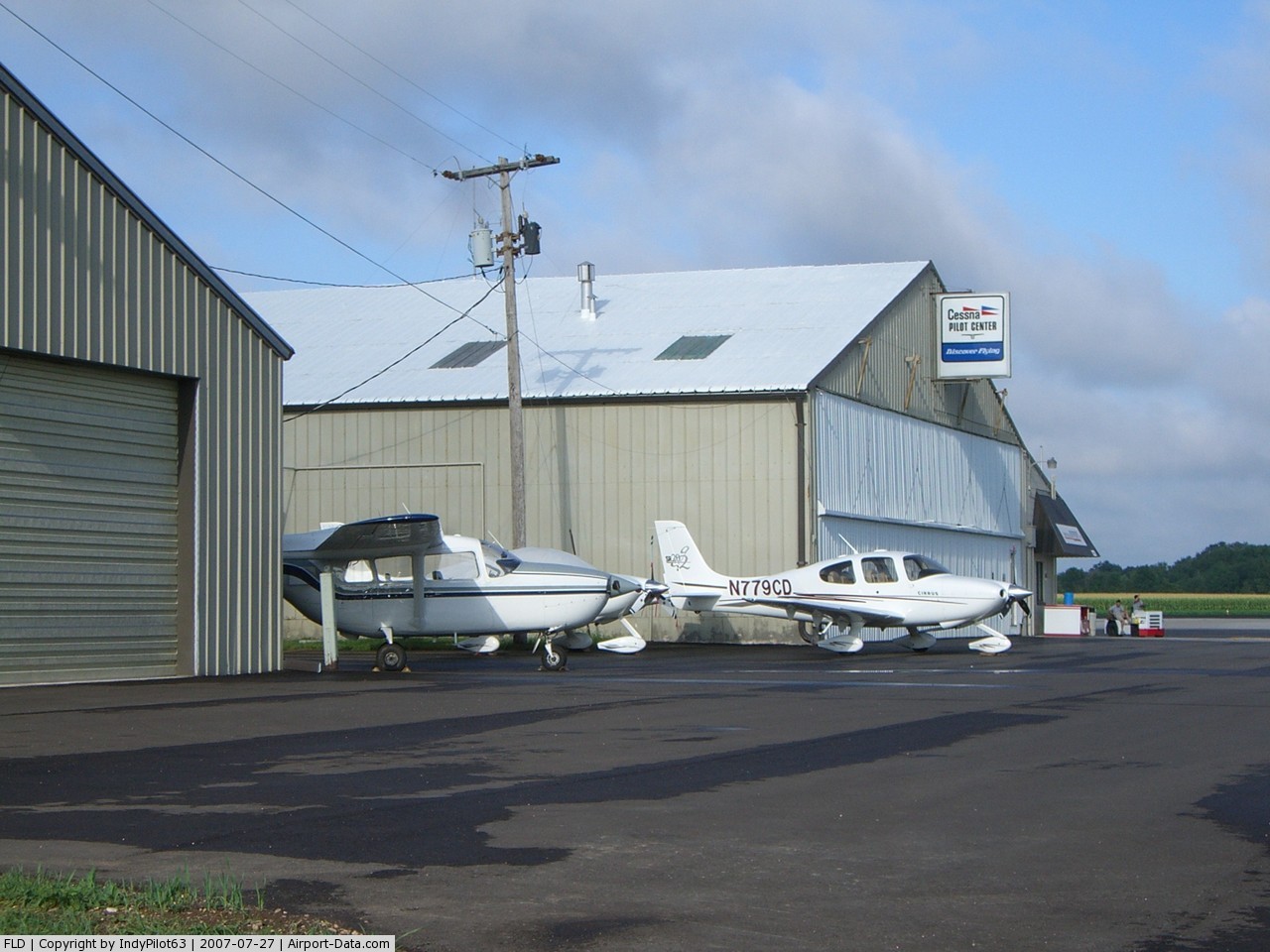
(Click on the photo to enlarge) |
Location & QuickFacts
| FAA Information Effective: | 2008-09-25 |
| Airport Identifier: | FLD |
| Airport Status: | Operational |
| Longitude/Latitude: | 088-29-18.3000W/43-46-16.2000N
-88.488417/43.771167 (Estimated) |
| Elevation: | 808 ft / 246.28 m (Surveyed) |
| Land: | 586 acres |
| From nearest city: | 1 nautical miles W of Fond Du Lac, WI |
| Location: | Fond Du Lac County, WI |
| Magnetic Variation: | 00E (1980) |
Owner & Manager
| Ownership: | Publicly owned |
| Owner: | Fond Du Lac County |
| Address: | 160 S Macy
Fond Du Lac, WI 54935 |
| Phone number: | 920-922-4162 |
| Manager: | Lee Perrizo |
| Address: | N 6308 Rolling Meadows Drive
Fond Du Lac, WI 54937 |
| Phone number: | 920-922-6000 |
Airport Operations and Facilities
| Airport Use: | Open to public |
| Wind indicator: | Yes |
| Segmented Circle: | Yes |
| Control Tower: | No |
| Lighting Schedule: | DUSK-DAWN
HIRL RY 18/36 PRESET ON LOW INTST; TO INCR INTST & ACTVT MIRL RY 09/27; REIL RY 18; PAPI RYS 18 & 36 & MALSR RY 36 - CTAF. |
| Beacon Color: | Clear-Green (lighted land airport) |
| Landing fee charge: | No |
| Sectional chart: | Chicago |
| Region: | AGL - Great Lakes |
| Traffic Pattern Alt: | 1000 ft |
| Boundary ARTCC: | ZAU - Chicago |
| Tie-in FSS: | GRB - Green Bay |
| FSS on Airport: | No |
| FSS Toll Free: | 1-800-WX-BRIEF |
| NOTAMs Facility: | FLD (NOTAM-d service avaliable) |
| Federal Agreements: | NGY |
Airport Communications
| CTAF: | 123.050 |
| Unicom: | 123.050 |
Airport Services
| Fuel available: | 100LLA1 |
| Airframe Repair: | MAJOR |
| Power Plant Repair: | MAJOR |
| Bottled Oxygen: | NONE |
| Bulk Oxygen: | NONE |
Runway Information
Runway 09/27
| Dimension: | 3602 x 75 ft / 1097.9 x 22.9 m |
| Surface: | ASPH, Fair Condition |
| Weight Limit: | Single wheel: 22000 lbs. |
| Edge Lights: | Medium |
| |
Runway 09 |
Runway 27 |
| Longitude: | 088-29-56.1819W | 088-29-07.1087W |
| Latitude: | 43-46-17.8434N | 43-46-16.8062N |
| Elevation: | 808.00 ft | 788.00 ft |
| Alignment: | 92 | 127 |
| Traffic Pattern: | Right | Left |
| Markings: | Non-precision instrument, Fair Condition | Non-precision instrument, Fair Condition |
| Runway End Identifier: | No | No |
| Centerline Lights: | No | No |
| Touchdown Lights: | No | No |
| Obstruction: | 75 ft trees, 2300.0 ft from runway, 300 ft left of centerline, 28:1 slope to clear | 15 ft road, 720.0 ft from runway, 280 ft right of centerline, 34:1 slope to clear |
|
Runway 18/36
| Dimension: | 5941 x 100 ft / 1810.8 x 30.5 m |
| Surface: | ASPH, Good Condition |
| Weight Limit: | Dual wheel: 60000 lbs. |
| Edge Lights: | High |
| |
Runway 18 |
Runway 36 |
| Longitude: | 088-29-10.2405W | 088-29-10.3143W |
| Latitude: | 43-46-44.8949N | 43-45-46.2238N |
| Elevation: | 783.00 ft | 794.00 ft |
| Alignment: | 127 | 0 |
| ILS Type: | | LOC/DME
|
| Traffic Pattern: | Right | Left |
| Markings: | Non-precision instrument, Fair Condition | Non-precision instrument, Fair Condition |
| Crossing Height: | 48.00 ft | 33.00 ft |
| VASI: | 4-light PAPI on left side | 4-light PAPI on left side |
| Visual Glide Angle: | 3.00° | 3.00° |
| Approach lights: | | MALSR |
| Runway End Identifier: | Yes | |
| Centerline Lights: | No | No |
| Touchdown Lights: | No | No |
| Obstruction: | 53 ft trees, 1650.0 ft from runway, 400 ft left of centerline, 27:1 slope to clear | 86 ft trees, 3150.0 ft from runway, 200 ft left of centerline, 34:1 slope to clear |
|
Radio Navigation Aids
| ID |
Type |
Name |
Ch |
Freq |
Var |
Dist |
| UNU | NDB | Juneau | | 344.00 | 01W | 22.6 nm |
| HXF | NDB | Hartford | | 200.00 | 00E | 25.7 nm |
| LLE | NDB | Kettle Moraine | | 329.00 | 01W | 26.1 nm |
| AQ | NDB | Kooky | | 407.00 | 02W | 27.0 nm |
| RYV | NDB | Rock River | | 371.00 | 01W | 37.4 nm |
| PCZ | NDB | Waupaca | | 382.00 | 01W | 40.7 nm |
| SG | NDB | Depre | | 332.00 | 02W | 40.7 nm |
| UES | NDB | Waukesha | | 359.00 | 01W | 45.0 nm |
| BJB | VOR | West Bend | | 109.80 | 01W | 26.3 nm |
| FAH | VOR/DME | Falls | 37X | 110.00 | 02W | 27.8 nm |
| MTW | VOR/DME | Manitowoc | 047X | 111.00 | 02W | 41.1 nm |
| LJT | VOR/DME | Timmerman | 072X | 112.50 | 02W | 44.4 nm |
| OSH | VORTAC | Oshkosh | 055X | 111.80 | 02E | 13.5 nm |
| BAE | VORTAC | Badger | 111X | 116.40 | 02E | 40.3 nm |
| GRB | VORTAC | Green Bay | 102X | 115.50 | 01E | 48.8 nm |
Images and information placed above are from
http://www.airport-data.com/airport/FLD/
We thank them for the data!
| General Info
|
| Country |
United States
|
| State |
WISCONSIN
|
| FAA ID |
FLD
|
| Latitude |
43-46-16.200N
|
| Longitude |
088-29-18.300W
|
| Elevation |
808 feet
|
| Near City |
FOND DU LAC
|
We don't guarantee the information is fresh and accurate. The data may
be wrong or outdated.
For more up-to-date information please refer to other sources.
|
|