|
|
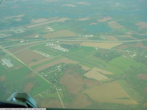 |
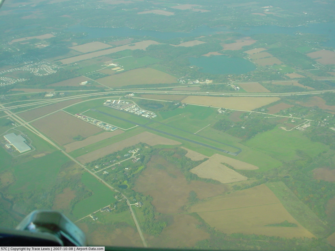
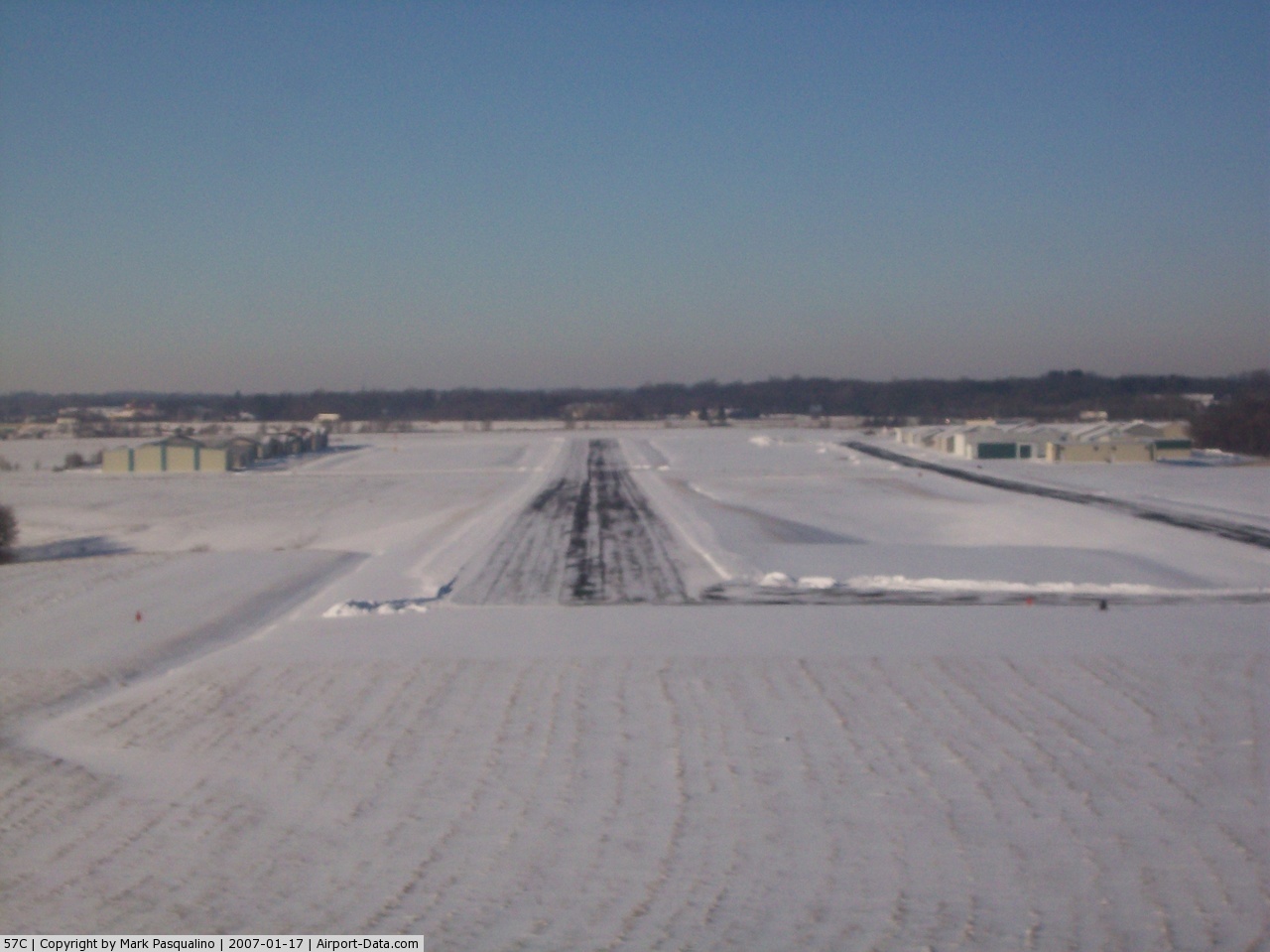
(Click on the photo to enlarge) |
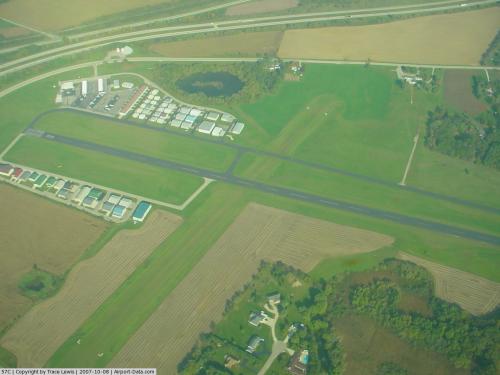 |
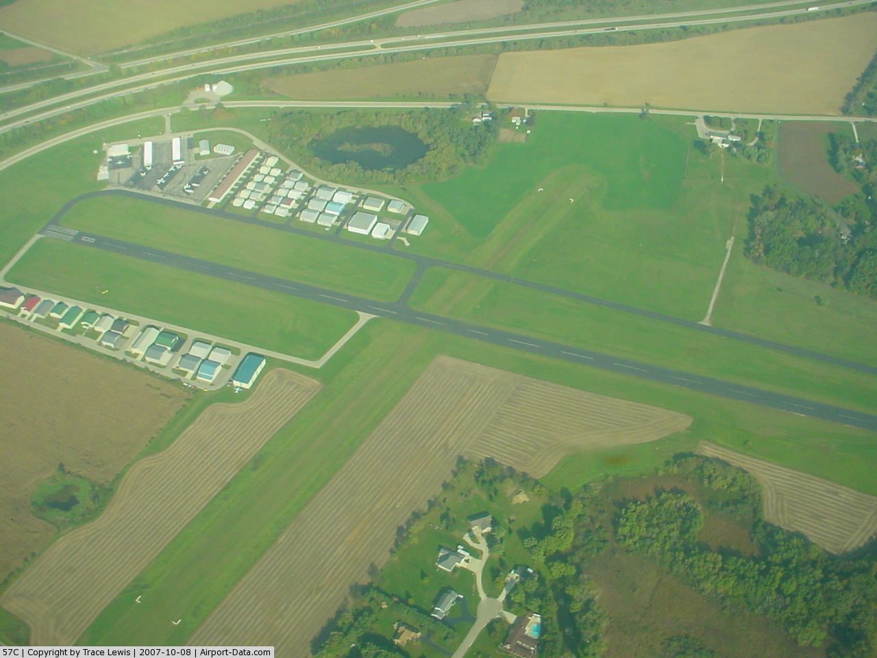
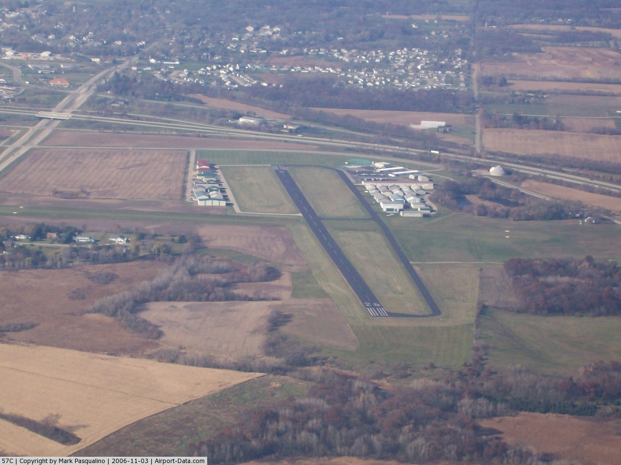
(Click on the photo to enlarge) |
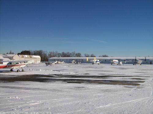 |
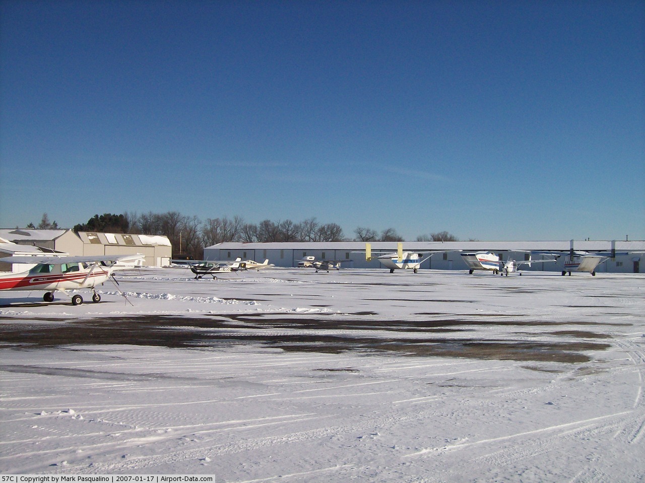
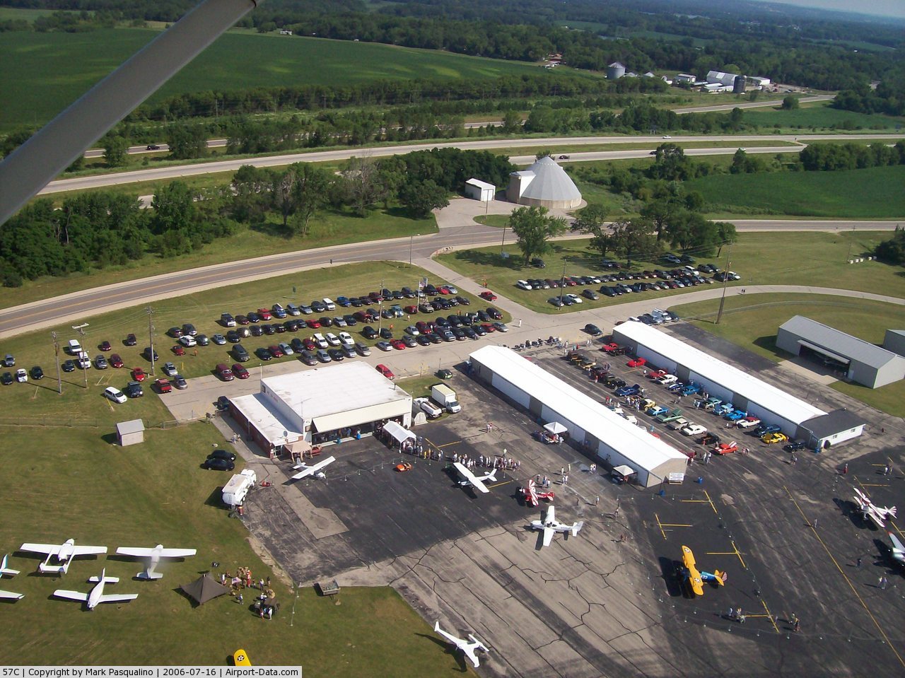
(Click on the photo to enlarge) |
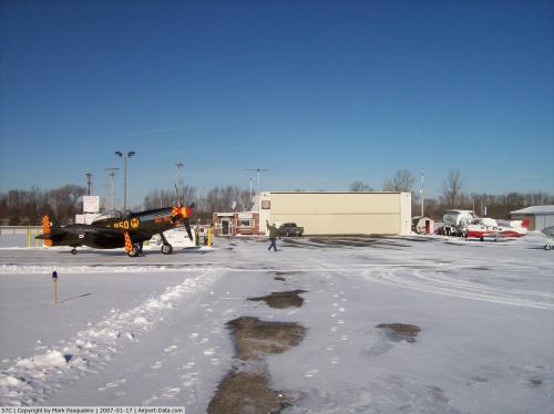 |
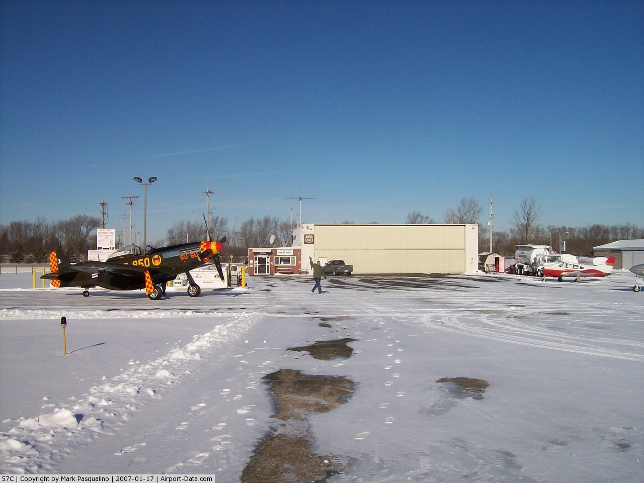
(Click on the photo to enlarge) |
 |
(Click on the photo to enlarge) |
 |
(Click on the photo to enlarge) |
 |
(Click on the photo to enlarge) |
Location & QuickFacts
| FAA Information Effective: | 2008-09-25 |
| Airport Identifier: | 57C |
| Airport Status: | Operational |
| Longitude/Latitude: | 088-22-21.4000W/42-47-49.8000N
-88.372611/42.797167 (Estimated) |
| Elevation: | 860 ft / 262.13 m (Surveyed) |
| Land: | 214 acres |
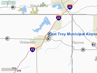
| From nearest city: | 2 nautical miles NE of East Troy, WI |
| Location: | Walworth County, WI |
| Magnetic Variation: | 02W (1995) |
Owner & Manager
| Ownership: | Publicly owned |
| Owner: | Village Of East Troy |
| Address: | Po Box 166
East Troy, WI 53120 |
| Phone number: | 262-642-6256 |
| Manager: | John Alexander |
| Address: | Box 166
East Troy, WI 53120 |
| Phone number: | 414-745-4052 |
Airport Operations and Facilities
| Airport Use: | Open to public |
| Wind indicator: | Yes |
| Segmented Circle: | Yes |
| Control Tower: | No |
| Lighting Schedule: | DUSK-DAWN
MIRL RY 08/26 IS PRESET ON LOW INTST; TO ACTVT HIGHER INTST & REIL RYS O8 & 26 & PAPI RY 08 - CTAF. |
| Beacon Color: | Clear-Green (lighted land airport) |
| Landing fee charge: | No |
| Sectional chart: | Chicago |
| Region: | AGL - Great Lakes |
| Boundary ARTCC: | ZAU - Chicago |
| Tie-in FSS: | GRB - Green Bay |
| FSS on Airport: | No |
| FSS Toll Free: | 1-800-WX-BRIEF |
| NOTAMs Facility: | GRB (NOTAM-d service avaliable) |
| Federal Agreements: | NGY |
Airport Communications
| CTAF: | 123.000 |
| Unicom: | 123.000 |
Airport Services
| Fuel available: | 100LLA MOGAS
FUEL AVBL 24 HRS WITH CREDIT CARD. |
| Airframe Repair: | MAJOR |
| Power Plant Repair: | MAJOR |
| Bottled Oxygen: | NONE |
| Bulk Oxygen: | NONE |
Runway Information
Runway 08/26
| Dimension: | 3900 x 75 ft / 1188.7 x 22.9 m
SLOPES UP APRXLY 20 FT FM WEST TO EAST.
220 FT STOPWAY NORTH END & 240 FT STOPWAY SOUTH END. |
| Surface: | ASPH, Good Condition |
| Weight Limit: | Single wheel: 12000 lbs. |
| Edge Lights: | Medium |
| |
Runway 08 |
Runway 26 |
| Longitude: | 088-22-46.1690W | 088-21-54.8048W |
| Latitude: | 42-47-47.3155N | 42-47-54.5878N |
| Elevation: | 843.00 ft | 860.00 ft |
| Alignment: | 79 | 127 |
| Traffic Pattern: | Left | Left |
| Markings: | Non-precision instrument, Good Condition | Non-precision instrument, Good Condition |
| Crossing Height: | 43.00 ft | 0.00 ft |
| VASI: | 2-light PAPI on left side | |
| Visual Glide Angle: | 3.00° | 0.00° |
| Runway End Identifier: | Yes | Yes |
| Obstruction: | 15 ft road, 500.0 ft from runway, 20:1 slope to clear | 49 ft trees, 1570.0 ft from runway, 110 ft left of centerline, 27:1 slope to clear |
|
Runway 18/36
| Dimension: | 2446 x 75 ft / 745.5 x 22.9 m
SLOPES UP APRXLY 20 FT FM WEST TO EAST.
220 FT STOPWAY NORTH END & 240 FT STOPWAY SOUTH END. |
| Surface: | TURF, Fair Condition |
| |
Runway 18 |
Runway 36 |
| Longitude: | 088-22-22.1451W | 088-22-23.7628W |
| Latitude: | 42-47-59.9645N | 42-47-35.8305N |
| Elevation: | 838.00 ft | 828.00 ft |
| Alignment: | 127 | 3 |
| Traffic Pattern: | Left | Left |
| Obstruction: | 30 ft tree, 880.0 ft from runway, 80 ft left of centerline, 29:1 slope to clear | 16 ft road, 320.0 ft from runway, 150 ft left of centerline, 20:1 slope to clear |
|
Radio Navigation Aids
| ID |
Type |
Name |
Ch |
Freq |
Var |
Dist |
| LVV | NDB | Lake Lawn | | 404.00 | 00W | 11.4 nm |
| UES | NDB | Waukesha | | 359.00 | 01W | 16.1 nm |
| GM | NDB | Teels | | 242.00 | 02W | 16.1 nm |
| RA | NDB | Paser | | 206.00 | 00E | 22.0 nm |
| BL | NDB | Yanks | | 260.00 | 02W | 26.9 nm |
| RYV | NDB | Rock River | | 371.00 | 01W | 27.4 nm |
| JVL | NDB | Janesville | | 375.00 | 03E | 31.5 nm |
| HXF | NDB | Hartford | | 200.00 | 00E | 33.1 nm |
| LLE | NDB | Kettle Moraine | | 329.00 | 01W | 39.3 nm |
| UNU | NDB | Juneau | | 344.00 | 01W | 40.6 nm |
| MS | NDB | Monah | | 400.00 | 00E | 45.7 nm |
| BJB | VOR | West Bend | | 109.80 | 01W | 39.1 nm |
| BUU | VOR/DME | Burbun | 092X | 114.50 | 01W | 7.2 nm |
| ENW | VOR/DME | Kenosha | 029X | 109.20 | 02W | 22.8 nm |
| LJT | VOR/DME | Timmerman | 072X | 112.50 | 02W | 23.9 nm |
| HRK | VOR/DME | Horlick | 124X | 117.70 | 02W | 24.7 nm |
| JVL | VOR/DME | Janesville | 090X | 114.30 | 03E | 35.4 nm |
| OBK | VOR/DME | Northbrook | 077X | 113.00 | 02W | 39.3 nm |
| BAE | VORTAC | Badger | 111X | 116.40 | 02E | 19.6 nm |
| MSN | VORTAC | Madison | 023X | 108.60 | 03E | 47.4 nm |
| MKE | VOT | Milwaukee | | 109.00 | | 22.8 nm |
Remarks
- ULTRALIGHTS ON & INVOF ARPT.
- NOISE ABATEMENT PROCEDURES IN EFFECT; CONTACT AMGR AT 262-642-4374.
- GCO AVBL ON FREQ 121.725 THRU MKE CD & FLT SVCS.
- ESTAB PRIOR TO 1959.
Images and information placed above are from
http://www.airport-data.com/airport/57C/
We thank them for the data!
| General Info
|
| Country |
United States
|
| State |
WISCONSIN
|
| FAA ID |
57C
|
| Latitude |
42-47-49.800N
|
| Longitude |
088-22-21.400W
|
| Elevation |
860 feet
|
| Near City |
EAST TROY
|
We don't guarantee the information is fresh and accurate. The data may
be wrong or outdated.
For more up-to-date information please refer to other sources.
|
|