 |
|
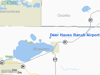
Location & QuickFacts
| FAA Information Effective: | 2008-09-25 |
| Airport Identifier: | WI60 |
| Airport Status: | Operational |
| Longitude/Latitude: | 088-27-47.3700W/44-49-57.9600N
-88.463158/44.832767 (Estimated) |
| Elevation: | 811 ft / 247.19 m (Surveyed) |
| Land: | 0 acres |
| From nearest city: | 2 nautical miles N of Cecil, WI |
| Location: | Shawano County, WI |
| Magnetic Variation: | 01W (1985) |
Owner & Manager
| Ownership: | Privately owned |
| Owner: | Lee Lemke |
| Address: | Route 2, Box 105
Cecil, WI 54111 |
| Phone number: | 715-745-2903 |
| Manager: | Lee L Lemke |
| Address: | Route 2, Box 105
Cecil, WI 54111 |
| Phone number: | 715-745-2903 |
Airport Operations and Facilities
| Airport Use: | Private |
| Wind indicator: | Yes |
| Segmented Circle: | No |
| Control Tower: | No |
| Landing fee charge: | No |
| Sectional chart: | Green Bay |
| Region: | AGL - Great Lakes |
| Boundary ARTCC: | ZMP - Minneapolis |
| Tie-in FSS: | GRB - Green Bay |
| FSS on Airport: | No |
| FSS Toll Free: | 1-800-WX-BRIEF |
Airport Services
| Airframe Repair: | NONE |
| Power Plant Repair: | NONE |
Runway Information
Runway E/W
| Dimension: | 1500 x 70 ft / 457.2 x 21.3 m |
| Surface: | TURF, |
| |
Runway E |
Runway W |
| Traffic Pattern: | Left | Left |
| Obstruction: | 20 ft hill | |
|
Runway N/S
| Dimension: | 3000 x 60 ft / 914.4 x 18.3 m |
| Surface: | TURF, |
| |
Runway N |
Runway S |
| Traffic Pattern: | Left | Left |
| Obstruction: | 20 ft , 40.0 ft from runway | 50 ft trees, 60.0 ft from runway |
|
Radio Navigation Aids
| ID |
Type |
Name |
Ch |
Freq |
Var |
Dist |
| CLI | NDB | Clintonville | | 209.00 | 02W | 17.3 nm |
| OCQ | NDB | Oconto | | 388.00 | 03W | 23.6 nm |
| SG | NDB | Depre | | 332.00 | 02W | 29.7 nm |
| AIG | NDB | Antigo | | 347.00 | 02W | 33.9 nm |
| AQ | NDB | Kooky | | 407.00 | 02W | 37.2 nm |
| PCZ | NDB | Waupaca | | 382.00 | 01W | 38.3 nm |
| SUE | NDB | Sturgeon Bay | | 414.00 | 03W | 44.4 nm |
| FZK | NDB | Wausau | | 243.00 | 01E | 49.8 nm |
| MNM | VOR/DME | Menominee | 033X | 109.60 | 00E | 40.5 nm |
| GRB | VORTAC | Green Bay | 102X | 115.50 | 01E | 20.2 nm |
| AUW | VORTAC | Wausau | 053X | 111.60 | 02E | 47.9 nm |
| STE | VORTAC | Stevens Point | 043X | 110.60 | 01W | 48.8 nm |
Remarks
- CULVERT IS 40 FT WIDE UNDER RY N/S 1000 FT FM SOUTH END.
- PRIVATE USE.
Images and information placed above are from
http://www.airport-data.com/airport/WI60/
We thank them for the data!
| General Info
|
| Country |
United States
|
| State |
WISCONSIN
|
| FAA ID |
WI60
|
| Latitude |
44-49-57.960N
|
| Longitude |
088-27-47.370W
|
| Elevation |
811 feet
|
| Near City |
CECIL
|
We don't guarantee the information is fresh and accurate. The data may
be wrong or outdated.
For more up-to-date information please refer to other sources.
|
|


