 |
|
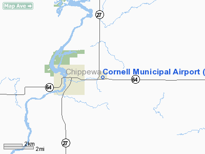
Location & QuickFacts
| FAA Information Effective: | 2008-09-25 |
| Airport Identifier: | 2H3 |
| Airport Status: | Operational |
| Longitude/Latitude: | 091-06-20.5100W/45-09-55.8800N
-91.105697/45.165522 (Estimated) |
| Elevation: | 1154 ft / 351.74 m (Surveyed) |
| Land: | 143 acres |
| From nearest city: | 2 nautical miles E of Cornell, WI |
| Location: | Chippewa County, WI |
| Magnetic Variation: | 01E (1985) |
Owner & Manager
| Ownership: | Publicly owned |
| Owner: | Cornell Aeroworks Llc |
| Address: | 28250 State Hwy 64
Cornell, WI 54732 |
| Phone number: | 715-239-3716 |
| Manager: | John Bresina |
| Address: | 28250 State Hwy 64
Cornell, WI 54732 |
| Phone number: | 715-239-3716 |
Airport Operations and Facilities
| Airport Use: | Open to public |
| Wind indicator: | Yes |
| Segmented Circle: | Yes |
| Control Tower: | No |
| Lighting Schedule: | RDO CTL
FOR ROTG BCN KEY UNICOM 5 CLICKS. |
| Beacon Color: | Clear-Green (lighted land airport) |
| Landing fee charge: | No |
| Sectional chart: | Green Bay |
| Region: | AGL - Great Lakes |
| Boundary ARTCC: | ZMP - Minneapolis |
| Tie-in FSS: | GRB - Green Bay |
| FSS on Airport: | No |
| FSS Toll Free: | 1-800-WX-BRIEF |
| NOTAMs Facility: | GRB (NOTAM-d service avaliable) |
| Federal Agreements: | 1 |
Airport Communications
| CTAF: | 122.800 |
| Unicom: | 122.800 |
Airport Services
| Fuel available: | 100LLMOGAS |
| Airframe Repair: | MINOR |
| Power Plant Repair: | MINOR |
Runway Information
Runway 09/27
| Dimension: | 2420 x 45 ft / 737.6 x 13.7 m |
| Surface: | ASPH, Fair Condition |
| Edge Lights: | Non-standard lighting system
NSTD LIRL; THLD LGTS RED. LIRL OTS INDEFLY. |
| |
Runway 09 |
Runway 27 |
| Traffic Pattern: | Left | Left |
| Obstruction: | 15 ft road, 260.0 ft from runway, 120 ft left of centerline, 4:1 slope to clear | 34 ft tree, 1000.0 ft from runway, 200 ft right of centerline, 23:1 slope to clear |
|
Radio Navigation Aids
| ID |
Type |
Name |
Ch |
Freq |
Var |
Dist |
| RCX | NDB | Rusk County | | 356.00 | 00W | 20.7 nm |
| MDZ | NDB | Medford | | 335.00 | 00E | 34.0 nm |
| UBE | NDB | Cumberland | | 375.00 | 01E | 42.2 nm |
| PBH | NDB | Phillips | | 263.00 | 00E | 43.6 nm |
| VIQ | NDB | Neillsville | | 368.00 | 01W | 44.4 nm |
| SSQ | NDB | Shell Lake | | 212.00 | 01E | 48.2 nm |
| RPD | VOR/DME | Rice Lake | 037X | 110.00 | 01E | 32.1 nm |
| EAU | VORTAC | Eau Claire | 076X | 112.90 | 04E | 22.6 nm |
Remarks
- CONFIRM WINTER COND & SNOW REMOVAL WITH AMGR CALL 715-239-3716.
- PRVDD CLEAR 20:1 APCHS, CLEAR RY SAFETY AREA, CLEAR OBSTACLE FREE ZONE, AND CONTACT CHI FPO 18 MONTHS IN ADVANCE FOR FUTURE IAP.
Images and information placed above are from
http://www.airport-data.com/airport/2H3/
We thank them for the data!
| General Info
|
| Country |
United States
|
| State |
NORTH DAKOTA
|
| FAA ID |
2H3
|
| Latitude |
46-53-30.025N
|
| Longitude |
101-59-53.584W
|
| Elevation |
2150 feet
|
| Near City |
HEBRON
|
We don't guarantee the information is fresh and accurate. The data may
be wrong or outdated.
For more up-to-date information please refer to other sources.
|
|


