 |
|
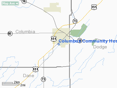
Columbus Community Hospital Heliport |
Location & QuickFacts
| FAA Information Effective: | 2008-09-25 |
| Airport Identifier: | WI41 |
| Airport Status: | Operational |
| Longitude/Latitude: | 089-02-03.2500W/43-19-21.1300N
-89.034236/43.322536 (Estimated) |
| Elevation: | 860 ft / 262.13 m (Estimated) |
| Land: | 0 acres |
| From nearest city: | 2 nautical miles SW of Columbus, WI |
| Location: | Columbia County, WI |
| Magnetic Variation: | 00W (1985) |
Owner & Manager
| Ownership: | Privately owned |
| Owner: | Columbus Community Hospital |
| Address: | 1515 Park Ave
Columbus, WI 53925 |
| Phone number: | 920-623-1225 |
| Manager: | Shawn Lerch-columbus Comm Hosp |
| Address: | 1515 Park Ave
Columbus, WI 53925 |
| Phone number: | 920-623-1225 |
Airport Operations and Facilities
| Airport Use: | Private
MEDICAL. |
| Wind indicator: | Yes |
| Segmented Circle: | No |
| Control Tower: | No |
| Sectional chart: | Chicago |
| Region: | AGL - Great Lakes |
| Boundary ARTCC: | ZAU - Chicago |
| Tie-in FSS: | GRB - Green Bay |
| FSS Toll Free: | 1-800-WX-BRIEF |
Runway Information
Helipad H1
| Dimension: | 70 x 70 ft / 21.3 x 21.3 m |
| Surface: | CONC, |
| |
Runway H1 |
Runway |
| Traffic Pattern: | Left | Left |
|
Radio Navigation Aids
| ID |
Type |
Name |
Ch |
Freq |
Var |
Dist |
| UNU | NDB | Juneau | | 344.00 | 01W | 15.9 nm |
| RYV | NDB | Rock River | | 371.00 | 01W | 16.2 nm |
| MS | NDB | Monah | | 400.00 | 00E | 20.7 nm |
| HXF | NDB | Hartford | | 200.00 | 00E | 27.9 nm |
| UES | NDB | Waukesha | | 359.00 | 01W | 38.8 nm |
| LLE | NDB | Kettle Moraine | | 329.00 | 01W | 40.1 nm |
| LVV | NDB | Lake Lawn | | 404.00 | 00W | 42.2 nm |
| JVL | NDB | Janesville | | 375.00 | 03E | 42.5 nm |
| BJB | VOR | West Bend | | 109.80 | 01W | 40.2 nm |
| LJT | VOR/DME | Timmerman | 072X | 112.50 | 02W | 45.5 nm |
| JVL | VOR/DME | Janesville | 090X | 114.30 | 03E | 46.1 nm |
| LNR | VOR/DME | Lone Rock | 075X | 112.80 | 00E | 48.1 nm |
| BUU | VOR/DME | Burbun | 092X | 114.50 | 01W | 49.9 nm |
| MSN | VORTAC | Madison | 023X | 108.60 | 03E | 17.1 nm |
| DLL | VORTAC | Dells | 117X | 117.00 | 03E | 34.7 nm |
| BAE | VORTAC | Badger | 111X | 116.40 | 02E | 35.1 nm |
| OSH | VORTAC | Oshkosh | 055X | 111.80 | 02E | 45.2 nm |
Remarks
- FILED FOR RECORD PURPOSES ONLY. ALL APCHS/DEP FM 165-215. TOLF IS MKD, FATO IS IDENTIFIED, 10 FT SAFETY AREA, WIND INDICATOR IS MAINTAINED, DEVELOPE SECURITY MEASURES.
Images and information placed above are from
http://www.airport-data.com/airport/WI41/
We thank them for the data!
| General Info
|
| Country |
United States
|
| State |
WISCONSIN
|
| FAA ID |
WI41
|
| Latitude |
43-19-21.967N
|
| Longitude |
089-02-03.396W
|
| Elevation |
860 feet
|
| Near City |
COLUMBUS
|
We don't guarantee the information is fresh and accurate. The data may
be wrong or outdated.
For more up-to-date information please refer to other sources.
|
|


