|
|
Big Foot Airfield Airport |
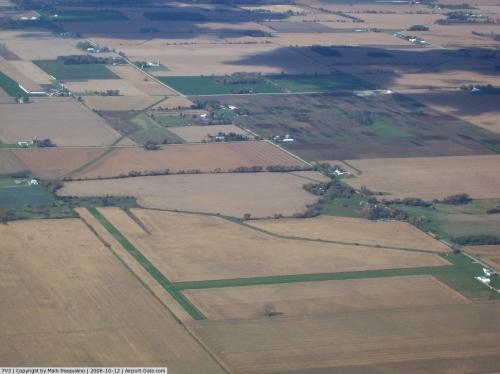 |
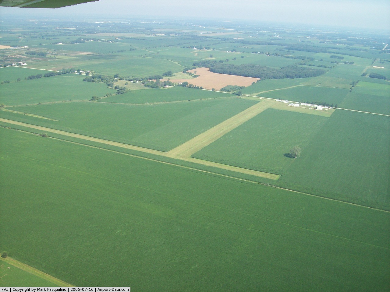
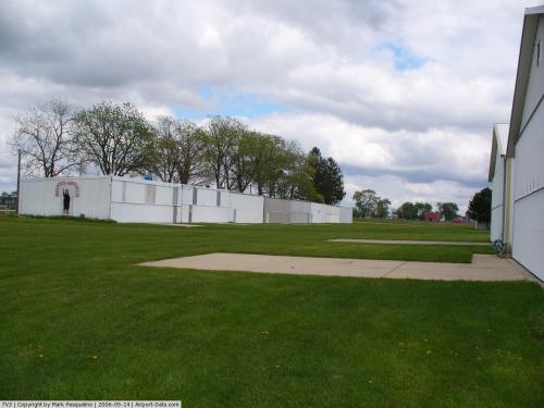
(Click on the photo to enlarge) |
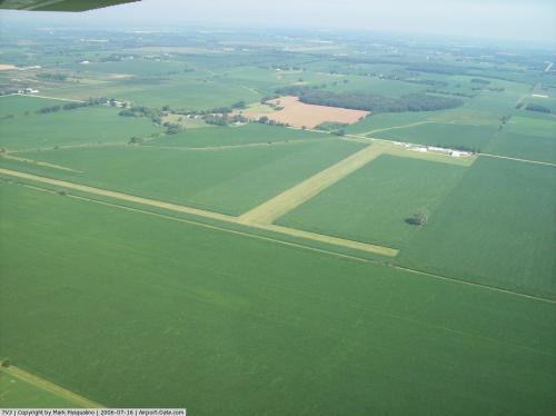 |
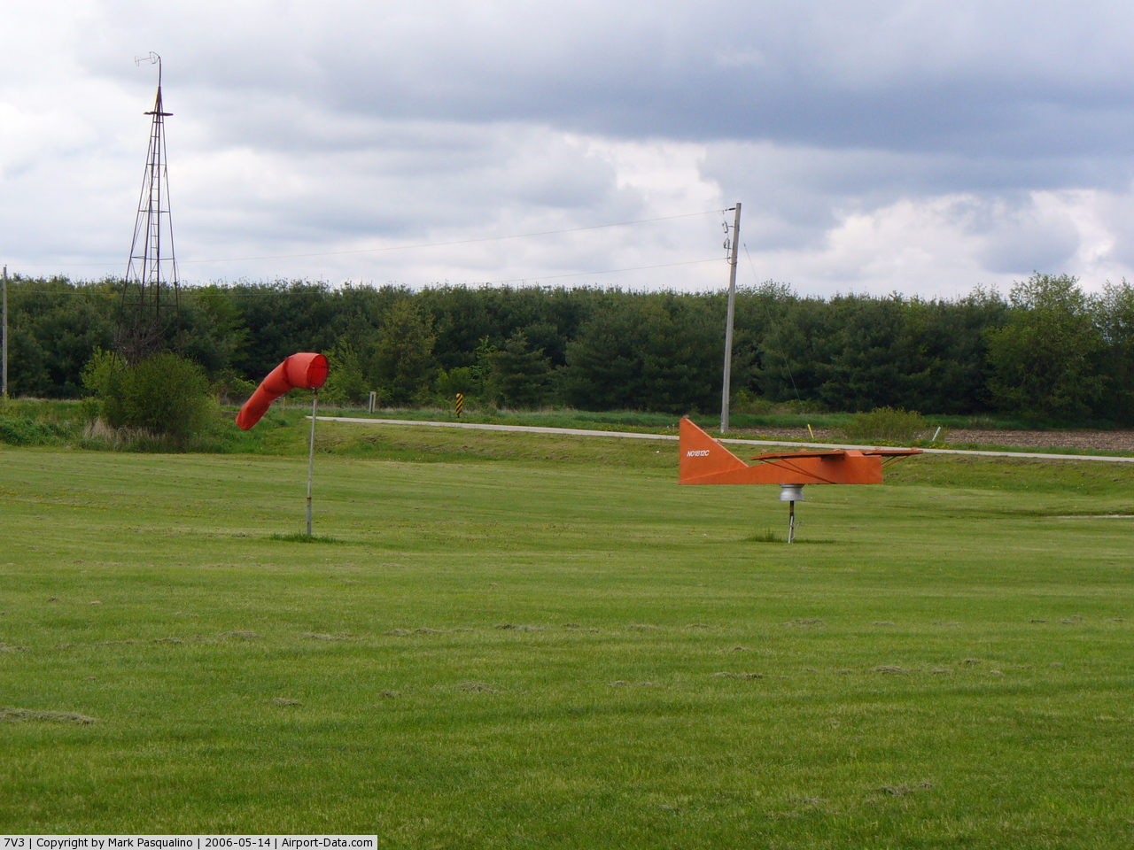
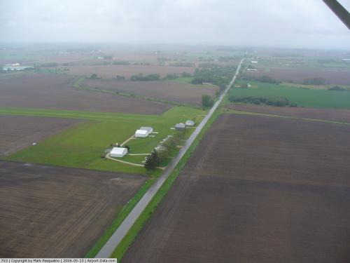
(Click on the photo to enlarge) |
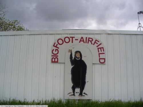 |
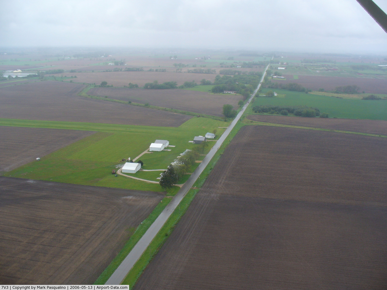
(Click on the photo to enlarge) |
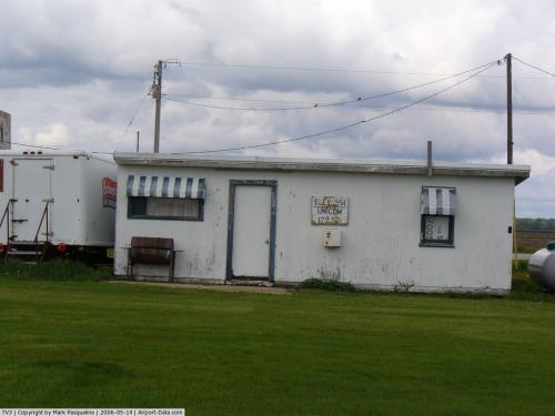 |
(Click on the photo to enlarge) |
 |
(Click on the photo to enlarge) |
 |
(Click on the photo to enlarge) |
 |
(Click on the photo to enlarge) |
Location & QuickFacts
| FAA Information Effective: | 2008-09-25 |
| Airport Identifier: | 7V3 |
| Airport Status: | Operational |
| Longitude/Latitude: | 088-39-10.7000W/42-31-32.4000N
-88.652972/42.525667 (Estimated) |
| Elevation: | 951 ft / 289.86 m (Estimated) |
| Land: | 12 acres |
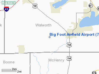
| From nearest city: | 3 nautical miles W of Walworth, WI |
| Location: | Walworth County, WI |
| Magnetic Variation: | 00W (1985) |
Owner & Manager
| Ownership: | Privately owned |
| Owner: | John C. Ingalls |
| Address: | W275 Beloit Rd
Walworth, WI 53184 |
| Phone number: | 262-736-4505 |
| Manager: | John C. Ingalls |
| Address: | W275 Beloit Rd
Walworth, WI 53184 |
| Phone number: | 262-736-4505 |
Airport Operations and Facilities
| Airport Use: | Open to public |
| Wind indicator: | Yes |
| Segmented Circle: | No |
| Control Tower: | No |
| Lighting Schedule: | RDO-CTL
ACTVT LIRL ON RY 18/36 - 123.75. |
| Landing fee charge: | No |
| Sectional chart: | Chicago |
| Region: | AGL - Great Lakes |
| Traffic Pattern Alt: | 800 ft |
| Boundary ARTCC: | ZAU - Chicago |
| Tie-in FSS: | GRB - Green Bay |
| FSS on Airport: | No |
| FSS Toll Free: | 1-800-WX-BRIEF |
| NOTAMs Facility: | GRB (NOTAM-d service avaliable) |
Airport Communications
Airport Services
| Bottled Oxygen: | NONE |
| Bulk Oxygen: | NONE |
Runway Information
Runway 09/27
| Dimension: | 2912 x 85 ft / 887.6 x 25.9 m |
| Surface: | TURF, Fair Condition |
| |
Runway 09 |
Runway 27 |
| Longitude: | 088-39-34.2832W | 088-38-55.3945W |
| Latitude: | 42-31-27.6583N | 42-31-27.8839N |
| Elevation: | 941.00 ft | 949.00 ft |
| Alignment: | 90 | 127 |
| Traffic Pattern: | Left | Left |
| Markings: | None, | None, |
| Runway End Identifier: | No | No |
| Centerline Lights: | No | No |
| Touchdown Lights: | No | No |
| Obstruction: | 50 ft tree, 100.0 ft from runway, 125 ft left of centerline, 2:1 slope to clear
DIKE IS PERPENDICULAR TO RWY. | , 50:1 slope to clear
+7' BRUSH & CROPS RIGHT & LEFT OF CNTRLN. |
|
Runway 18/36
| Dimension: | 2108 x 100 ft / 642.5 x 30.5 m |
| Surface: | TURF, Fair Condition |
| Edge Lights: | Non-standard lighting system
NSTD LIRL; RY 18 THLD LGTS ARE 45 FT S OF RY MARKERS. |
| |
Runway 18 |
Runway 36 |
| Longitude: | 088-39-05.1292W | 088-39-04.9044W |
| Latitude: | 42-31-49.1265N | 42-31-28.3079N |
| Elevation: | 946.00 ft | 946.00 ft |
| Alignment: | 127 | 127 |
| Traffic Pattern: | Left | Left |
| Markings: | None,
RYS 18/36 & 09/27 THLDS MKD WITH RED HALF BARRELS. | None, |
| Runway End Identifier: | No | No |
| Centerline Lights: | No | No |
| Touchdown Lights: | No | No |
| Obstruction: | 25 ft tree, 410.0 ft from runway, 120 ft left of centerline, 16:1 slope to clear
+25' LGT POLE 100' LEFT OF CNTRLN. | , 50:1 slope to clear
+3' CROPS LEFT & RIGHT OF CNTRLN. |
|
Radio Navigation Aids
| ID |
Type |
Name |
Ch |
Freq |
Var |
Dist |
| LVV | NDB | Lake Lawn | | 404.00 | 00W | 10.7 nm |
| JVL | NDB | Janesville | | 375.00 | 03E | 18.0 nm |
| RA | NDB | Paser | | 206.00 | 00E | 34.6 nm |
| GM | NDB | Teels | | 242.00 | 02W | 35.5 nm |
| DKB | NDB | Dekalb | | 209.00 | 02W | 35.6 nm |
| UES | NDB | Waukesha | | 359.00 | 01W | 36.2 nm |
| RYV | NDB | Rock River | | 371.00 | 01W | 39.1 nm |
| ME | NDB | Deana | | 350.00 | 00E | 43.6 nm |
| MS | NDB | Monah | | 400.00 | 00E | 44.5 nm |
| FEP | NDB | Freeport | | 335.00 | 00E | 44.7 nm |
| BL | NDB | Yanks | | 260.00 | 02W | 46.9 nm |
| BUU | VOR/DME | Burbun | 092X | 114.50 | 01W | 18.4 nm |
| JVL | VOR/DME | Janesville | 090X | 114.30 | 03E | 20.1 nm |
| RFD | VOR/DME | Rockford | 045X | 110.80 | 01E | 30.2 nm |
| ENW | VOR/DME | Kenosha | 029X | 109.20 | 02W | 32.2 nm |
| OBK | VOR/DME | Northbrook | 077X | 113.00 | 02W | 36.1 nm |
| HRK | VOR/DME | Horlick | 124X | 117.70 | 02W | 39.7 nm |
| DPA | VOR/DME | Dupage | 021X | 108.40 | 02E | 40.5 nm |
| LJT | VOR/DME | Timmerman | 072X | 112.50 | 02W | 44.4 nm |
| ORD | VOR/DME | Chicago O'hare | 086X | 113.90 | 02E | 46.4 nm |
| BAE | VORTAC | Badger | 111X | 116.40 | 02E | 39.1 nm |
| MSN | VORTAC | Madison | 023X | 108.60 | 03E | 48.0 nm |
| MKE | VOT | Milwaukee | | 109.00 | | 41.9 nm |
| ORD | VOT | Chicago O'hare Intl | | 112.00 | | 46.6 nm |
Remarks
- RWYS NOT PLOWED WINTER MONTHS - OPEN TO SKI EQUIPPED ACFT ONLY.
- ESTAB PRIOR TO 1959.
Images and information placed above are from
http://www.airport-data.com/airport/7V3/
We thank them for the data!
| General Info
|
| Country |
United States
|
| State |
WISCONSIN
|
| FAA ID |
7V3
|
| Latitude |
42-31-32.400N
|
| Longitude |
088-39-10.700W
|
| Elevation |
951 feet
|
| Near City |
WALWORTH
|
We don't guarantee the information is fresh and accurate. The data may
be wrong or outdated.
For more up-to-date information please refer to other sources.
|
|