|
|
 |
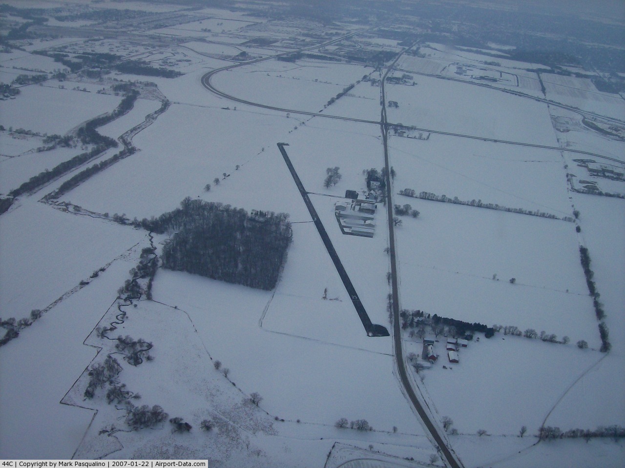
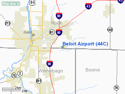
(Click on the photo to enlarge) |
 |
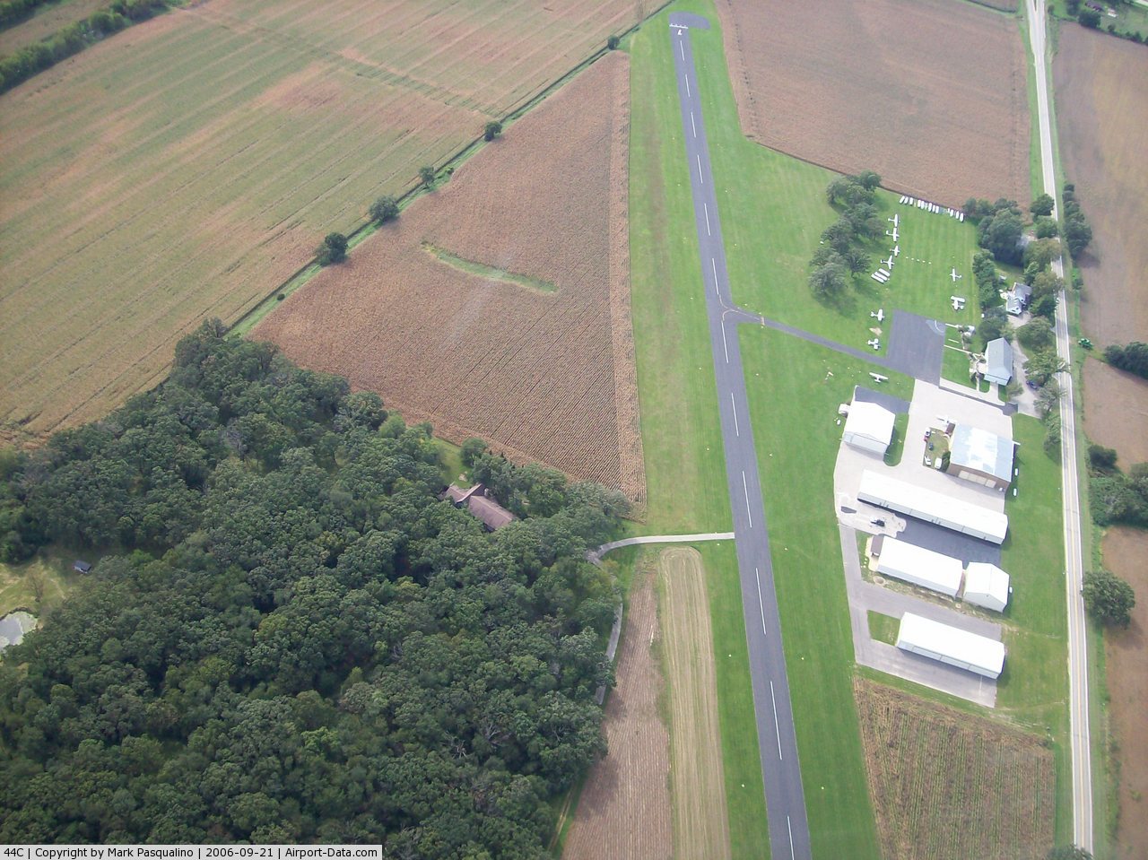
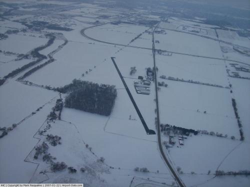
(Click on the photo to enlarge) |
 |
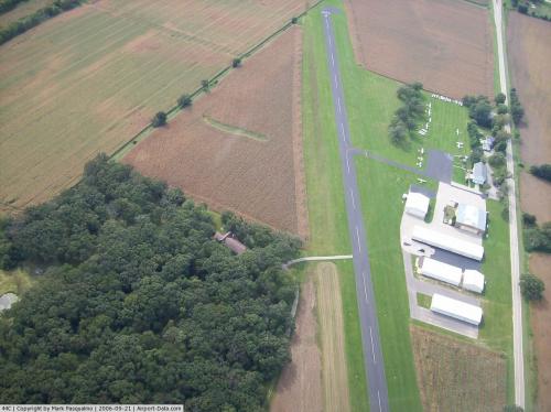
(Click on the photo to enlarge) |
 |
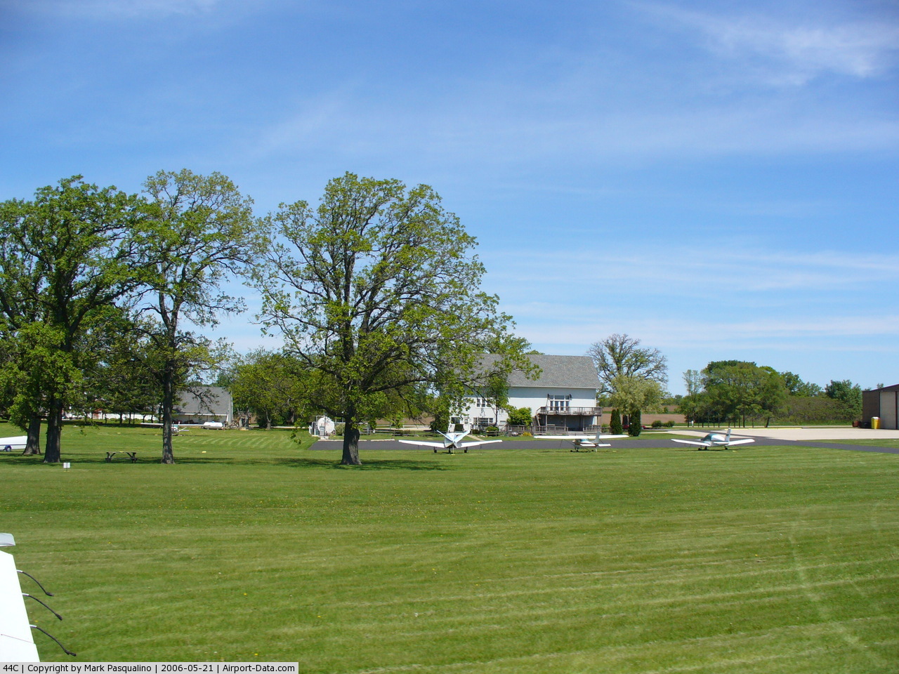
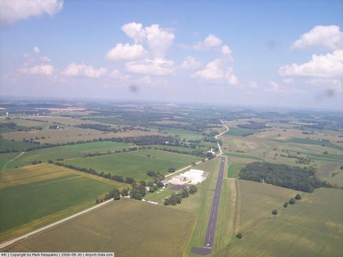
(Click on the photo to enlarge) |
 |
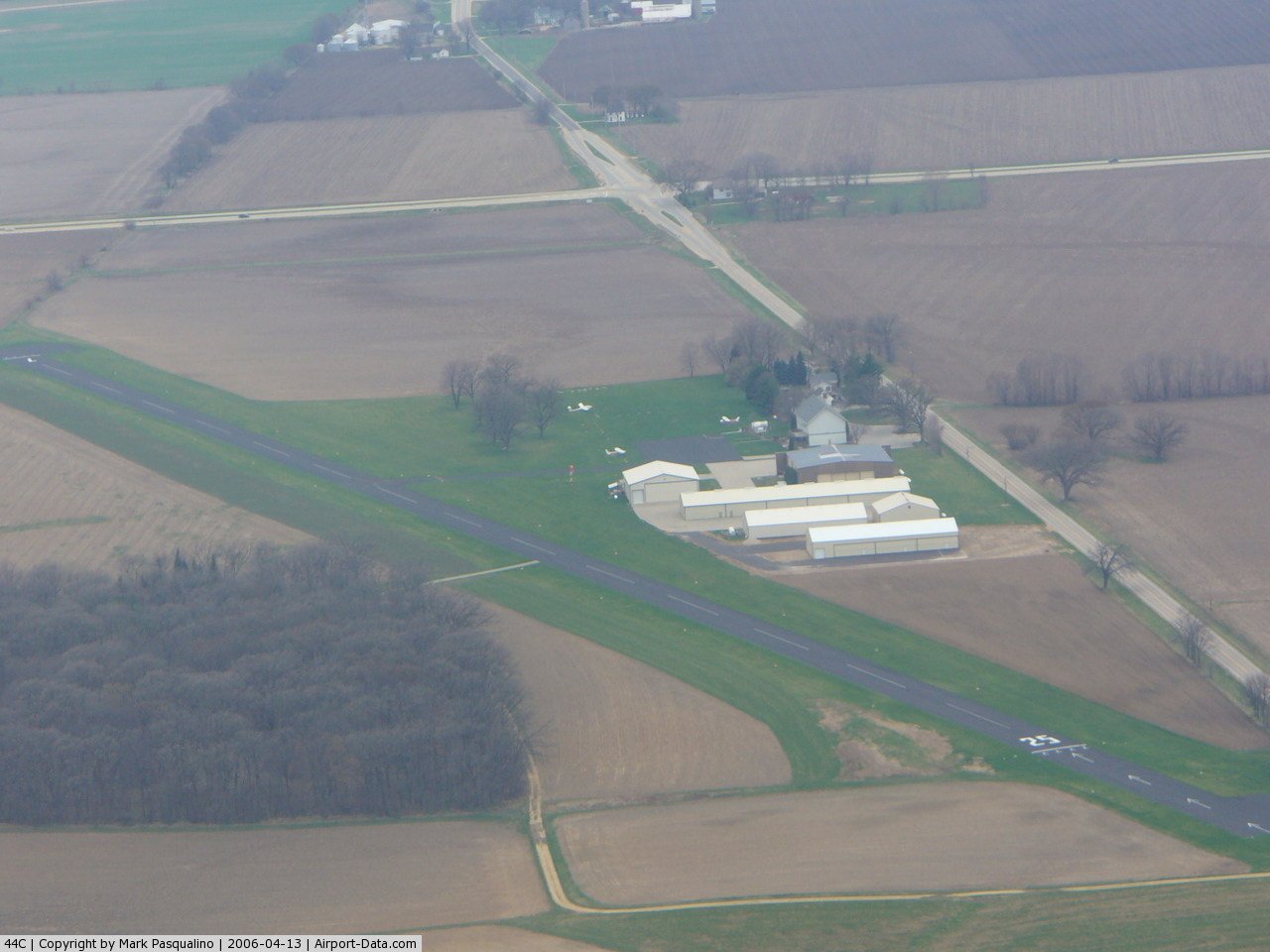
(Click on the photo to enlarge) |
Location & QuickFacts
| FAA Information Effective: | 2008-09-25 |
| Airport Identifier: | 44C |
| Airport Status: | Operational |
| Longitude/Latitude: | 088-58-03.4000W/42-29-52.0000N
-88.967611/42.497778 (Estimated) |
| Elevation: | 817 ft / 249.02 m (Surveyed) |
| Land: | 123 acres |
| From nearest city: | 3 nautical miles E of Beloit, WI |
| Location: | Rock County, WI |
| Magnetic Variation: | 00E (1985) |
Owner & Manager
| Ownership: | Privately owned |
| Owner: | Steve Stauber |
| Address: | 4046 State Hwy 67
Beloit, WI 53511 |
| Phone number: | 608-365-2998 |
| Manager: | Steve Stauber |
| Address: | 4046 State Hwy 67
Beloit, WI 53511 |
| Phone number: | 608-365-2998 |
Airport Operations and Facilities
| Airport Use: | Open to public |
| Wind indicator: | Yes |
| Segmented Circle: | No |
| Control Tower: | No |
| Lighting Schedule: | DUSK-2300
ACTVT LIRL RY 07/25 - CTAF. ROTG BCN OPER DUSK-2300; OTHER HRS BY REQ CALL AMGR 608-365-2998. |
| Beacon Color: | Clear-Green (lighted land airport) |
| Landing fee charge: | No |
| Sectional chart: | Chicago |
| Region: | AGL - Great Lakes |
| Traffic Pattern Alt: | 700 ft |
| Boundary ARTCC: | ZAU - Chicago |
| Tie-in FSS: | GRB - Green Bay |
| FSS on Airport: | No |
| FSS Toll Free: | 1-800-WX-BRIEF |
| NOTAMs Facility: | GRB (NOTAM-d service avaliable) |
Airport Communications
| CTAF: | 122.700 |
| Unicom: | 122.700 |
Airport Services
| Fuel available: | 100LL |
| Bottled Oxygen: | NONE |
| Bulk Oxygen: | NONE |
Runway Information
Runway 07/25
| Dimension: | 3300 x 50 ft / 1005.8 x 15.2 m |
| Surface: | ASPH, Good Condition |
| Weight Limit: | Single wheel: 12500 lbs. |
| Edge Lights: | Non-standard lighting system
NSTD LIRL 100 FT WIDE; 50 FT LEFT & RIGHT OF RY CNTRLN. |
| |
Runway 07 |
Runway 25 |
| Longitude: | 088-58-23.2190W | 088-57-43.5700W |
| Latitude: | 42-29-44.8850N | 42-29-59.0940N |
| Elevation: | 803.00 ft | 816.00 ft |
| Alignment: | 64 | 127 |
| Traffic Pattern: | Left | Left |
| Markings: | Nonstandard, Good Condition
NSTD THLD MARKING. MKGS LOCATED 92 FT NE OF EOR. | Basic, Good Condition |
| Displaced threshold: | 0.00 ft | 350.00 ft |
| Runway End Identifier: | No | No |
| Centerline Lights: | No | No |
| Touchdown Lights: | No | No |
| Obstruction: | , 50:1 slope to clear | 15 ft road, 200.0 ft from runway, 110 ft right of centerline
APCH RATIO 36:1 TO DSPLCD THLD TO ROAD. |
|
Radio Navigation Aids
| ID |
Type |
Name |
Ch |
Freq |
Var |
Dist |
| JVL | NDB | Janesville | | 375.00 | 03E | 7.8 nm |
| LVV | NDB | Lake Lawn | | 404.00 | 00W | 20.5 nm |
| FEP | NDB | Freeport | | 335.00 | 00E | 31.4 nm |
| DKB | NDB | Dekalb | | 209.00 | 02W | 35.8 nm |
| MS | NDB | Monah | | 400.00 | 00E | 37.8 nm |
| RYV | NDB | Rock River | | 371.00 | 01W | 42.0 nm |
| UES | NDB | Waukesha | | 359.00 | 01W | 46.1 nm |
| GM | NDB | Teels | | 242.00 | 02W | 47.8 nm |
| RA | NDB | Paser | | 206.00 | 00E | 48.6 nm |
| JVL | VOR/DME | Janesville | 090X | 114.30 | 03E | 7.1 nm |
| RFD | VOR/DME | Rockford | 045X | 110.80 | 01E | 19.3 nm |
| BUU | VOR/DME | Burbun | 092X | 114.50 | 01W | 31.6 nm |
| PLL | VOR/DME | Polo | 049X | 111.20 | 03E | 40.5 nm |
| DPA | VOR/DME | Dupage | 021X | 108.40 | 02E | 45.7 nm |
| ENW | VOR/DME | Kenosha | 029X | 109.20 | 02W | 46.3 nm |
| OBK | VOR/DME | Northbrook | 077X | 113.00 | 02W | 48.1 nm |
| MSN | VORTAC | Madison | 023X | 108.60 | 03E | 42.2 nm |
| BAE | VORTAC | Badger | 111X | 116.40 | 02E | 47.9 nm |
Remarks
- (A57-25-1) APCH RTIO 10:1 TO DSPLCD THLD; 54 FT SILO 560 FT FM DSPLCD THLD 190 FT R.
- GLIDER OPNS ON & INVOF ARPT.
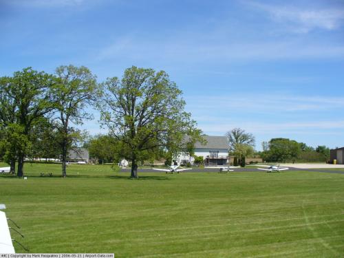
Images and information placed above are from
http://www.airport-data.com/airport/44C/
We thank them for the data!
| General Info
|
| Country |
United States
|
| State |
WISCONSIN
|
| FAA ID |
44C
|
| Latitude |
42-29-52.000N
|
| Longitude |
088-58-03.400W
|
| Elevation |
817 feet
|
| Near City |
BELOIT
|
We don't guarantee the information is fresh and accurate. The data may
be wrong or outdated.
For more up-to-date information please refer to other sources.
|
|