 |
|
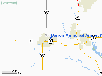
Location & QuickFacts
| FAA Information Effective: | 2008-09-25 |
| Airport Identifier: | 9Y7 |
| Airport Status: | Operational |
| Longitude/Latitude: | 091-50-03.6230W/45-24-26.8490N
-91.834340/45.407458 (Estimated) |
| Elevation: | 1113 ft / 339.24 m (Surveyed) |
| Land: | 29 acres |
| From nearest city: | 0 nautical miles NE of Barron, WI |
| Location: | Barron County, WI |
| Magnetic Variation: | 02E (1985) |
Owner & Manager
| Ownership: | Publicly owned |
| Owner: | City Of Barron |
| Address: | City Hall
Barron, WI 54812 |
| Phone number: | 715-537-5631 |
| Manager: | Richard Carr |
| Address: | 1420 State Hwy 25 South
Barron, WI 54812 |
| Phone number: | 715-635-6735 |
Airport Operations and Facilities
| Airport Use: | Open to public |
| Wind indicator: | Yes |
| Segmented Circle: | No |
| Control Tower: | No |
| Landing fee charge: | No |
| Sectional chart: | Green Bay |
| Region: | AGL - Great Lakes |
| Traffic Pattern Alt: | 1000 ft |
| Boundary ARTCC: | ZMP - Minneapolis |
| Tie-in FSS: | GRB - Green Bay |
| FSS on Airport: | No |
| FSS Toll Free: | 1-800-WX-BRIEF |
| NOTAMs Facility: | GRB (NOTAM-d service avaliable) |
Airport Communications
Airport Services
| Airframe Repair: | NONE |
| Power Plant Repair: | NONE |
| Bottled Oxygen: | NONE |
| Bulk Oxygen: | NONE |
Runway Information
Runway 09/27
| Dimension: | 2010 x 260 ft / 612.6 x 79.2 m |
| Surface: | TURF, Good Condition |
| |
Runway 09 |
Runway 27 |
| Traffic Pattern: | Left | Left |
| Markings: | None, | None, |
| Runway End Identifier: | No | No |
| Centerline Lights: | No | No |
| Touchdown Lights: | No | No |
| Obstruction: | 62 ft trees, 500.0 ft from runway, 40 ft right of centerline, 8:1 slope to clear | 17 ft road, 290.0 ft from runway, 17:1 slope to clear |
|
Radio Navigation Aids
| ID |
Type |
Name |
Ch |
Freq |
Var |
Dist |
| UBE | NDB | Cumberland | | 375.00 | 01E | 8.6 nm |
| SSQ | NDB | Shell Lake | | 212.00 | 01E | 19.6 nm |
| AHH | NDB | Ameron | | 278.00 | 01E | 23.9 nm |
| RNH | NDB | New Richmond | | 257.00 | 02E | 33.5 nm |
| BXR | NDB | Big Doctor | | 203.00 | 02E | 33.5 nm |
| RCX | NDB | Rusk County | | 356.00 | 00W | 35.6 nm |
| OEO | NDB | Osceola | | 233.00 | 01E | 36.5 nm |
| SLY | NDB | Seeley | | 344.00 | 01E | 46.4 nm |
| RPD | VOR/DME | Rice Lake | 037X | 110.00 | 01E | 2.4 nm |
| RZN | VOR/DME | Siren | 031X | 109.40 | 02E | 33.6 nm |
| HYR | VOR/DME | Hayward | 081X | 113.40 | 03E | 40.2 nm |
| EAU | VORTAC | Eau Claire | 076X | 112.90 | 04E | 34.2 nm |
Remarks
- RDO TWR 1640'MSL/400'AGL LCT 11500' NW RWY 09.
- RY 09/27 ENDS MARKED BY YELLOW CONES.
- ESTAB PRIOR 1959.
Images and information placed above are from
http://www.airport-data.com/airport/9Y7/
We thank them for the data!
| General Info
|
| Country |
United States
|
| State |
WISCONSIN
|
| FAA ID |
9Y7
|
| Latitude |
45-24-26.849N
|
| Longitude |
091-50-03.623W
|
| Elevation |
1113 feet
|
| Near City |
BARRON
|
We don't guarantee the information is fresh and accurate. The data may
be wrong or outdated.
For more up-to-date information please refer to other sources.
|
|


