|
|
Baraboo Wisconsin Dells Airport |
| Baraboo-Wisconsin Dells Airport |
| IATA: none – ICAO: KDLL – FAA LID: DLL |
| Summary |
| Airport type |
Public |
| Owner |
City of Baraboo, City of Wisconsin Dells, Town and Village of Lake Delton |
| Operator |
City of Baraboo |
| Serves |
Baraboo, Wisconsin Dells, Lake Delton |
| Elevation AMSL |
979 ft / 298 m |
| Coordinates |
43°31′19″N 089°46′15″W / 43.52194°N 89.77083°W / 43.52194; -89.77083 |
| Runways |
| Direction |
Length |
Surface |
| ft |
m |
| 1/19 |
4,800 |
1,463 |
Asphalt |
| 14/32 |
2,708 |
825 |
Turf |
| Statistics (2006) |
| Aircraft operations |
34,000 |
| Based aircraft |
49 |
| Source: Federal Aviation Administration |
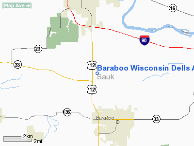
Baraboo-Wisconsin Dells Airport (ICAO: KDLL, FAA LID: DLL) is a public-use airport located three nautical miles (6 km) northwest of the central business district of Baraboo, in Sauk County, Wisconsin, United States. The airport is located between Baraboo and Lake Delton, Wisconsin on US 12 and it is adjacent to the Ho-Chunk Casino.
Although most U.S. airports use the same three-letter location identifier for the FAA and IATA, this airport is assigned DLL by the FAA but has no designation from the IATA (which assigned DLL to Dillon County Airport in Dillon, South Carolina). Facilities and aircraft
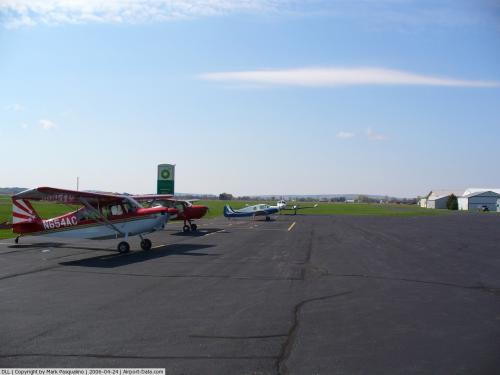
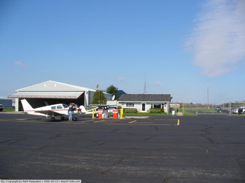
Baraboo-Wisconsin Dells Airport covers an area of 312 acres (126 ha) at an elevation of 979 feet (298 m) above mean sea level. It has two runways: 1/19 is 4,800 by 75 feet (1463 x 23 m) with an asphalt pavement and is equipped with LOC/DME; 14/32 is 2,708 by 100 feet (825 x 30 m) with a turf surface and is closed from November 15 through April 15.
Dells VORTAC is 1 mile north of the airfield
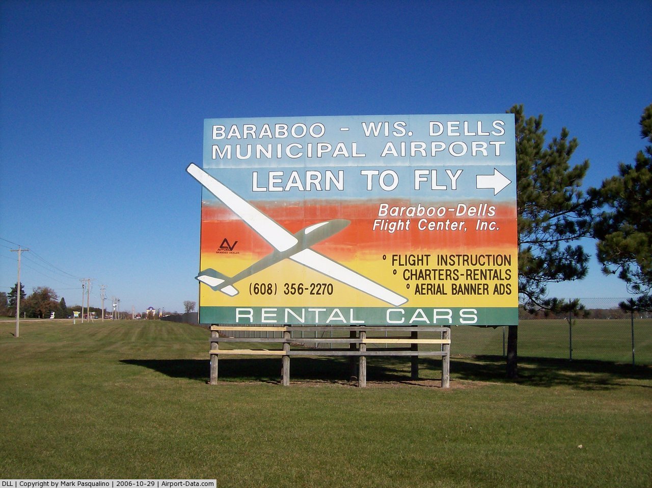
Baraboo-Dells Flight Center, Inc., is the fixed base operator.
For the 12-month period ending September 8, 2006, the airport had 34,000 aircraft operations, an average of 93 per day: 78% general aviation, 15% air taxi and 7% military. At that time there were 49 aircraft based at this airport: 86% single-engine, 10% multi-engine, 2% glider and 2% ultralight.
The above content comes from Wikipedia and is published under free licenses – click here to read more.
 |
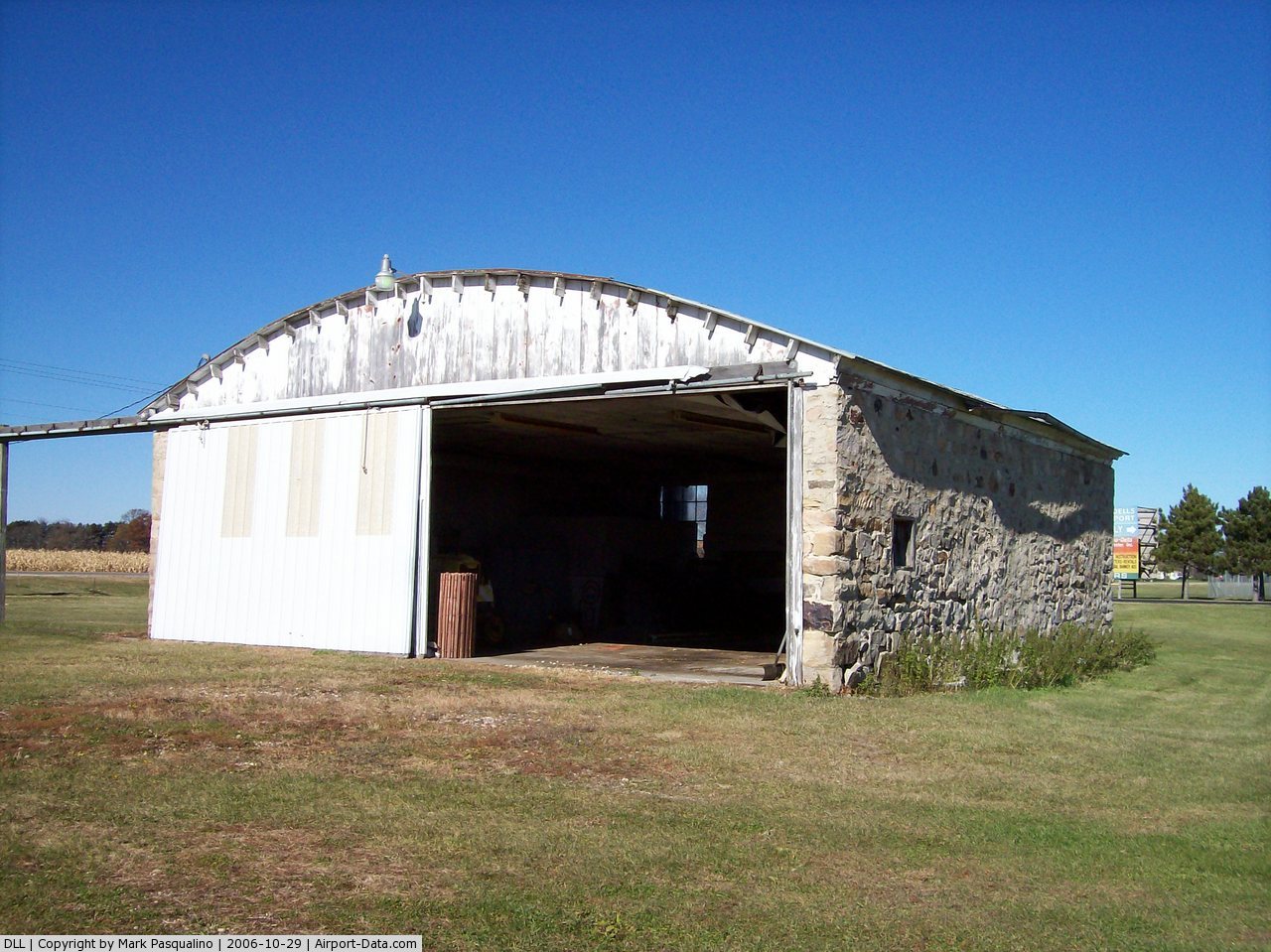
(Click on the photo to enlarge) |
 |
(Click on the photo to enlarge) |
 |
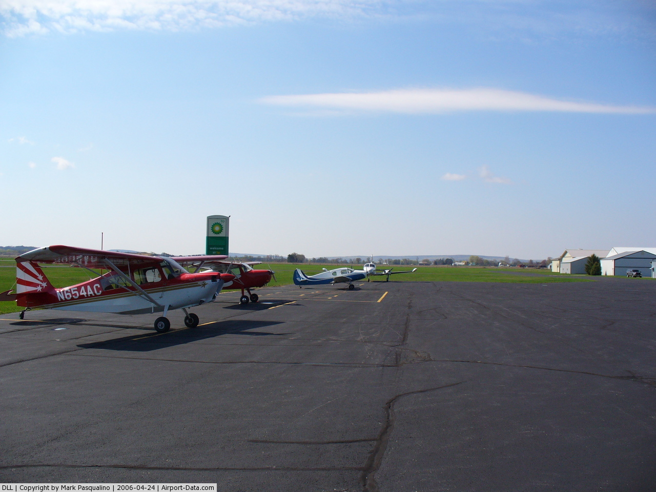
(Click on the photo to enlarge) |
 |
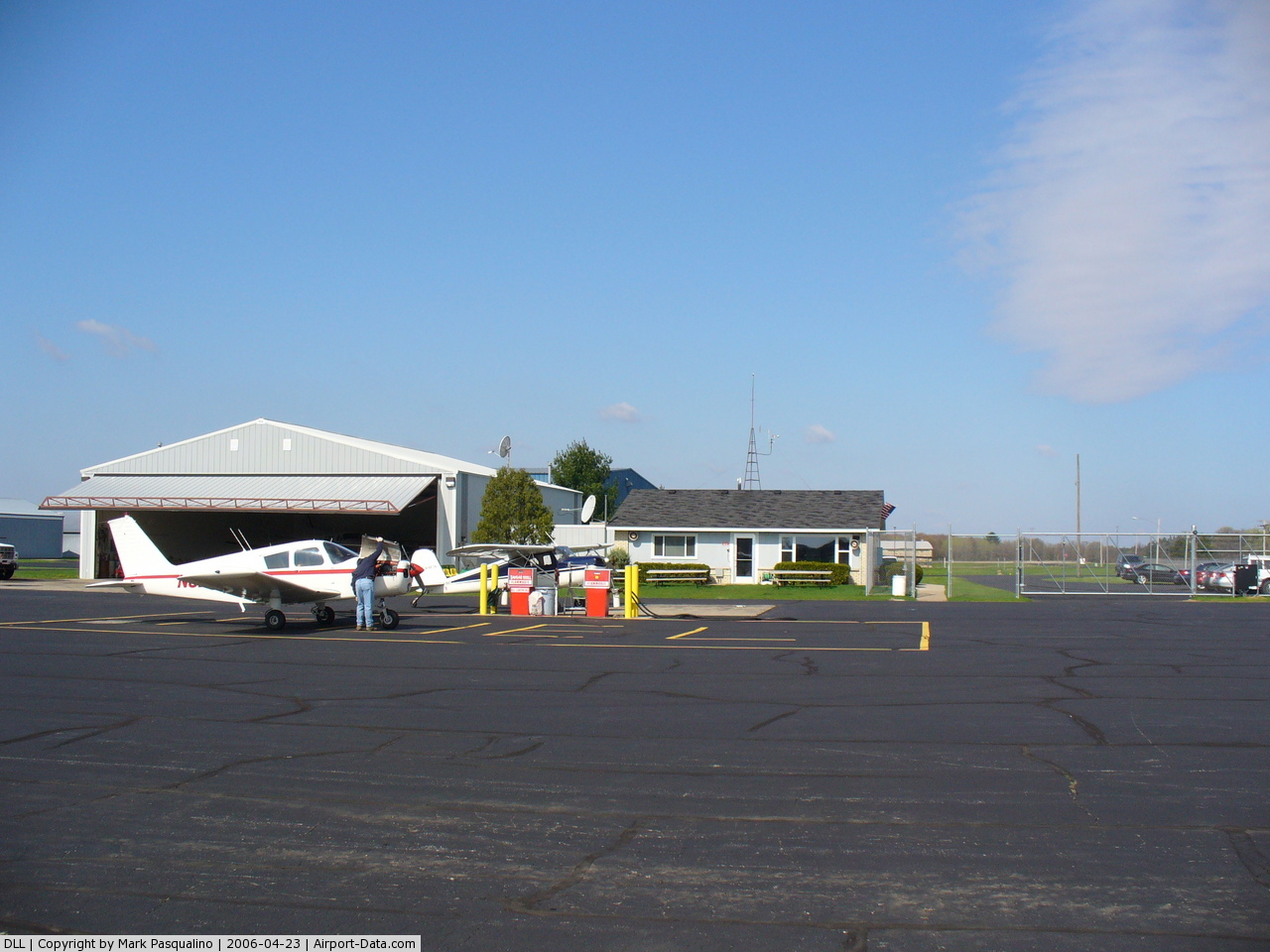
(Click on the photo to enlarge) |
Location & QuickFacts
| FAA Information Effective: | 2008-09-25 |
| Airport Identifier: | DLL |
| Airport Status: | Operational |
| Longitude/Latitude: | 089-46-15.2572W/43-31-19.0250N
-89.770905/43.521951 (Estimated) |
| Elevation: | 979 ft / 298.40 m (Surveyed) |
| Land: | 312 acres |
| From nearest city: | 3 nautical miles NW of Baraboo, WI |
| Location: | Sauk County, WI |
| Magnetic Variation: | 01W (2000) |
Owner & Manager
| Ownership: | Publicly owned |
| Owner: | Airport Commission
CITY OF BARABOO; CITY OF WISCONSIN DELLS - TOWN & VILLAGE OF LAKE DELTON. |
| Address: | 135 4th St
Baraboo, WI 53913 |
| Phone number: | 608-356-8361 |
| Manager: | Michael Olah |
| Address: | S3440 Hwy 12
Baraboo, WI 53913 |
| Phone number: | 608-356-2270 |
Airport Operations and Facilities
| Airport Use: | Open to public |
| Wind indicator: | Yes |
| Segmented Circle: | Yes |
| Control Tower: | No |
| Lighting Schedule: | DUSK-DAWN
HIRL RY 01/19 PRESET ON LOW INTST; TO INCR INTST & ACTVT REIL RYS 01 & 19 - CTAF. |
| Beacon Color: | Clear-Green (lighted land airport) |
| Landing fee charge: | No |
| Sectional chart: | Chicago |
| Region: | AGL - Great Lakes |
| Traffic Pattern Alt: | 1000 ft |
| Boundary ARTCC: | ZAU - Chicago |
| Tie-in FSS: | GRB - Green Bay |
| FSS on Airport: | No |
| FSS Toll Free: | 1-800-WX-BRIEF |
| NOTAMs Facility: | DLL (NOTAM-d service avaliable) |
| Federal Agreements: | NGY |
Airport Communications
| CTAF: | 123.050 |
| Unicom: | 123.050 |
Airport Services
| Fuel available: | 100LL80 A |
| Bottled Oxygen: | NONE |
| Bulk Oxygen: | NONE |
Runway Information
Runway 01/19
| Dimension: | 4800 x 75 ft / 1463.0 x 22.9 m |
| Surface: | ASPH, Good Condition |
| Weight Limit: | Single wheel: 19000 lbs.
Dual wheel: 30000 lbs. |
| Edge Lights: | High |
| |
Runway 01 |
Runway 19 |
| Longitude: | 089-46-17.8603W | 089-46-07.9261W |
| Latitude: | 43-30-58.2301N | 43-31-45.0560N |
| Elevation: | 976.00 ft | 967.00 ft |
| Alignment: | 9 | 127 |
| ILS Type: | LOC/DME | |
| Traffic Pattern: | Left | Left |
| Markings: | Non-precision instrument, Good Condition | Non-precision instrument, Good Condition |
| Crossing Height: | 0.00 ft | 26.00 ft |
| VASI: | | 2-light PAPI on left side |
| Visual Glide Angle: | 0.00° | 3.00° |
| Runway End Identifier: | Yes | Yes |
| Centerline Lights: | No | No |
| Touchdown Lights: | No | No |
| Obstruction: | 56 ft trees, 2100.0 ft from runway, 100 ft left of centerline, 33:1 slope to clear | 60 ft trees, 1400.0 ft from runway, 20:1 slope to clear |
|
Runway 14/32
| Dimension: | 2708 x 100 ft / 825.4 x 30.5 m |
| Surface: | TURF, Good Condition |
| |
Runway 14 |
Runway 32 |
| Longitude: | 089-46-32.4480W | 089-46-06.4470W |
| Latitude: | 43-31-23.8340N | 43-31-04.9350N |
| Alignment: | 127 | 127 |
| Traffic Pattern: | Left | Left |
| Markings: | None,
& 32 ENDS MARKED BY YELLOW & BLACK A-FRAMES. | None, |
| Runway End Identifier: | No | No |
| Centerline Lights: | No | No |
| Touchdown Lights: | No | No |
| Obstruction: | 38 ft pole, 650.0 ft from runway, 160 ft left of centerline, 17:1 slope to clear | 47 ft trees, 1800.0 ft from runway, 38:1 slope to clear |
|
Radio Navigation Aids
| ID |
Type |
Name |
Ch |
Freq |
Var |
Dist |
| HBW | NDB | Kickapoo | | 251.00 | 03E | 25.8 nm |
| MS | NDB | Monah | | 400.00 | 00E | 33.3 nm |
| MRJ | NDB | Mineral Point | | 365.00 | 00W | 43.0 nm |
| CMY | NDB | Mccoy | | 412.00 | 00E | 45.3 nm |
| UNU | NDB | Juneau | | 344.00 | 01W | 47.0 nm |
| VOK | TACAN | Volk | 041X | | 00E | 33.0 nm |
| LNR | VOR/DME | Lone Rock | 075X | 112.80 | 00E | 20.9 nm |
| DLL | VORTAC | Dells | 117X | 117.00 | 03E | 1.8 nm |
| MSN | VORTAC | Madison | 023X | 108.60 | 03E | 29.5 nm |
Remarks
- RY 14/32 NOT PLOWED & CLSD NOV 15 THRU APR 15. CONFIRM RY OPEN WITH AMGR 608-356-2270.
- BIRDS ON & INVOF ARPT IN FALL.
Images and information placed above are from
http://www.airport-data.com/airport/DLL/
We thank them for the data!
| General Info
|
| Country |
United States
|
| State |
WISCONSIN
|
| FAA ID |
DLL
|
| Latitude |
43-31-19.034N
|
| Longitude |
089-46-15.248W
|
| Elevation |
976 feet
|
| Near City |
BARABOO
|
We don't guarantee the information is fresh and accurate. The data may
be wrong or outdated.
For more up-to-date information please refer to other sources.
|
|