 |
|
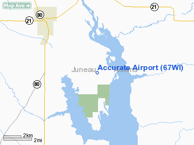
Location & QuickFacts
| FAA Information Effective: | 2008-09-25 |
| Airport Identifier: | 67WI |
| Airport Status: | Operational |
| Longitude/Latitude: | 089-59-49.4600W/43-58-15.8850N
-89.997072/43.971079 (Estimated) |
| Elevation: | 890 ft / 271.27 m (Estimated) |
| Land: | 0 acres |
| From nearest city: | 5 nautical miles SE of Necedah, WI |
| Location: | Juneau County, WI |
| Magnetic Variation: | 00E (1985) |
Owner & Manager
| Ownership: | Privately owned |
| Owner: | Mike Charewicz |
| Address: | 1375 South Elmhurst Rd
Des Plaines, IL 60018 |
| Phone number: | 708-297-1330 |
| Manager: | Mike Charewicz |
| Address: | 1375 South Elmhurst Blvd
Des Plaines, IL 60018 |
| Phone number: | 708-297-1330 |
Airport Operations and Facilities
| Airport Use: | Private |
| Wind indicator: | Yes |
| Segmented Circle: | No |
| Control Tower: | No |
| Landing fee charge: | No |
| Sectional chart: | Chicago |
| Region: | AGL - Great Lakes |
| Traffic Pattern Alt: | 800 ft |
| Boundary ARTCC: | ZAU - Chicago |
| Tie-in FSS: | GRB - Green Bay |
| FSS on Airport: | No |
| FSS Toll Free: | 1-800-WX-BRIEF |
Airport Services
| Airframe Repair: | NONE |
| Power Plant Repair: | NONE |
| Bottled Oxygen: | NONE |
| Bulk Oxygen: | NONE |
Runway Information
Runway 18/36
| Dimension: | 2600 x 80 ft / 792.5 x 24.4 m |
| Surface: | TURF, |
| |
Runway 18 |
Runway 36 |
| Traffic Pattern: | Right | Left |
| Displaced threshold: | 200.00 ft | 0.00 ft |
|
Radio Navigation Aids
| ID |
Type |
Name |
Ch |
Freq |
Var |
Dist |
| HBW | NDB | Kickapoo | | 251.00 | 03E | 23.9 nm |
| ISW | NDB | Wisconsin Rapids | | 215.00 | 01W | 24.6 nm |
| CMY | NDB | Mccoy | | 412.00 | 00E | 28.0 nm |
| BCK | NDB | Black River Falls | | 362.00 | 00E | 40.5 nm |
| MFI | NDB | Marshfield | | 391.00 | 00E | 41.1 nm |
| VIQ | NDB | Neillsville | | 368.00 | 01W | 41.7 nm |
| PCZ | NDB | Waupaca | | 382.00 | 01W | 47.5 nm |
| VOK | TACAN | Volk | 041X | | 00E | 11.5 nm |
| LNR | VOR/DME | Lone Rock | 075X | 112.80 | 00E | 41.1 nm |
| DLL | VORTAC | Dells | 117X | 117.00 | 03E | 27.2 nm |
| STE | VORTAC | Stevens Point | 043X | 110.60 | 01W | 39.8 nm |
Remarks
- RWY NOT PLOWED IN WINTER; DEER CROSSING ON RWY.
- TFC MUST BE TO W OF RY.
Images and information placed above are from
http://www.airport-data.com/airport/67WI/
We thank them for the data!
| General Info
|
| Country |
United States
|
| State |
WISCONSIN
|
| FAA ID |
67WI
|
| Latitude |
43-58-15.885N
|
| Longitude |
089-59-49.460W
|
| Elevation |
890 feet
|
| Near City |
NECEDAH
|
We don't guarantee the information is fresh and accurate. The data may
be wrong or outdated.
For more up-to-date information please refer to other sources.
|
|


