 |
|
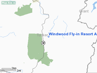
Windwood Fly-in Resort Airport |
Location & QuickFacts
| FAA Information Effective: | 2008-09-25 |
| Airport Identifier: | WV62 |
| Airport Status: | Operational |
| Longitude/Latitude: | 079-25-53.1790W/39-03-18.3910N
-79.431439/39.055109 (Estimated) |
| Elevation: | 3210 ft / 978.41 m (Estimated) |
| Land: | 130 acres |
| From nearest city: | 5 nautical miles S of Davis, WV |
| Location: | Tucker County, WV |
| Magnetic Variation: | 08W (1990) |
Owner & Manager
| Ownership: | Privately owned |
| Owner: | Windwood Fly-in Resort |
| Address: | Hc 70, Box 105
Davis, WV 26260 |
| Phone number: | 888-359-4667 |
| Manager: | Joe Beam |
| Address: | Hc 70, Box 105
Davis, WV 26260 |
| Phone number: | 888-359-4667 |
Airport Operations and Facilities
| Airport Use: | Private |
| Wind indicator: | Yes |
| Segmented Circle: | No |
| Control Tower: | No |
| Lighting Schedule: | DUSK-DAWN |
| Sectional chart: | Cincinnati |
| Region: | AEA - Eastern |
| Boundary ARTCC: | ZDC - Washington |
| Tie-in FSS: | EKN - Elkins |
| FSS on Airport: | No |
| FSS Toll Free: | 1-800-WX-BRIEF |
Runway Information
Runway 06/24
| Dimension: | 3000 x 40 ft / 914.4 x 12.2 m |
| Surface: | ASPH, |
| Edge Lights: | Low |
| |
Runway 06 |
Runway 24 |
| Traffic Pattern: | Left | Left |
| Markings: | Basic, Good Condition | Basic, Good Condition |
| Obstruction: | | 70 ft trees, 600.0 ft from runway |
|
Radio Navigation Aids
| ID |
Type |
Name |
Ch |
Freq |
Var |
Dist |
| RQY | NDB | Randolph County | | 284.00 | 07W | 22.2 nm |
| VBW | NDB | Bridgewater | | 241.00 | 07W | 46.9 nm |
| CBE | NDB | Cumberland | | 317.00 | 07W | 47.8 nm |
| LUA | NDB | Caverns | | 245.00 | 09W | 49.7 nm |
| ESL | VOR/DME | Kessel | 045X | 110.80 | 06W | 23.0 nm |
| GRV | VOR/DME | Grantsville | 070X | 112.30 | 06W | 39.1 nm |
| CKB | VOR/DME | Clarksburg | 073X | 112.60 | 04W | 40.8 nm |
| EKN | VORTAC | Elkins | 089X | 114.20 | 07W | 32.3 nm |
| MGW | VORTAC | Morgantown | 053X | 111.60 | 05W | 36.2 nm |
Remarks
Images and information placed above are from
http://www.airport-data.com/airport/WV62/
We thank them for the data!
| General Info
|
| Country |
United States
|
| State |
WEST VIRGINIA
|
| FAA ID |
WV62
|
| Latitude |
39-03-18.391N
|
| Longitude |
079-25-53.179W
|
| Elevation |
3210 feet
|
| Near City |
DAVIS
|
We don't guarantee the information is fresh and accurate. The data may
be wrong or outdated.
For more up-to-date information please refer to other sources.
|
|


