 |
|
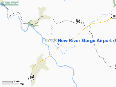
Location & QuickFacts
| FAA Information Effective: | 2008-09-25 |
| Airport Identifier: | WV32 |
| Airport Status: | Operational |
| Longitude/Latitude: | 081-03-54.3640W/38-05-20.3970N
-81.065101/38.088999 (Estimated) |
| Elevation: | 1720 ft / 524.26 m (Estimated) |
| Land: | 25 acres |
| From nearest city: | 1 nautical miles N of Lansing, WV |
| Location: | Fayette County, WV |
| Magnetic Variation: | 06W (1985) |
Owner & Manager
| Ownership: | Privately owned |
| Owner: | Vincent I. Kessler |
| Address: | Box 55
Lansing, WV 25862 |
| Phone number: | 304-658-5457 |
| Manager: | Vincent I. Kessler |
| Address: | Box 55
Lansing, WV 25862 |
| Phone number: | 304-658-5457 |
Airport Operations and Facilities
| Airport Use: | Private |
| Wind indicator: | Yes |
| Segmented Circle: | No |
| Control Tower: | No |
| Lighting Schedule: | RDO-CTL
ACTVT LIRL RY 04/22 & ROTG BCN - 122.3. |
| Beacon Color: | Clear-Green (lighted land airport) |
| Landing fee charge: | No |
| Sectional chart: | Cincinnati |
| Region: | AEA - Eastern |
| Boundary ARTCC: | ZID - Indianapolis |
| Tie-in FSS: | EKN - Elkins |
| FSS on Airport: | No |
| FSS Toll Free: | 1-800-WX-BRIEF |
Airport Services
| Airframe Repair: | NONE |
| Power Plant Repair: | NONE |
| Bottled Oxygen: | NONE |
| Bulk Oxygen: | NONE |
Runway Information
Runway 04/22
| Dimension: | 2950 x 24 ft / 899.2 x 7.3 m |
| Surface: | ASPH, Fair Condition |
| Edge Lights: | Low
NSTD THR LGTS 4 GREEN LGTS EACH END. |
| |
Runway 04 |
Runway 22 |
| Traffic Pattern: | Right | Left |
| Markings: | Basic, Fair Condition | ,
FIRST 730' UNMKD; NO RY NUMBERS ON RY 22. |
| Runway End Identifier: | No | No |
| Centerline Lights: | No | No |
| Touchdown Lights: | No | No |
| Obstruction: | 19 ft tree, 300.0 ft from runway, 100 ft right of centerline, 5:1 slope to clear
+50' TREES 100' FM THR 115' R; +8' TREES 135' FM THR. | 21 ft tree, 400.0 ft from runway, 30 ft right of centerline, 9:1 slope to clear
+34' POLE 61' FM THR 98' R; +8' TREES 70' FM THR 110' L; +23' TREE 150' FM THR 75' R. |
|
Radio Navigation Aids
| ID |
Type |
Name |
Ch |
Freq |
Var |
Dist |
| IJZ | NDB | Nicholas | | 272.00 | 05W | 8.6 nm |
| LW | NDB | Bushi | | 346.00 | 06W | 33.8 nm |
| JTM | NDB | Braxton | | 234.00 | 06W | 40.8 nm |
| GTC | NDB | Guyandot | | 293.00 | 03W | 44.0 nm |
| RNL | VOR | Rainelle | | 116.60 | 04W | 14.0 nm |
| LWB | VOR/DME | Greenbrier | 107Y | 116.05 | 08W | 34.6 nm |
| BKW | VORTAC | Beckley | 124X | 117.70 | 06W | 18.8 nm |
| HVQ | VORTAC | Charleston | 121X | 117.40 | 03W | 36.8 nm |
| BLF | VORTAC | Bluefield | 037X | 110.00 | 03W | 47.4 nm |
| CRW | VOT | Charleston Kanawha | | 108.80 | | 30.2 nm |
Remarks
- 30' PLINE MKD BY BALLS 600' FM RY 22 THR.
Images and information placed above are from
http://www.airport-data.com/airport/WV32/
We thank them for the data!
| General Info
|
| Country |
United States
|
| State |
WEST VIRGINIA
|
| FAA ID |
WV32
|
| Latitude |
38-05-20.397N
|
| Longitude |
081-03-54.364W
|
| Elevation |
1720 feet
|
| Near City |
LANSING
|
We don't guarantee the information is fresh and accurate. The data may
be wrong or outdated.
For more up-to-date information please refer to other sources.
|
|


