 |
|
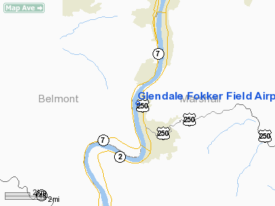
Glendale Fokker Field Airport |
Location & QuickFacts
| FAA Information Effective: | 2008-09-25 |
| Airport Identifier: | WV66 |
| Airport Status: | Operational |
| Longitude/Latitude: | 080-45-34.3070W/39-56-55.2660N
-80.759530/39.948685 (Estimated) |
| Elevation: | 648 ft / 197.51 m (Estimated) |
| Land: | 0 acres |
| From nearest city: | 0 nautical miles W of Glendale, WV |
| Location: | Marshall County, WV |
| Magnetic Variation: | 07W (1985) |
Owner & Manager
| Ownership: | Privately owned |
| Owner: | Thomas Andrich |
| Address: | 305 Tomlinson Ave
Glendale, WV 26038 |
| Manager: | Chuck Yager |
| Address: | 2101 Deegan Avenue
Benwood, WV 26031 |
| Phone number: | 304-233-8956 |
Airport Operations and Facilities
| Airport Use: | Private |
| Wind indicator: | Yes |
| Segmented Circle: | No |
| Control Tower: | No |
| Landing fee charge: | No |
| Sectional chart: | Cincinnati |
| Region: | AEA - Eastern |
| Boundary ARTCC: | ZOB - Cleveland |
| Tie-in FSS: | EKN - Elkins |
| FSS on Airport: | No |
| FSS Toll Free: | 1-800-WX-BRIEF |
Airport Communications
Airport Services
| Airframe Repair: | MAJOR |
| Power Plant Repair: | MAJOR |
Runway Information
Runway 01/19
| Dimension: | 2600 x 100 ft / 792.5 x 30.5 m |
| Surface: | TURF, |
| |
Runway 01 |
Runway 19 |
| Traffic Pattern: | Left | Left |
| Runway End Identifier: | No | No |
|
Radio Navigation Aids
| ID |
Type |
Name |
Ch |
Freq |
Var |
Dist |
| PKB | FAN MARKER | Marietta Ohio | | | 03W | 45.4 nm |
| CFX | NDB | Cadiz | | 239.00 | 07W | 20.9 nm |
| PNU | NDB | Washington County | | 255.00 | 08W | 29.9 nm |
| TSO | NDB | Tolson | | 395.00 | 07W | 39.7 nm |
| VV | NDB | Camor | | 299.00 | 08W | 47.0 nm |
| AIR | VOR/DME | Bellaire | 118X | 117.10 | 07W | 4.9 nm |
| HLG | VOR/DME | Wheeling | 059X | 112.20 | 07W | 20.7 nm |
| CTW | VOR/DME | Newcomerstown | 055X | 111.80 | 07W | 37.0 nm |
| AGC | VOR/DME | Allegheny | 037X | 110.00 | 09W | 38.5 nm |
| CKB | VOR/DME | Clarksburg | 073X | 112.60 | 04W | 47.6 nm |
| MMJ | VORTAC | Montour | 057X | 112.00 | 08W | 41.5 nm |
| JPU | VORTAC | Parkersburg | 023X | 108.60 | 03W | 41.7 nm |
| MGW | VORTAC | Morgantown | 053X | 111.60 | 05W | 47.8 nm |
Remarks
- RWY 01 860' STACK-L 2 MI FROM THR.
Images and information placed above are from
http://www.airport-data.com/airport/WV66/
We thank them for the data!
| General Info
|
| Country |
United States
|
| State |
WEST VIRGINIA
|
| FAA ID |
WV66
|
| Latitude |
39-56-55.266N
|
| Longitude |
080-45-34.307W
|
| Elevation |
648 feet
|
| Near City |
GLENDALE
|
We don't guarantee the information is fresh and accurate. The data may
be wrong or outdated.
For more up-to-date information please refer to other sources.
|
|


