 |
|
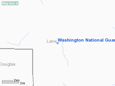
Washington National Guard - Sinclair Hgts Heliport |
Location & QuickFacts
| FAA Information Effective: | 2008-09-25 |
| Airport Identifier: | WA65 |
| Airport Status: | Operational |
| Longitude/Latitude: | 122-40-54.1980W/43-33-17.4350N
-122.681722/43.554843 (Estimated) |
| Elevation: | 340 ft / 103.63 m (Estimated) |
| Land: | 80 acres |
| From nearest city: | 2 nautical miles SW of Bremerton, WA |
| Location: | Kitsap County, WA |
| Magnetic Variation: | 18E (1990) |
Owner & Manager
| Ownership: | Publicly owned |
| Owner: | Washington National Guard |
| Address: | 1201 Union Ave
Bremerton, WA 98312-4357 |
| Phone number: | 360-478-4812 |
| Manager: | Commanding Officer Or Ncoic |
| Address: | 1201 Union Ave
Bremerton, WA 98312-4357 |
| Phone number: | 360-478-4812 |
Airport Operations and Facilities
| Airport Use: | Private
MEDICAL USE. |
| Segmented Circle: | No |
| Control Tower: | No |
| Sectional chart: | Klamath Falls |
| Region: | ANM - Northwest Mountain |
| Boundary ARTCC: | ZSE - Seattle |
| Tie-in FSS: | SEA - Seattle |
| FSS Toll Free: | 1-800-WX-BRIEF |
Runway Information
Helipad H1
| Dimension: | 90 x 45 ft / 27.4 x 13.7 m |
| Surface: | ASPH, |
| |
Runway H1 |
Runway |
| Traffic Pattern: | Left | Left |
|
Radio Navigation Aids
| ID |
Type |
Name |
Ch |
Freq |
Var |
Dist |
| RBG | NDB | Roseburg | | 400.00 | 20E | 35.2 nm |
| EU | NDB | Frakk | | 260.00 | 19E | 45.9 nm |
| RBG | VOR/DME | Roseburg | 019X | 108.20 | 20E | 36.9 nm |
| EUG | VORTAC | Eugene | 076X | 112.90 | 20E | 41.3 nm |
Images and information placed above are from
http://www.airport-data.com/airport/WA65/
We thank them for the data!
| General Info
|
| Country |
United States
|
| State |
WASHINGTON
|
| FAA ID |
WA65
|
| Latitude |
43-33-17.435N
|
| Longitude |
122-40-54.198W
|
| Elevation |
340 feet
|
| Near City |
BREMERTON
|
We don't guarantee the information is fresh and accurate. The data may
be wrong or outdated.
For more up-to-date information please refer to other sources.
|
|


