 |
|
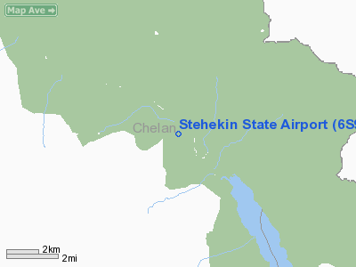
Location & QuickFacts
| FAA Information Effective: | 2008-09-25 |
| Airport Identifier: | 6S9 |
| Airport Status: | Operational |
| Longitude/Latitude: | 120-43-14.3620W/48-20-44.4860N
-120.720656/48.345691 (Estimated) |
| Elevation: | 1230 ft / 374.90 m (Estimated) |
| Land: | 0 acres |
| From nearest city: | 3 nautical miles NW of Stehekin, WA |
| Location: | Chelan County, WA |
| Magnetic Variation: | 20E (1985) |
Owner & Manager
| Ownership: | Publicly owned |
| Owner: | Wsdot Aviation Div |
| Address: | 3704 172nd Street Ne, Suite K2, Po Box 3367
Arlington, WA 98223-6336 |
| Phone number: | 360-651-6300 |
| Manager: | Wa State Aviation Div |
| Address: | 3704 172nd Street Ne, Suite K2, Po Box 3367
Arlington, WA 98223-6336 |
| Phone number: | 800-552-0666 |
Airport Operations and Facilities
| Airport Use: | Open to public |
| Wind indicator: | Yes |
| Segmented Circle: | No |
| Control Tower: | No |
| Landing fee charge: | No |
| Sectional chart: | Seattle |
| Region: | ANM - Northwest Mountain |
| Boundary ARTCC: | ZSE - Seattle |
| Tie-in FSS: | SEA - Seattle |
| FSS on Airport: | No |
| FSS Toll Free: | 1-800-WX-BRIEF |
| NOTAMs Facility: | SEA (NOTAM-d service avaliable) |
Airport Communications
Airport Services
| Airframe Repair: | NONE |
| Power Plant Repair: | NONE |
| Bottled Oxygen: | NONE |
| Bulk Oxygen: | NONE |
Runway Information
Runway 13/31
| Dimension: | 2630 x 100 ft / 801.6 x 30.5 m |
| Surface: | TURF, Fair Condition |
| |
Runway 13 |
Runway 31 |
| Traffic Pattern: | Left | Left |
| Obstruction: | 29 ft trees, 66 ft right of centerline | 5 ft brush, 0.0 ft from runway, 52 ft left of centerline |
|
Radio Navigation Aids
| ID |
Type |
Name |
Ch |
Freq |
Var |
Dist |
| OMK | NDB | Omak | | 219.00 | 19E | 48.5 nm |
Remarks
- ARPT CLSD OCT-JUN.
- PEDESTRIANS, VEHICLES, AND ANIMALS MAY BE ON RWY.
- CAUTION--DENSITY ALTITUDE.
- CONTACT WASHINGTON STATE AVIATION DIVISION 360-651-6300 OR WITHIN WASHINGTON STATE 1-800-552-0666 FOR FACILTY INFO PRIOR TO USE.
- HIGH TERRAIN IN BOTH APPROACHES CLOSE IN.
- ESTABD PRIOR TO 15 MAY 59.
Images and information placed above are from
http://www.airport-data.com/airport/6S9/
We thank them for the data!
| General Info
|
| Country |
United States
|
| State |
WASHINGTON
|
| FAA ID |
6S9
|
| Latitude |
48-20-44.486N
|
| Longitude |
120-43-14.362W
|
| Elevation |
1230 feet
|
| Near City |
STEHEKIN
|
We don't guarantee the information is fresh and accurate. The data may
be wrong or outdated.
For more up-to-date information please refer to other sources.
|
|


