 |
|
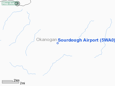
Location & QuickFacts
| FAA Information Effective: | 2008-09-25 |
| Airport Identifier: | 5WA0 |
| Airport Status: | Operational |
| Longitude/Latitude: | 119-06-02.1000W/48-35-44.3000N
-119.100583/48.595639 (Estimated) |
| Elevation: | 2640 ft / 804.67 m (Estimated) |
| Land: | 80 acres |
| From nearest city: | 15 nautical miles SE of Tonasket, WA |
| Location: | Okanogan County, WA |
| Magnetic Variation: | 19E (1995) |
Owner & Manager
| Ownership: | Privately owned |
| Owner: | Dan Rogers |
| Address: | 17310 Sr 9
Snohomish, WA 98290 |
| Phone number: | 206-668-8984 |
| Manager: | Dan Rogers |
| Address: | 17310 Sr 9
Snohomish, WA 98290 |
| Phone number: | 206-668-8984 |
Airport Operations and Facilities
| Airport Use: | Private |
| Wind indicator: | Yes |
| Segmented Circle: | No |
| Control Tower: | No |
| Sectional chart: | Seattle |
| Region: | ANM - Northwest Mountain |
| Boundary ARTCC: | ZSE - Seattle |
| Tie-in FSS: | SEA - Seattle |
| FSS on Airport: | No |
| FSS Toll Free: | 1-800-WX-BRIEF |
Runway Information
Runway 12/30
| Dimension: | 2650 x 60 ft / 807.7 x 18.3 m |
| Surface: | TURF, |
| |
Runway 12 |
Runway 30 |
| Traffic Pattern: | Left | Left |
| Obstruction: | | 4 ft fence, 0.0 ft from runway |
|
Radio Navigation Aids
| ID |
Type |
Name |
Ch |
Freq |
Var |
Dist |
| OMK | NDB | Omak | | 219.00 | 19E | 18.7 nm |
| ON | NDB | Okanagan | | 356.00 | 20E | 48.5 nm |
Remarks
- RY 12/30 HAS MOLE HILLS & MAY BE SOFT EARLY SPRING.
Images and information placed above are from
http://www.airport-data.com/airport/5WA0/
We thank them for the data!
| General Info
|
| Country |
United States
|
| State |
WASHINGTON
|
| FAA ID |
5WA0
|
| Latitude |
48-35-44.300N
|
| Longitude |
119-06-02.100W
|
| Elevation |
2640 feet
|
| Near City |
TONASKET
|
We don't guarantee the information is fresh and accurate. The data may
be wrong or outdated.
For more up-to-date information please refer to other sources.
|
|


