 |
|
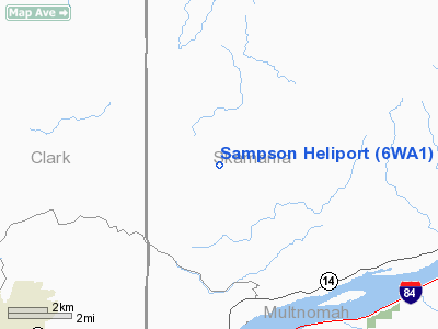
Location & QuickFacts
| FAA Information Effective: | 2008-09-25 |
| Airport Identifier: | 6WA1 |
| Airport Status: | Operational |
| Longitude/Latitude: | 122-12-04.3220W/45-38-59.4210N
-122.201201/45.649839 (Estimated) |
| Elevation: | 525 ft / 160.02 m (Estimated) |
| Land: | 1 acres |
| From nearest city: | 9 nautical miles NE of Camas, WA |
| Location: | Clark County, WA |
| Magnetic Variation: | 19E (1995) |
Owner & Manager
| Ownership: | Privately owned |
| Owner: | Kenneth R Sampson |
| Address: | 31102 Ne 37 Street
Camas, WA 98607 |
| Phone number: | 360-834-1821 |
| Manager: | Kenneth R Sampson |
| Address: | 31102 Ne 37 Street
Camas, WA 98607 |
| Phone number: | 360-834-1821 |
Airport Operations and Facilities
| Airport Use: | Private |
| Wind indicator: | Yes |
| Segmented Circle: | No |
| Control Tower: | No |
| Sectional chart: | Seattle |
| Region: | ANM - Northwest Mountain |
| Boundary ARTCC: | ZSE - Seattle |
| Tie-in FSS: | SEA - Seattle |
| FSS on Airport: | No |
| FSS Toll Free: | 1-800-WX-BRIEF |
Runway Information
Helipad H1
| Dimension: | 80 x 80 ft / 24.4 x 24.4 m |
| Surface: | TURF, |
| |
Runway H1 |
Runway |
| Traffic Pattern: | Left | Left |
|
Radio Navigation Aids
| ID |
Type |
Name |
Ch |
Freq |
Var |
Dist |
| LBH | NDB | Laker | | 332.00 | 20E | 12.8 nm |
| PND | NDB | Banks | | 356.00 | 21E | 35.5 nm |
| LSO | NDB | Kelso | | 256.00 | 21E | 42.5 nm |
| CBU | TACAN | Columbia | 029X | | 20E | 17.6 nm |
| PDX | VOR/DME | Portland | 055X | 111.80 | 20E | 17.4 nm |
| UBG | VOR/DME | Newberg | 121X | 117.40 | 21E | 37.3 nm |
| LTJ | VOR/DME | Klickitat | 070X | 112.30 | 21E | 46.4 nm |
| BTG | VORTAC | Battle Ground | 113X | 116.60 | 21E | 17.4 nm |
| PDX | VOT | Portland Intl | | 111.00 | | 17.1 nm |
| HIO | VOT | Portland-hillsboro | | 115.20 | | 32.1 nm |
Images and information placed above are from
http://www.airport-data.com/airport/6WA1/
We thank them for the data!
| General Info
|
| Country |
United States
|
| State |
WASHINGTON
|
| FAA ID |
6WA1
|
| Latitude |
45-38-59.421N
|
| Longitude |
122-12-04.322W
|
| Elevation |
525 feet
|
| Near City |
CAMAS
|
We don't guarantee the information is fresh and accurate. The data may
be wrong or outdated.
For more up-to-date information please refer to other sources.
|
|


