 |
|
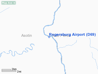
Location & QuickFacts
| FAA Information Effective: | 2008-09-25 |
| Airport Identifier: | D69 |
| Airport Status: | Operational |
| Longitude/Latitude: | 116-57-58.0000W/46-04-28.0000N
-116.966111/46.074444 (Estimated) |
| Elevation: | 869 ft / 264.87 m (Estimated) |
| Land: | 0 acres |
| From nearest city: | 8 nautical miles SE of Anatone, WA |
| Location: | Asotin County, WA |
| Magnetic Variation: | () |
Owner & Manager
| Ownership: | Publicly owned |
| Owner: | Wash State Aviation Div |
| Address: | 3704 172nd Street Ne, Suite K2, P.o. Box 3367
Arlington, WA 98223-6336 |
| Phone number: | 360-651-6300 |
| Manager: | Stanley Allison |
| Address: | 3704 172nd Street Ne, Suite K2, P.o. Box 3367
Arlington, WA 98223-6336 |
| Phone number: | 360-651-6300 |
Airport Operations and Facilities
| Airport Use: | Open to public |
| Segmented Circle: | No |
| Control Tower: | No |
| Sectional chart: | Great Falls |
| Region: | ANM - Northwest Mountain |
| Boundary ARTCC: | ZSE - Seattle |
| Tie-in FSS: | SEA - Seattle |
| FSS Toll Free: | 1-800-WX-BRIEF |
Airport Communications
Runway Information
Runway 09/27
| Dimension: | 1471 x 50 ft / 448.4 x 15.2 m |
| Surface: | TURF, |
| |
Runway 09 |
Runway 27 |
| Traffic Pattern: | Left | Left |
|
Radio Navigation Aids
| ID |
Type |
Name |
Ch |
Freq |
Var |
Dist |
| GVV | NDB | Grain | | 280.00 | 18E | 32.1 nm |
| MQG | VOR/DME | Nez Perce | 019X | 108.20 | 20E | 18.9 nm |
| PUW | VOR/DME | Pullman | 027X | 109.00 | 20E | 37.6 nm |
Remarks
- BE ALERT FOR HORSES, DEER, & ELK ON RY.
Images and information placed above are from
http://www.airport-data.com/airport/D69/
We thank them for the data!
|
|


