 |
|
Location & QuickFacts
| FAA Information Effective: | 2008-09-25 |
| Airport Identifier: | 2WA0 |
| Airport Status: | Operational |
| Longitude/Latitude: | 121-38-08.3500W/47-08-41.3870N
-121.635653/47.144830 (Estimated) |
| Elevation: | 1780 ft / 542.54 m (Estimated) |
| Land: | 1 acres |
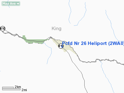
| From nearest city: | 1 nautical miles NW of Greenwater, WA |
| Location: | Pierce County, WA |
| Magnetic Variation: | 20E (1995) |
Owner & Manager
| Ownership: | Publicly owned |
| Owner: | Pierce County Fire Dist Nr 26 |
| Address: | 59705 Sr 410 E
Greenwater, WA 98022 |
| Phone number: | 360-663-2522 |
| Manager: | Kenneth Loop |
| Address: | 59705 Sr 410 E
Greenwater, WA 98022 |
| Phone number: | 360-663-2522 |
Airport Operations and Facilities
| Airport Use: | Private
MEDICAL SERVICES EVACUATION & TRAINING. |
| Segmented Circle: | No |
| Control Tower: | No |
| Lighting Schedule: | PHONE REQ
FOR PERIMETER LGTS CALL 206-663-2522. |
| Sectional chart: | Seattle |
| Region: | ANM - Northwest Mountain |
| Boundary ARTCC: | ZSE - Seattle |
| Tie-in FSS: | SEA - Seattle |
| FSS on Airport: | No |
| FSS Toll Free: | 1-800-WX-BRIEF |
Runway Information
Helipad H1
| Dimension: | 30 x 30 ft / 9.1 x 9.1 m |
| Surface: | CONC, Good Condition |
| |
Runway H1 |
Runway |
| Traffic Pattern: | Left | Left |
|
Radio Navigation Aids
| ID |
Type |
Name |
Ch |
Freq |
Var |
Dist |
| ODD | NDB | Dondo | | 224.00 | 19E | 30.5 nm |
| RNT | NDB | Renton | | 353.00 | 20E | 31.6 nm |
| LAC | NDB | Lacomas | | 328.00 | 18E | 38.6 nm |
| GR | NDB | Graye | | 216.00 | 18E | 39.6 nm |
| SEA | VORTAC | Seattle | 115X | 116.80 | 19E | 32.6 nm |
| TCM | VORTAC | Mcchord | 033X | 109.60 | 22E | 34.3 nm |
| ELN | VORTAC | Ellensburg | 126X | 117.90 | 21E | 48.7 nm |
| SEA | VOT | Seattle-tacoma | | 117.50 | | 32.6 nm |
| BFI | VOT | Boeing Field | | 108.60 | | 35.6 nm |
Images and information placed above are from
http://www.airport-data.com/airport/2WA0/
We thank them for the data!
| General Info
|
| Country |
United States
|
| State |
WASHINGTON
|
| FAA ID |
2WA0
|
| Latitude |
47-08-41.387N
|
| Longitude |
121-38-08.350W
|
| Elevation |
1780 feet
|
| Near City |
GREENWATER
|
We don't guarantee the information is fresh and accurate. The data may
be wrong or outdated.
For more up-to-date information please refer to other sources.
|
|


