 |
|
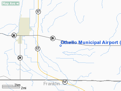
Location & QuickFacts
| FAA Information Effective: | 2008-09-25 |
| Airport Identifier: | S70 |
| Airport Status: | Operational |
| Longitude/Latitude: | 119-04-45.1875W/46-47-41.5014N
-119.079219/46.794862 (Estimated) |
| Elevation: | 1139 ft / 347.17 m (Surveyed) |
| Land: | 110 acres |
| From nearest city: | 4 nautical miles SE of Othello, WA |
| Location: | Adams County, WA |
| Magnetic Variation: | 19E (1985) |
Owner & Manager
| Ownership: | Publicly owned |
| Owner: | Port Of Othello |
| Address: | 455 East Hemlock
Othello, WA 99344 |
| Phone number: | 509-488-2544 |
| Manager: | Maxine Taylor |
| Address: | 1651 W Bench Road,
Othello, WA 99344 |
| Phone number: | 509-488-2544 |
Airport Operations and Facilities
| Airport Use: | Open to public |
| Wind indicator: | Yes |
| Segmented Circle: | No |
| Control Tower: | No |
| Lighting Schedule: | DUSK-DAWN
ACTVT MIRL RY 07/25 & PAPI RY 25 - CTAF. REIL RY 25 OPERS 24 HRS. |
| Beacon Color: | Clear-Green (lighted land airport) |
| Landing fee charge: | No |
| Sectional chart: | Seattle |
| Region: | ANM - Northwest Mountain |
| Boundary ARTCC: | ZSE - Seattle |
| Tie-in FSS: | SEA - Seattle |
| FSS on Airport: | No |
| FSS Toll Free: | 1-800-WX-BRIEF |
| NOTAMs Facility: | SEA (NOTAM-d service avaliable) |
| Federal Agreements: | N |
Airport Communications
Airport Services
| Fuel available: | 100LLA
FOR FUEL AFTER HOURS CALL 509-488-2544 |
| Airframe Repair: | NONE |
| Power Plant Repair: | NONE |
| Bottled Oxygen: | NONE |
| Bulk Oxygen: | NONE |
Runway Information
Runway 07/25
| Dimension: | 3564 x 45 ft / 1086.3 x 13.7 m |
| Surface: | ASPH, Good Condition |
| Edge Lights: | Medium |
| |
Runway 07 |
Runway 25 |
| Longitude: | 119-05-10.7875W | 119-04-19.5860W |
| Latitude: | 46-47-41.9022N | 46-47-41.0999N |
| Elevation: | 1139.00 ft | 1149.00 ft |
| Traffic Pattern: | Left | Left |
| Markings: | Basic, Good Condition | Basic, Good Condition |
| VASI: | | 2-light PAPI on right side |
| Runway End Identifier: | | Yes |
| Obstruction: | , 50:1 slope to clear | 16 ft road, 202.0 ft from runway, 76 ft left of centerline
-2 FT DITCH 0-200 FT FROM THLD 65 FT L; +2 FT ROAD 0-200 FT FROM THLD 67 FT L. |
|
Radio Navigation Aids
| ID |
Type |
Name |
Ch |
Freq |
Var |
Dist |
| MW | NDB | Pelly | | 408.00 | 18E | 20.9 nm |
| MWH | VOR/DME | Moses Lake | 097X | 115.00 | 18E | 26.8 nm |
| PSC | VOR/DME | Pasco | 021X | 108.40 | 20E | 32.0 nm |
| EPH | VORTAC | Ephrata | 073X | 112.60 | 21E | 37.8 nm |
Remarks
- RWY ROLLING PROFILE; RWY 07; 4' DROP OFF AT THR; 4' DROP OFF 50' N OF RWY CL; 4' DITCH 50' S OF RY CL.
- FARM MACHINERY PARKED IN PRIM SFC S OF CNTRLN.
- RWY 07 BERM BOTH SIDES RWY.
Images and information placed above are from
http://www.airport-data.com/airport/S70/
We thank them for the data!
| General Info
|
| Country |
United States
|
| State |
WASHINGTON
|
| FAA ID |
S70
|
| Latitude |
46-47-41.506N
|
| Longitude |
119-04-49.035W
|
| Elevation |
1145 feet
|
| Near City |
OTHELLO
|
We don't guarantee the information is fresh and accurate. The data may
be wrong or outdated.
For more up-to-date information please refer to other sources.
|
|


