 |
|
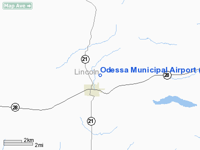
Location & QuickFacts
| FAA Information Effective: | 2008-09-25 |
| Airport Identifier: | 43D |
| Airport Status: | Operational |
| Longitude/Latitude: | 118-40-38.0440W/47-20-51.2480N
-118.677234/47.347569 (Estimated) |
| Elevation: | 1737 ft / 529.44 m (Estimated) |
| Land: | 80 acres |
| From nearest city: | 1 nautical miles N of Odessa, WA |
| Location: | Lincoln County, WA |
| Magnetic Variation: | 19E (1985) |
Owner & Manager
| Ownership: | Publicly owned |
| Owner: | City Of Odessa |
| Address: | Po Box 218
Odessa, WA 99159 |
| Phone number: | 509-982-2401 |
| Manager: | Don Smith |
| Address: | Po Box 541
Odessa, WA 99159 |
| Phone number: | 509-982-2304 |
Airport Operations and Facilities
| Airport Use: | Open to public |
| Wind indicator: | Yes |
| Segmented Circle: | No |
| Control Tower: | No |
| Lighting Schedule: | RDO-CTL
ACTVT ROTG BCN - 122.8. |
| Beacon Color: | Clear-Green (lighted land airport) |
| Landing fee charge: | No |
| Sectional chart: | Seattle |
| Region: | ANM - Northwest Mountain |
| Boundary ARTCC: | ZSE - Seattle |
| Tie-in FSS: | SEA - Seattle |
| FSS on Airport: | No |
| FSS Toll Free: | 1-800-WX-BRIEF |
| NOTAMs Facility: | SEA (NOTAM-d service avaliable) |
| Federal Agreements: | N |
Airport Communications
Airport Services
| Airframe Repair: | NONE |
| Power Plant Repair: | NONE |
| Bottled Oxygen: | NONE |
| Bulk Oxygen: | NONE |
Runway Information
Runway 02/20
| Dimension: | 3125 x 60 ft / 952.5 x 18.3 m |
| Surface: | ASPH, Good Condition |
| Weight Limit: | Single wheel: 5000 lbs. |
| Edge Lights: | Medium |
| |
Runway 02 |
Runway 20 |
| Traffic Pattern: | Left | Left |
| Markings: | Basic, | Basic, |
| VASI: | 2-light PAPI on left side | 2-light PAPI on left side |
| Obstruction: | , 50:1 slope to clear | 3 ft brush, 224.0 ft from runway, 70 ft right of centerline, 8:1 slope to clear
GRAVEL RD AT 157 FT & 5 FT FENCE AT 194 FT FM RWY THR. |
|
Radio Navigation Aids
| ID |
Type |
Name |
Ch |
Freq |
Var |
Dist |
| MW | NDB | Pelly | | 408.00 | 18E | 28.1 nm |
| SKA | TACAN | Fairchild | 051X | | 19E | 44.2 nm |
| MWH | VOR/DME | Moses Lake | 097X | 115.00 | 18E | 27.3 nm |
| EPH | VORTAC | Ephrata | 073X | 112.60 | 21E | 30.5 nm |
| GEG | VORTAC | Spokane | 102X | 115.50 | 21E | 44.6 nm |
| GEG | VOT | Spokane Intl | | 109.60 | | 49.0 nm |
Remarks
Images and information placed above are from
http://www.airport-data.com/airport/43D/
We thank them for the data!
| General Info
|
| Country |
United States
|
| State |
WASHINGTON
|
| FAA ID |
43D
|
| Latitude |
47-21-29.529N
|
| Longitude |
118-40-23.975W
|
| Elevation |
1725 feet
|
| Near City |
ODESSA
|
We don't guarantee the information is fresh and accurate. The data may
be wrong or outdated.
For more up-to-date information please refer to other sources.
|
|


