 |
|
Location & QuickFacts
| FAA Information Effective: | 2008-09-25 |
| Airport Identifier: | 7WA7 |
| Airport Status: | Operational |
| Longitude/Latitude: | 119-37-04.1060W/46-19-14.4810N
-119.617807/46.320689 (Estimated) |
| Elevation: | 1356 ft / 413.31 m (Surveyed) |
| Land: | 0 acres |
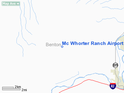
| From nearest city: | 10 nautical miles NE of Prosser, WA |
| Location: | Benton County, WA |
| Magnetic Variation: | 19E (1985) |
Owner & Manager
| Ownership: | Privately owned |
| Owner: | R. J. Mc Whorter |
| Address: | Route 2, Box 2457
Prosser, WA 99350 |
| Phone number: | 509-973-2297 |
| Manager: | R. J. Mc Whorter |
| Address: | Route 2, Box 2457
Prosser, WA 99350 |
| Phone number: | 509-973-2297 |
Airport Operations and Facilities
| Airport Use: | Private |
| Wind indicator: | Yes |
| Segmented Circle: | No |
| Control Tower: | No |
| Lighting Schedule: | PHONE REQ
FOR RWY LGTS CALL 509-973-2297. |
| Landing fee charge: | No |
| Sectional chart: | Seattle |
| Region: | ANM - Northwest Mountain |
| Boundary ARTCC: | ZSE - Seattle |
| Tie-in FSS: | SEA - Seattle |
| FSS on Airport: | No |
| FSS Toll Free: | 1-800-WX-BRIEF |
Airport Services
| Fuel available: | 100 80 |
| Airframe Repair: | NONE |
| Power Plant Repair: | NONE |
Runway Information
Runway 05/23
| Dimension: | 2300 x 40 ft / 701.0 x 12.2 m |
| Surface: | GRVL, |
| Edge Lights: | Low |
| |
Runway 05 |
Runway 23 |
| Traffic Pattern: | Left | Left |
| Obstruction: | 5 ft fence, 50.0 ft from runway | |
|
Radio Navigation Aids
| ID |
Type |
Name |
Ch |
Freq |
Var |
Dist |
| MW | NDB | Pelly | | 408.00 | 18E | 49.8 nm |
| PSC | VOR/DME | Pasco | 021X | 108.40 | 20E | 21.1 nm |
| YKM | VORTAC | Yakima | 107X | 116.00 | 21E | 37.4 nm |
| PDT | VORTAC | Pendleton | 094X | 114.70 | 20E | 46.9 nm |
Remarks
- ESTABLISHED PRIOR TO 1959.
Images and information placed above are from
http://www.airport-data.com/airport/7WA7/
We thank them for the data!
| General Info
|
| Country |
United States
|
| State |
WASHINGTON
|
| FAA ID |
7WA7
|
| Latitude |
46-19-14.481N
|
| Longitude |
119-37-04.106W
|
| Elevation |
1356 feet
|
| Near City |
PROSSER
|
We don't guarantee the information is fresh and accurate. The data may
be wrong or outdated.
For more up-to-date information please refer to other sources.
|
|


