 |
|
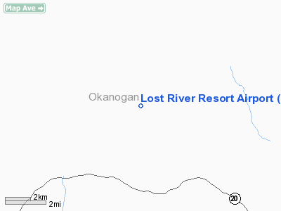
Lost River Resort Airport |
Location & QuickFacts
| FAA Information Effective: | 2008-09-25 |
| Airport Identifier: | W12 |
| Airport Status: | Operational |
| Longitude/Latitude: | 120-30-07.3600W/48-38-58.5030N
-120.502044/48.649584 (Estimated) |
| Elevation: | 2415 ft / 736.09 m (Estimated) |
| Land: | 10 acres |
| From nearest city: | 5 nautical miles NW of Mazama, WA |
| Location: | Okanogan County, WA |
| Magnetic Variation: | 21E (1985) |
Owner & Manager
| Ownership: | Privately owned |
| Owner: | Lost River Arpt Assoc |
| Address: | 16 Mercer Road
Mazama, WA 98833 |
| Phone number: | 509-996-8144 |
| Manager: | Rudy Peterson |
| Address: | 11 Susan Road
Mazama, WA 98833 |
| Phone number: | 509-996-2385 |
Airport Operations and Facilities
| Airport Use: | Open to public |
| Wind indicator: | Yes |
| Segmented Circle: | No |
| Control Tower: | No |
| Landing fee charge: | No |
| Sectional chart: | Seattle |
| Region: | ANM - Northwest Mountain |
| Boundary ARTCC: | ZSE - Seattle |
| Tie-in FSS: | SEA - Seattle |
| FSS on Airport: | No |
| FSS Toll Free: | 1-800-WX-BRIEF |
| NOTAMs Facility: | SEA (NOTAM-d service avaliable) |
Airport Communications
Airport Services
| Airframe Repair: | NONE |
| Power Plant Repair: | NONE |
| Bottled Oxygen: | NONE |
| Bulk Oxygen: | NONE |
Runway Information
Runway 11/29
| Dimension: | 3150 x 85 ft / 960.1 x 25.9 m |
| Surface: | TURF-GRVL, Fair Condition |
| |
Runway 11 |
Runway 29 |
| Traffic Pattern: | Right | Left |
| Obstruction: | 30 ft road
11/29 +60 FT TREES IN PRIMARY SFC BOTH SIDES RY. | 30 ft road, 0.0 ft from runway |
|
Radio Navigation Aids
| ID |
Type |
Name |
Ch |
Freq |
Var |
Dist |
| OMK | NDB | Omak | | 219.00 | 19E | 40.9 nm |
| DC | NDB | Princeton | | 326.00 | 21E | 49.3 nm |
| YDC | VORTAC | Princeton | 086X | 113.90 | 21E | 44.3 nm |
Remarks
- ARPT CLSD 1 NOV THRU 1 APR.
- CAUTION: WATCH FOR VEHICLES ON RWY.
- ACCESS ROADS BOTH SIDE OF RWY IN PRIM SFC, VEHICLES CROSS RWY AT VARIOUS LOCATIONS, PRIMARILY AT RWY ENDS & ROAD CROSSING 450' WEST OF THR RWY 29.
- FILED FOR RECORD KEEPING PURPOSES ONLY.
Images and information placed above are from
http://www.airport-data.com/airport/W12/
We thank them for the data!
| General Info
|
| Country |
United States
|
| State |
WASHINGTON
|
| FAA ID |
W12
|
| Latitude |
48-38-58.503N
|
| Longitude |
120-30-07.360W
|
| Elevation |
2415 feet
|
| Near City |
MAZAMA
|
We don't guarantee the information is fresh and accurate. The data may
be wrong or outdated.
For more up-to-date information please refer to other sources.
|
|


