 |
|
Location & QuickFacts
| FAA Information Effective: | 2008-09-25 |
| Airport Identifier: | 2WA8 |
| Airport Status: | Operational |
| Longitude/Latitude: | 118-17-48.0000W/47-22-54.0000N
-118.296667/47.381667 (Estimated) |
| Elevation: | 2181 ft / 664.77 m (Estimated) |
| Land: | 0 acres |
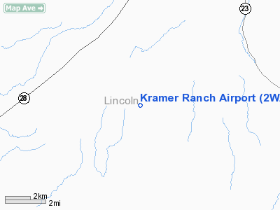
| From nearest city: | 6 nautical miles SW of Harrington, WA |
| Location: | Lincoln County, WA |
| Magnetic Variation: | 19E (1985) |
Owner & Manager
| Ownership: | Privately owned |
| Owner: | R A Kramer |
| Address: | Box 127
Harrington, WA 99134-0127 |
| Phone number: | 509-253-4658 |
| Address: |
|
Airport Operations and Facilities
| Airport Use: | Private |
| Wind indicator: | Yes |
| Segmented Circle: | No |
| Control Tower: | No |
| Lighting Schedule: | DUSK-DAWN |
| Landing fee charge: | No |
| Sectional chart: | Seattle |
| Region: | ANM - Northwest Mountain |
| Boundary ARTCC: | ZSE - Seattle |
| Tie-in FSS: | SEA - Seattle |
| FSS on Airport: | No |
| FSS Toll Free: | 1-800-WX-BRIEF |
Airport Services
| Airframe Repair: | NONE |
| Power Plant Repair: | NONE |
Runway Information
Runway 02/20
| Dimension: | 3000 x 60 ft / 914.4 x 18.3 m |
| Surface: | GRAVEL, |
| Edge Lights: | Low |
| |
Runway 02 |
Runway 20 |
| Traffic Pattern: | Left | Left |
|
Radio Navigation Aids
| ID |
Type |
Name |
Ch |
Freq |
Var |
Dist |
| MW | NDB | Pelly | | 408.00 | 18E | 43.0 nm |
| SFF | NDB | Felts | | 365.00 | 19E | 44.0 nm |
| DPY | NDB | Deer Park | | 216.00 | 19E | 49.8 nm |
| SKA | TACAN | Fairchild | 051X | | 19E | 29.2 nm |
| MWH | VOR/DME | Moses Lake | 097X | 115.00 | 18E | 42.8 nm |
| GEG | VORTAC | Spokane | 102X | 115.50 | 21E | 29.4 nm |
| EPH | VORTAC | Ephrata | 073X | 112.60 | 21E | 45.9 nm |
| GEG | VOT | Spokane Intl | | 109.60 | | 34.0 nm |
| SFF | VOT | Spokane/felts Field | | 114.00 | | 43.5 nm |
Images and information placed above are from
http://www.airport-data.com/airport/2WA8/
We thank them for the data!
| General Info
|
| Country |
United States
|
| State |
WASHINGTON
|
| FAA ID |
2WA8
|
| Latitude |
47-22-54.000N
|
| Longitude |
118-17-48.000W
|
| Elevation |
2181 feet
|
| Near City |
HARRINGTON
|
We don't guarantee the information is fresh and accurate. The data may
be wrong or outdated.
For more up-to-date information please refer to other sources.
|
|


