 |
|
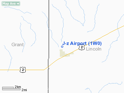
Location & QuickFacts
| FAA Information Effective: | 2008-09-25 |
| Airport Identifier: | 1W0 |
| Airport Status: | Operational |
| Longitude/Latitude: | 118-56-34.0470W/47-43-19.5360N
-118.942791/47.722093 (Estimated) |
| Elevation: | 1950 ft / 594.36 m (Estimated) |
| Land: | 15 acres |
| From nearest city: | 1 nautical miles N of Almira, WA |
| Location: | Lincoln County, WA |
| Magnetic Variation: | 20E (1985) |
Owner & Manager
| Ownership: | Publicly owned |
| Owner: | Town Of Almira |
| Address: | Po Box 215
Almira, WA 99103 |
| Phone number: | 509-639-2601 |
| Manager: | Einar Larson, Mayor |
| Address: | 19 N 3rd
Almira, WA 99103 |
| Phone number: | 509-639-2601 |
Airport Operations and Facilities
| Airport Use: | Open to public |
| Wind indicator: | Yes |
| Segmented Circle: | No |
| Control Tower: | No |
| Landing fee charge: | No |
| Sectional chart: | Seattle |
| Region: | ANM - Northwest Mountain |
| Boundary ARTCC: | ZSE - Seattle |
| Tie-in FSS: | SEA - Seattle |
| FSS on Airport: | No |
| FSS Toll Free: | 1-800-WX-BRIEF |
| NOTAMs Facility: | SEA (NOTAM-d service avaliable) |
Airport Communications
Airport Services
| Airframe Repair: | NONE |
| Power Plant Repair: | NONE |
| Bottled Oxygen: | NONE |
| Bulk Oxygen: | NONE |
Runway Information
Runway 16/34
| Dimension: | 1900 x 48 ft / 579.1 x 14.6 m |
| Surface: | TURF-GRVL, Poor Condition
CENTER PORTION OF RY ROUGH; SOME PLACES 12 FT TO 25 FT ROUGH; CENTER SECTION HAS SUNKEN AS MUCH AS 6 IN BLO SURROUNDING RY SFC. |
| |
Runway 16 |
Runway 34 |
| Traffic Pattern: | Left | Left |
| Obstruction: | 4 ft fence, 82.0 ft from runway, 20:1 slope to clear | 4 ft brush, 80.0 ft from runway, 20:1 slope to clear |
|
Radio Navigation Aids
| ID |
Type |
Name |
Ch |
Freq |
Var |
Dist |
| MW | NDB | Pelly | | 408.00 | 18E | 38.9 nm |
| OMK | NDB | Omak | | 219.00 | 19E | 49.6 nm |
| MWH | VOR/DME | Moses Lake | 097X | 115.00 | 18E | 34.3 nm |
| EPH | VORTAC | Ephrata | 073X | 112.60 | 21E | 28.4 nm |
Remarks
- 100 FT & 250 FT GRAIN BINS EITHER SIDE OF APCH TO RY 34 AT 1000 FT - 2000 FT.
- ARPT OPEN & MAINTAINED APR-OCT.
- ESTABD PRIOR TO 15 MAY 1959.
Images and information placed above are from
http://www.airport-data.com/airport/1W0/
We thank them for the data!
| General Info
|
| Country |
United States
|
| State |
WASHINGTON
|
| FAA ID |
1W0
|
| Latitude |
47-43-19.536N
|
| Longitude |
118-56-34.047W
|
| Elevation |
1950 feet
|
| Near City |
ALMIRA
|
We don't guarantee the information is fresh and accurate. The data may
be wrong or outdated.
For more up-to-date information please refer to other sources.
|
|


