 |
|
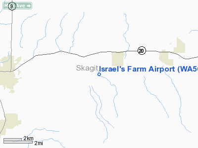
Location & QuickFacts
| FAA Information Effective: | 2008-09-25 |
| Airport Identifier: | WA56 |
| Airport Status: | Operational |
| Longitude/Latitude: | 122-05-29.5000W/48-30-27.4000N
-122.091528/48.507611 (Estimated) |
| Elevation: | 65 ft / 19.81 m (Estimated) |
| Land: | 38 acres |
| From nearest city: | 7 nautical miles E of Sedro Woolley, WA |
| Location: | Skagit County, WA |
| Magnetic Variation: | 20E (1990) |
Owner & Manager
| Ownership: | Privately owned |
| Owner: | Marlin L. Israel |
| Address: | 5017 35th Ave. Sw
Seattle, WA 98126 |
| Phone number: | 206-935-3027 |
| Manager: | Marlin L. Israel |
| Address: | 5017 35th Ave. Sw
Seattle, WA 98126 |
| Phone number: | 206-935-3027 |
Airport Operations and Facilities
| Airport Use: | Private |
| Segmented Circle: | No |
| Control Tower: | No |
| Sectional chart: | Seattle |
| Region: | ANM - Northwest Mountain |
| Boundary ARTCC: | ZSE - Seattle |
| Tie-in FSS: | SEA - Seattle |
| FSS on Airport: | No |
| FSS Toll Free: | 1-800-WX-BRIEF |
Runway Information
Runway 01/19
| Dimension: | 1900 x 50 ft / 579.1 x 15.2 m |
| Surface: | TURF, |
| |
Runway 01 |
Runway 19 |
| Traffic Pattern: | Left | Right |
|
Radio Navigation Aids
| ID |
Type |
Name |
Ch |
Freq |
Var |
Dist |
| BVS | NDB | Skagit/bay View | | 240.00 | 21E | 13.2 nm |
| LU | NDB | Cultus | | 214.00 | 22E | 30.9 nm |
| OPZ | NDB | Lopez Island | | 356.00 | 21E | 33.1 nm |
| XX | NDB | Abbotsford | | 344.00 | 21E | 34.3 nm |
| FHR | NDB | Friday Harbor | | 284.00 | 20E | 37.3 nm |
| WC | NDB | White Rock | | 332.00 | 21E | 39.2 nm |
| NUW | TACAN | Whidbey Island | 085X | | 21E | 24.5 nm |
| CVV | VOR/DME | Penn Cove | 119X | 117.20 | 19E | 29.8 nm |
| PAE | VOR/DME | Paine | 043X | 110.60 | 20E | 36.1 nm |
| HUH | VORTAC | Whatcom | 077X | 113.00 | 20E | 32.7 nm |
Images and information placed above are from
http://www.airport-data.com/airport/WA56/
We thank them for the data!
| General Info
|
| Country |
United States
|
| State |
WASHINGTON
|
| FAA ID |
WA56
|
| Latitude |
48-30-27.400N
|
| Longitude |
122-05-29.500W
|
| Elevation |
65 feet
|
| Near City |
SEDRO WOOLLEY
|
We don't guarantee the information is fresh and accurate. The data may
be wrong or outdated.
For more up-to-date information please refer to other sources.
|
|


