 |
|
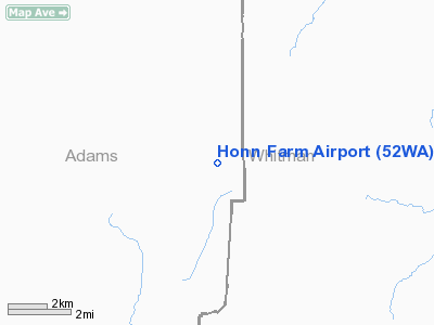
Location & QuickFacts
| FAA Information Effective: | 2008-09-25 |
| Airport Identifier: | 52WA |
| Airport Status: | Operational |
| Longitude/Latitude: | 117-58-33.8070W/46-55-55.5600N
-117.976057/46.932100 (Estimated) |
| Elevation: | 1620 ft / 493.78 m (Estimated) |
| Land: | 0 acres |
| From nearest city: | 7 nautical miles E of Benge, WA |
| Location: | Adams County, WA |
| Magnetic Variation: | 19E (1985) |
Owner & Manager
| Ownership: | Privately owned |
| Owner: | Floyd C. Honn |
| Address: | Rt 1, Box 89
Endicott, WA 99125 |
| Address: |
|
Airport Operations and Facilities
| Airport Use: | Private |
| Wind indicator: | Yes |
| Segmented Circle: | No |
| Control Tower: | No |
| Landing fee charge: | No |
| Sectional chart: | Seattle |
| Region: | ANM - Northwest Mountain |
| Boundary ARTCC: | ZSE - Seattle |
| Tie-in FSS: | SEA - Seattle |
| FSS on Airport: | No |
| FSS Toll Free: | 1-800-WX-BRIEF |
Runway Information
Runway 03/21
| Dimension: | 2400 x 25 ft / 731.5 x 7.6 m |
| Surface: | GRAVEL, |
| |
Runway 03 |
Runway 21 |
| Traffic Pattern: | Left | Left |
|
Radio Navigation Aids
| ID |
Type |
Name |
Ch |
Freq |
Var |
Dist |
| SKA | TACAN | Fairchild | 051X | | 19E | 42.7 nm |
| PUW | VOR/DME | Pullman | 027X | 109.00 | 20E | 34.6 nm |
| GEG | VORTAC | Spokane | 102X | 115.50 | 21E | 40.6 nm |
| GEG | VOT | Spokane Intl | | 109.60 | | 45.1 nm |
Remarks
- EXTREME TURBULENCE ON APCH & OVR RWY 03 DUE HILLS E OF RWY.
- ESTABD PRIOR TO 1959.
Images and information placed above are from
http://www.airport-data.com/airport/52WA/
We thank them for the data!
| General Info
|
| Country |
United States
|
| State |
WASHINGTON
|
| FAA ID |
52WA
|
| Latitude |
46-55-55.560N
|
| Longitude |
117-58-33.807W
|
| Elevation |
1620 feet
|
| Near City |
BENGE
|
We don't guarantee the information is fresh and accurate. The data may
be wrong or outdated.
For more up-to-date information please refer to other sources.
|
|


