 |
|
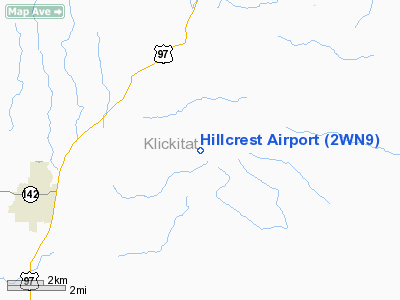
Location & QuickFacts
| FAA Information Effective: | 2008-09-25 |
| Airport Identifier: | 2WN9 |
| Airport Status: | Operational |
| Longitude/Latitude: | 120-42-03.2190W/45-50-42.4490N
-120.700894/45.845125 (Estimated) |
| Elevation: | 2405 ft / 733.04 m (Estimated) |
| Land: | 150 acres |
| From nearest city: | 5 nautical miles NE of Goldendale, WA |
| Location: | Klickitat County, WA |
| Magnetic Variation: | 19E (1985) |
Owner & Manager
| Ownership: | Privately owned |
| Owner: | William Nelson |
| Address: | P.o. Box 740
Goldendale, WA 98620 |
| Phone number: | 509-773-5674 |
| Manager: | William Nelson |
| Address: | P.o. Box 740
Goldendale, WA 98620 |
| Phone number: | 509-773-5674 |
Airport Operations and Facilities
| Airport Use: | Private |
| Wind indicator: | Yes |
| Segmented Circle: | No |
| Control Tower: | No |
| Sectional chart: | Seattle |
| Region: | ANM - Northwest Mountain |
| Boundary ARTCC: | ZSE - Seattle |
| Tie-in FSS: | SEA - Seattle |
| FSS Toll Free: | 1-800-WX-BRIEF |
Airport Communications
Runway Information
Runway 07/25
| Dimension: | 2730 x 100 ft / 832.1 x 30.5 m |
| Surface: | TURF, |
| |
Runway 07 |
Runway 25 |
| Traffic Pattern: | Left | Right |
| Obstruction: | | 60 ft trees, 450.0 ft from runway, 7:1 slope to clear |
|
Radio Navigation Aids
| ID |
Type |
Name |
Ch |
Freq |
Var |
Dist |
| LTJ | VOR/DME | Klickitat | 070X | 112.30 | 21E | 18.5 nm |
| YKM | VORTAC | Yakima | 107X | 116.00 | 21E | 44.9 nm |
Remarks
- POSSIBLE DOWN DRAFT RY 07.
- WILDLIFE ON & INVOF RY.
Images and information placed above are from
http://www.airport-data.com/airport/2WN9/
We thank them for the data!
| General Info
|
| Country |
United States
|
| State |
WASHINGTON
|
| FAA ID |
2WN9
|
| Latitude |
45-50-42.449N
|
| Longitude |
120-42-03.219W
|
| Elevation |
2405 feet
|
| Near City |
GOLDENDALE
|
We don't guarantee the information is fresh and accurate. The data may
be wrong or outdated.
For more up-to-date information please refer to other sources.
|
|


