 |
|
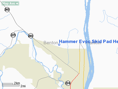
Hammer Evoc Skid Pad Heliport |
Location & QuickFacts
| FAA Information Effective: | 2008-09-25 |
| Airport Identifier: | WT02 |
| Airport Status: | Operational |
| Longitude/Latitude: | 119-20-01.0000W/46-21-29.0000N
-119.333611/46.358056 (Estimated) |
| Elevation: | 440 ft / 134.11 m (Estimated) |
| Land: | 0 acres |
| From nearest city: | 4 nautical miles SE of Richland, WA |
| Location: | Benton County, WA |
| Magnetic Variation: | () |
Owner & Manager
| Ownership: | Privately owned |
| Owner: | Us Dept Of Energy |
| Address: | 2890 Horn Rapids Rd
Richland, WA 99354 |
| Phone number: | 509-376-3112 |
| Manager: | Brad Jackson
HAMMER TRAINING CENTER |
| Address: | 2890 Horn Rapids Rd
Richland, WA 99354 |
Airport Operations and Facilities
| Airport Use: | Private |
| Wind indicator: | Yes |
| Control Tower: | No |
| Sectional chart: | Seattle |
| Region: | ANM - Northwest Mountain |
| Boundary ARTCC: | ZSE - Seattle |
| Tie-in FSS: | SEA - Seattle |
| FSS Toll Free: | 1-800-WX-BRIEF |
Runway Information
Helipad H1
| Dimension: | 54 x 54 ft / 16.5 x 16.5 m |
| Surface: | ASPH, |
| |
Runway H1 |
Runway |
| Traffic Pattern: | Left | Left |
|
Radio Navigation Aids
| ID |
Type |
Name |
Ch |
Freq |
Var |
Dist |
| MW | NDB | Pelly | | 408.00 | 18E | 45.6 nm |
| PD | NDB | Foris | | 230.00 | 20E | 47.1 nm |
| PSC | VOR/DME | Pasco | 021X | 108.40 | 20E | 10.7 nm |
| ALW | VOR/DME | Walla Walla | 111X | 116.40 | 20E | 46.3 nm |
| PDT | VORTAC | Pendleton | 094X | 114.70 | 20E | 42.9 nm |
| YKM | VORTAC | Yakima | 107X | 116.00 | 21E | 47.7 nm |
Remarks
Images and information placed above are from
http://www.airport-data.com/airport/WT02/
We thank them for the data!
|
|


