 |
|
Location & QuickFacts
| FAA Information Effective: | 2008-09-25 |
| Airport Identifier: | WA21 |
| Airport Status: | Operational |
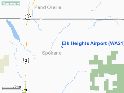
| Longitude/Latitude: | 117-15-48.0000W/48-00-07.2000N
-117.263333/48.002000 (Estimated) |
| Elevation: | 2020 ft / 615.70 m (Estimated) |
| Land: | 40 acres |
| From nearest city: | 2 nautical miles SE of Elk, WA |
| Location: | Spokane County, WA |
| Magnetic Variation: | () |
Owner & Manager
| Ownership: | Privately owned |
| Owner: | Matt & Nanine Annis |
| Address: | 38024 North Old Pine Lane, P.o. Box 333
Elk, WA 99009 |
| Phone number: | 509-292-2702 |
| Manager: | Matt & Nanine Annis |
| Address: | 38024 North Old Pine Lane, P.o. Box 333
Elk, WA 99009 |
| Phone number: | 509-292-2702 |
Airport Operations and Facilities
| Airport Use: | Private |
| Wind indicator: | Yes |
| Segmented Circle: | No |
| Control Tower: | No |
| Sectional chart: | Seattle |
| Region: | ANM - Northwest Mountain |
| Boundary ARTCC: | ZSE - Seattle |
| Tie-in FSS: | SEA - Seattle |
| FSS Toll Free: | 1-800-WX-BRIEF |
Runway Information
Runway 17/35
| Dimension: | 2000 x 50 ft / 609.6 x 15.2 m |
| Surface: | TURF, |
| |
Runway 17 |
Runway 35 |
| Traffic Pattern: | Left | Left |
| Obstruction: | 50 ft trees | 40 ft pline, 200.0 ft from runway |
|
Radio Navigation Aids
| ID |
Type |
Name |
Ch |
Freq |
Var |
Dist |
| DPY | NDB | Deer Park | | 216.00 | 19E | 6.9 nm |
| SFF | NDB | Felts | | 365.00 | 19E | 19.1 nm |
| SZT | NDB | Sandpoe | | 264.00 | 20E | 33.0 nm |
| ION | NDB | Ione | | 379.00 | 21E | 43.0 nm |
| SKA | TACAN | Fairchild | 051X | | 19E | 28.5 nm |
| COE | VOR/DME | Coeur D'alene | 025X | 108.80 | 19E | 22.5 nm |
| GEG | VORTAC | Spokane | 102X | 115.50 | 21E | 30.1 nm |
| SFF | VOT | Spokane/felts Field | | 114.00 | | 19.5 nm |
| GEG | VOT | Spokane Intl | | 109.60 | | 25.4 nm |
Images and information placed above are from
http://www.airport-data.com/airport/WA21/
We thank them for the data!
|
|


