 |
|
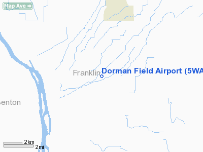
Location & QuickFacts
| FAA Information Effective: | 2008-09-25 |
| Airport Identifier: | 5WA1 |
| Airport Status: | Operational |
| Longitude/Latitude: | 119-10-46.0470W/46-31-17.4950N
-119.179458/46.521526 (Estimated) |
| Elevation: | 700 ft / 213.36 m (Estimated) |
| Land: | 0 acres |
| From nearest city: | 8 nautical miles SW of Mesa, WA |
| Location: | Franklin County, WA |
| Magnetic Variation: | 19E (1985) |
Owner & Manager
| Ownership: | Privately owned |
| Owner: | Ken Dorman |
| Address: | Box 223
Mesa, WA 99343 |
| Address: |
|
| Phone number: | 509-269-4336 |
Airport Operations and Facilities
| Airport Use: | Private |
| Wind indicator: | Yes |
| Segmented Circle: | No |
| Control Tower: | No |
| Landing fee charge: | No |
| Sectional chart: | Seattle |
| Region: | ANM - Northwest Mountain |
| Boundary ARTCC: | ZSE - Seattle |
| Tie-in FSS: | SEA - Seattle |
| FSS on Airport: | No |
| FSS Toll Free: | 1-800-WX-BRIEF |
Runway Information
Runway 03/21
| Dimension: | 1400 x 15 ft / 426.7 x 4.6 m |
| Surface: | TURF, |
| |
Runway 03 |
Runway 21 |
| Traffic Pattern: | Right | Right |
|
Radio Navigation Aids
| ID |
Type |
Name |
Ch |
Freq |
Var |
Dist |
| MW | NDB | Pelly | | 408.00 | 18E | 35.9 nm |
| PSC | VOR/DME | Pasco | 021X | 108.40 | 20E | 15.8 nm |
| MWH | VOR/DME | Moses Lake | 097X | 115.00 | 18E | 41.8 nm |
| ALW | VOR/DME | Walla Walla | 111X | 116.40 | 20E | 45.2 nm |
Images and information placed above are from
http://www.airport-data.com/airport/5WA1/
We thank them for the data!
| General Info
|
| Country |
United States
|
| State |
WASHINGTON
|
| FAA ID |
5WA1
|
| Latitude |
46-31-17.495N
|
| Longitude |
119-10-46.047W
|
| Elevation |
700 feet
|
| Near City |
MESA
|
We don't guarantee the information is fresh and accurate. The data may
be wrong or outdated.
For more up-to-date information please refer to other sources.
|
|


