 |
|
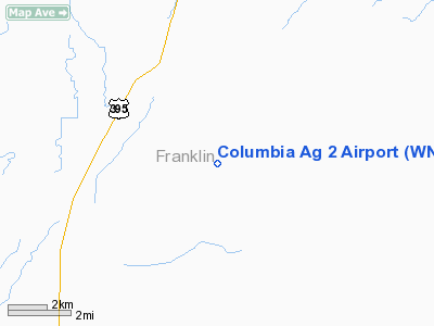
Location & QuickFacts
| FAA Information Effective: | 2008-09-25 |
| Airport Identifier: | WN33 |
| Airport Status: | Operational |
| Longitude/Latitude: | 118-59-18.0190W/46-22-49.4910N
-118.988339/46.380414 (Estimated) |
| Elevation: | 715 ft / 217.93 m (Estimated) |
| Land: | 10 acres |
| From nearest city: | 9 nautical miles NE of Pasco, WA |
| Location: | Franklin County, WA |
| Magnetic Variation: | 19E (1985) |
Owner & Manager
| Ownership: | Privately owned |
| Owner: | Columbia Aerial Ag Ser Inc |
| Address: | Bldg 73a Tri-cities Airport
Pasco, WA 99301 |
| Manager: | Richard Skupa |
| Address: | Bldg 73a Tri-cities Airport
Pasco, WA 99301 |
| Phone number: | 509-545-8826 |
Airport Operations and Facilities
| Airport Use: | Private |
| Wind indicator: | Yes |
| Segmented Circle: | No |
| Control Tower: | No |
| Landing fee charge: | No |
| Sectional chart: | Seattle |
| Region: | ANM - Northwest Mountain |
| Boundary ARTCC: | ZSE - Seattle |
| Tie-in FSS: | SEA - Seattle |
| FSS on Airport: | No |
| FSS Toll Free: | 1-800-WX-BRIEF |
Runway Information
Runway 16/34
| Dimension: | 1800 x 50 ft / 548.6 x 15.2 m |
| Surface: | GRVL, |
| |
Runway 16 |
Runway 34 |
| Traffic Pattern: | Left | Left |
|
Radio Navigation Aids
| ID |
Type |
Name |
Ch |
Freq |
Var |
Dist |
| PD | NDB | Foris | | 230.00 | 20E | 42.5 nm |
| MW | NDB | Pelly | | 408.00 | 18E | 45.7 nm |
| PSC | VOR/DME | Pasco | 021X | 108.40 | 20E | 8.8 nm |
| ALW | VOR/DME | Walla Walla | 111X | 116.40 | 20E | 33.9 nm |
| PDT | VORTAC | Pendleton | 094X | 114.70 | 20E | 41.0 nm |
Images and information placed above are from
http://www.airport-data.com/airport/WN33/
We thank them for the data!
| General Info
|
| Country |
United States
|
| State |
WASHINGTON
|
| FAA ID |
WN33
|
| Latitude |
46-22-49.491N
|
| Longitude |
118-59-18.019W
|
| Elevation |
715 feet
|
| Near City |
PASCO
|
We don't guarantee the information is fresh and accurate. The data may
be wrong or outdated.
For more up-to-date information please refer to other sources.
|
|


