|
|
 |
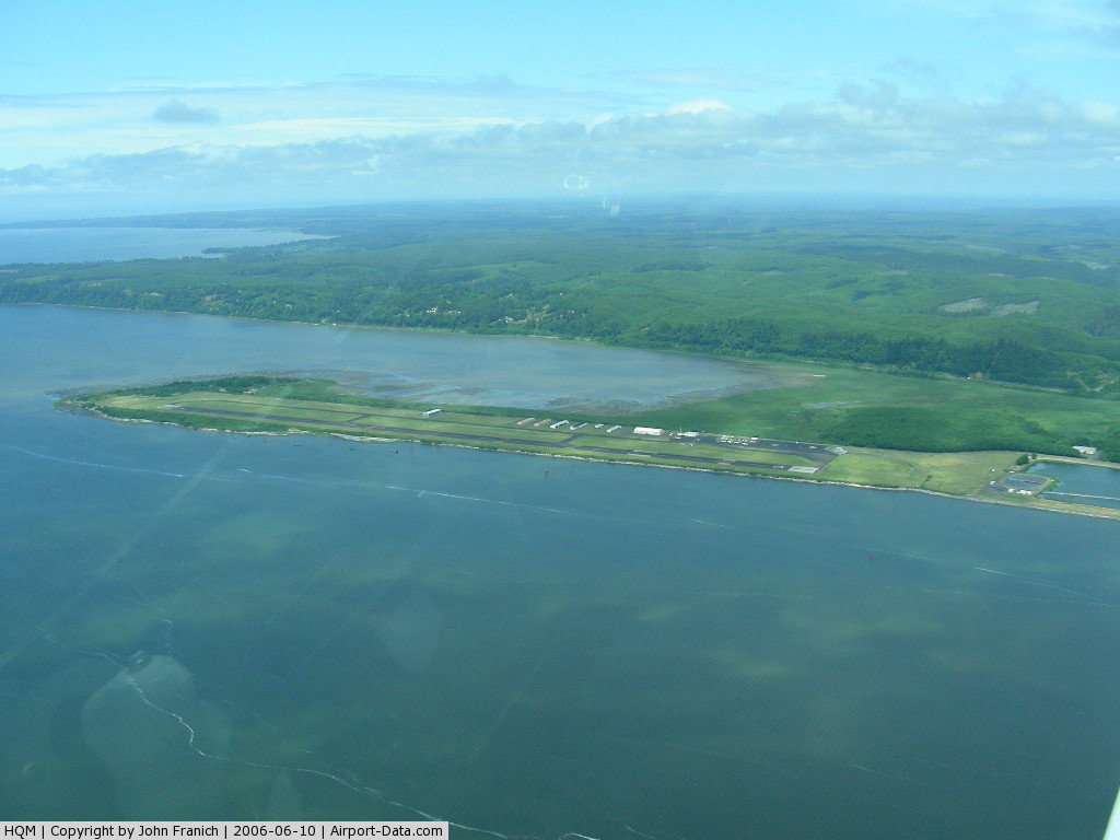
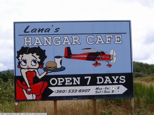
(Click on the photo to enlarge) |
 |
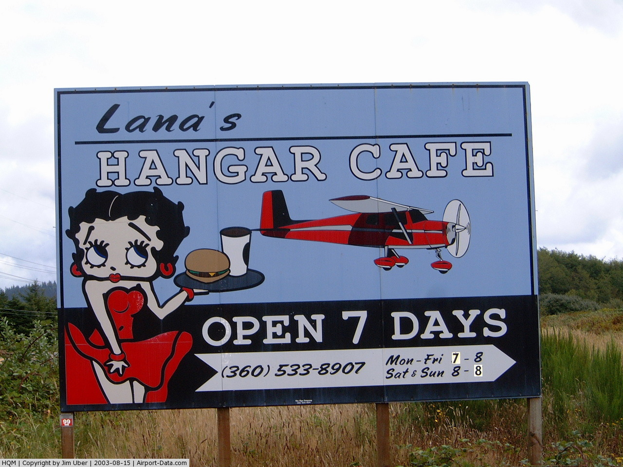
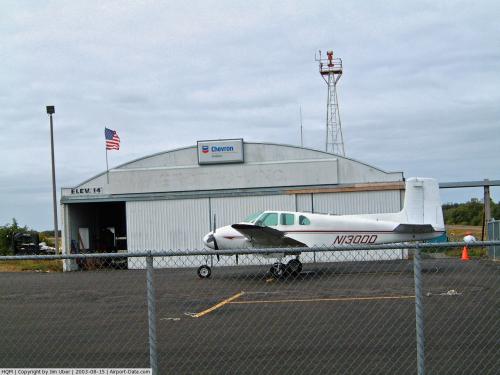
(Click on the photo to enlarge) |
 |
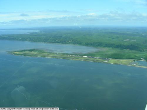
(Click on the photo to enlarge) |
Location & QuickFacts
| FAA Information Effective: | 2008-09-25 |
| Airport Identifier: | HQM |
| Airport Status: | Operational |
| Longitude/Latitude: | 123-56-11.6000W/46-58-16.3000N
-123.936556/46.971194 (Estimated) |
| Elevation: | 18 ft / 5.49 m (Surveyed) |
| Land: | 145 acres |
| From nearest city: | 2 nautical miles W of Hoquiam, WA |
| Location: | Grays Harbor County, WA |
| Magnetic Variation: | 19E (1995) |
Owner & Manager
| Ownership: | Publicly owned |
| Owner: | Port Of Grays Harbor |
| Address: | Box 660, 111 S Wooding Street
Aberdeen, WA 98520 |
| Phone number: | 360-533-9528 |
| Manager: | Diane Souron |
| Address: | Box 660, 111 S Wooding Street
Aberdeen, WA 98520 |
| Phone number: | 360-533-9528 |
Airport Operations and Facilities
| Airport Use: | Open to public |
| Wind indicator: | Yes |
| Segmented Circle: | Yes |
| Control Tower: | No |
| Lighting Schedule: | DUSK-DAWN
ACTVT HIRL RY 06/24, MALSR RY 24 & REIL RY 06 - CTAF. |
| Beacon Color: | Clear-Green (lighted land airport) |
| Landing fee charge: | No |
| Sectional chart: | Seattle |
| Region: | ANM - Northwest Mountain |
| Boundary ARTCC: | ZSE - Seattle |
| Tie-in FSS: | SEA - Seattle |
| FSS Toll Free: | 1-800-WX-BRIEF |
| NOTAMs Facility: | HQM (NOTAM-d service avaliable) |
| Federal Agreements: | NGRY3 |
Airport Communications
| CTAF: | 122.700 |
| Unicom: | 122.700 |
Airport Services
| Fuel available: | 100LL
100LL AVLB 24 HOURS A DAY WITH MAJOR CREDIT CARD. F0R JET A CALL 360-533-6655 BETWEEN 0900-1700 OR CALL 360-310-0201 BETWEEN 1700-0900. |
| Airframe Repair: | MAJOR |
| Power Plant Repair: | MAJOR |
| Bottled Oxygen: | NONE |
| Bulk Oxygen: | NONE |
Runway Information
Runway 06/24
| Dimension: | 5000 x 150 ft / 1524.0 x 45.7 m |
| Surface: | ASPH, Good Condition |
| Weight Limit: | Single wheel: 30000 lbs.
Dual wheel: 40000 lbs.
Dual tandem wheel: 80000 lbs. |
| Edge Lights: | High |
| |
Runway 06 |
Runway 24 |
| Longitude: | 123-56-47.1129W | 123-55-36.1461W |
| Latitude: | 46-58-11.9520N | 46-58-20.6603N |
| Elevation: | 18.00 ft | 15.00 ft |
| Alignment: | 79 | 127 |
| ILS Type: | | ILS/DME
|
| Traffic Pattern: | Right | Left |
| Markings: | Non-precision instrument, Fair Condition | Precision instrument, Fair Condition |
| Crossing Height: | 52.00 ft | 50.00 ft |
| VASI: | 4-box on right side | 4-box on left side |
| Visual Glide Angle: | 3.00° | 3.00° |
| Approach lights: | | MALSR |
| Runway End Identifier: | Yes | |
| Obstruction: | 36 ft tree, 713.0 ft from runway, 90 ft left of centerline, 14:1 slope to clear | , 50:1 slope to clear |
|
Radio Navigation Aids
| ID |
Type |
Name |
Ch |
Freq |
Var |
Dist |
| AST | FAN MARKER | Fort Stevens | | | 22E | 45.9 nm |
| MNC | NDB | Mason County | | 348.00 | 19E | 38.6 nm |
| AST | VOR/DME | Astoria | 087X | 114.00 | 19E | 48.7 nm |
| HQM | VORTAC | Hoquiam | 124X | 117.70 | 19E | 8.8 nm |
| OLM | VORTAC | Olympia | 081X | 113.40 | 19E | 42.4 nm |
Remarks
-
- SERVICE ROAD SOUTH OF RY IN PRIMARY SURFACE.
- ULTRALIGHTS PROHIBITED WITHOUT WRITTEN PERMISSON FROM ARPT MGR.
- ESTABD PRIOR TO 1959.
Images and information placed above are from
http://www.airport-data.com/airport/HQM/
We thank them for the data!
| General Info
|
| Country |
United States
|
| State |
WASHINGTON
|
| FAA ID |
HQM
|
| Latitude |
46-58-16.300N
|
| Longitude |
123-56-11.600W
|
| Elevation |
18 feet
|
| Near City |
HOQUIAM
|
We don't guarantee the information is fresh and accurate. The data may
be wrong or outdated.
For more up-to-date information please refer to other sources.
|
|