 |
|
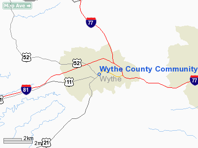
Wythe County Community Hospital Heliport |
Location & QuickFacts
| FAA Information Effective: | 2008-09-25 |
| Airport Identifier: | 22VA |
| Airport Status: | Operational |
| Longitude/Latitude: | 081-04-59.3190W/36-57-00.4300N
-81.083144/36.950119 (Estimated) |
| Elevation: | 2500 ft / 762.00 m (Estimated) |
| Land: | 0 acres |
| From nearest city: | 1 nautical miles NW of Wytheville, VA |
| Location: | Wythe County, VA |
| Magnetic Variation: | 05W (1985) |
Owner & Manager
| Ownership: | Privately owned |
| Owner: | Wythe County Community Hosp |
| Address: | 600 West Ridge Road
Wytheville, VA 24382 |
| Phone number: | 703-228-0200 |
| Manager: | H. N. Ainsley |
| Address: | 600 West Ridge Road
Wytheville, VA 24382 |
| Phone number: | 703-228-0200 |
Airport Operations and Facilities
| Airport Use: | Private
MEDICAL USE. |
| Wind indicator: | Yes |
| Segmented Circle: | No |
| Control Tower: | No |
| Lighting Schedule: | PHONE REQ
FOR HELIPAD PERIMETER LIGHTS CALL 703-228-0200. |
| Landing fee charge: | No |
| Sectional chart: | Cincinnati |
| Region: | AEA - Eastern |
| Boundary ARTCC: | ZTL - Atlanta |
| Tie-in FSS: | DCA - Leesburg |
| FSS on Airport: | No |
| FSS Toll Free: | 1-800-WX-BRIEF |
Runway Information
Helipad H1
| Dimension: | 70 x 70 ft / 21.3 x 21.3 m |
| Surface: | CONC, |
| |
Runway H1 |
Runway |
| Traffic Pattern: | Left | Left |
|
Radio Navigation Aids
| ID |
Type |
Name |
Ch |
Freq |
Var |
Dist |
| MK | NDB | Suzze | | 335.00 | 06W | 7.9 nm |
| HLX | NDB | Hillsville | | 269.00 | 06W | 16.9 nm |
| JU | NDB | Ashee | | 410.00 | 07W | 33.1 nm |
| TEC | NDB | Tech | | 368.00 | 06W | 36.1 nm |
| ZEF | NDB | Zephyr | | 326.00 | 05W | 42.0 nm |
| AZW | NDB | Mount Airy | | 223.00 | 07W | 43.1 nm |
| VJ | NDB | Whine | | 236.00 | 05W | 43.6 nm |
| JJO | NDB | Mountain City | | 396.00 | 04W | 48.0 nm |
| CNQ | NDB | Callahan | | 379.00 | 05W | 48.1 nm |
| GZG | VOR/DME | Glade Spring | 039X | 110.20 | 02W | 48.5 nm |
| PSK | VORTAC | Pulaski | 115X | 116.80 | 06W | 19.6 nm |
| BLF | VORTAC | Bluefield | 037X | 110.00 | 03W | 22.1 nm |
| BKW | VORTAC | Beckley | 124X | 117.70 | 06W | 49.9 nm |
Images and information placed above are from
http://www.airport-data.com/airport/22VA/
We thank them for the data!
| General Info
|
| Country |
United States
|
| State |
VIRGINIA
|
| FAA ID |
22VA
|
| Latitude |
36-57-00.430N
|
| Longitude |
081-04-59.319W
|
| Elevation |
2500 feet
|
| Near City |
WYTHEVILLE
|
We don't guarantee the information is fresh and accurate. The data may
be wrong or outdated.
For more up-to-date information please refer to other sources.
|
|


