|
|
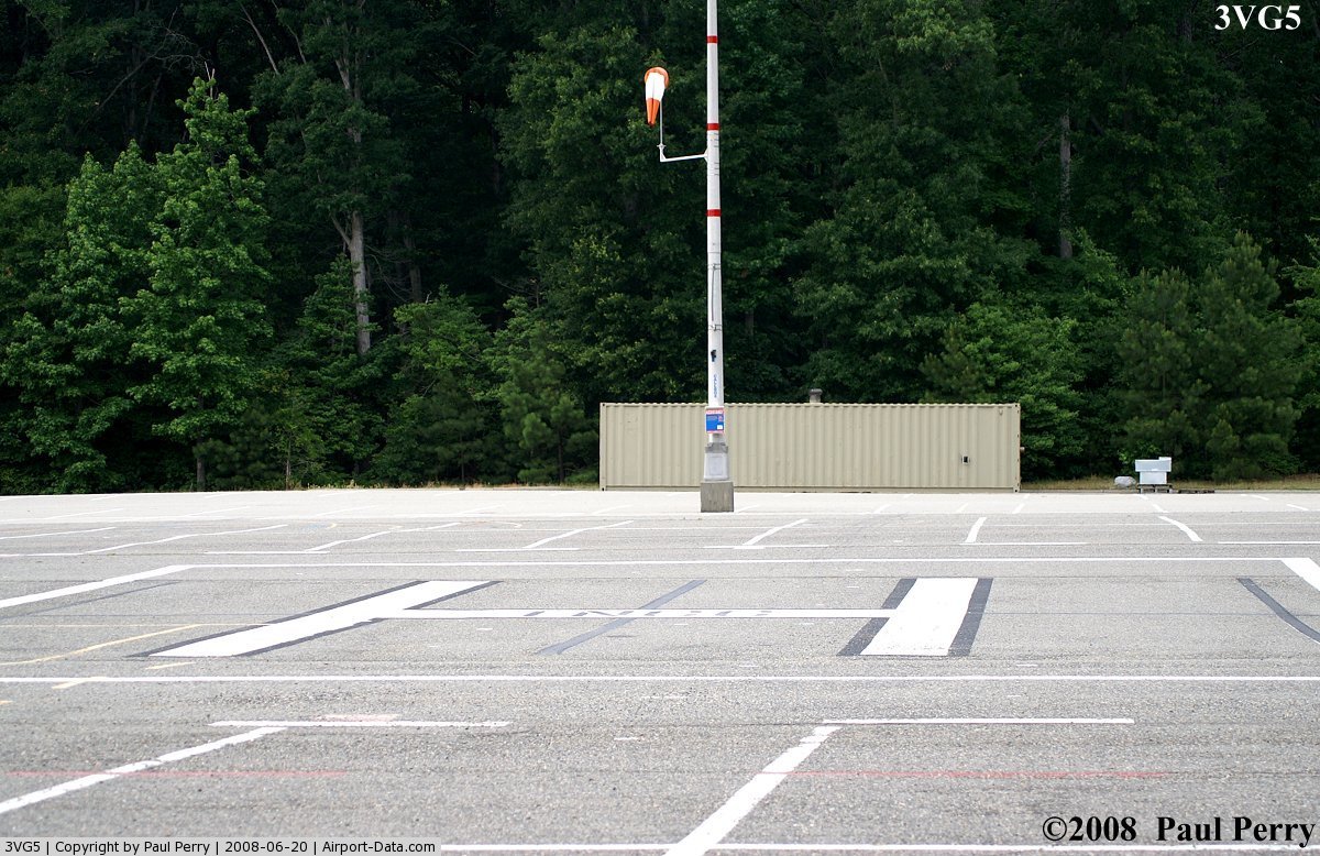
Thomas Nelson Community College Heliport |
 |
(Click on the photo to enlarge) |
Location & QuickFacts
| FAA Information Effective: | 2008-09-25 |
| Airport Identifier: | 3VG5 |
| Airport Status: | Operational |
| Longitude/Latitude: | 076-24-59.0000W/37-03-47.2000N
-76.416389/37.063111 (Estimated) |
| Elevation: | 31 ft / 9.45 m (Estimated) |
| Land: | 87 acres |
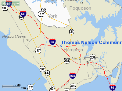
| From nearest city: | 1 nautical miles N of Hampton, VA |
| Location: | Hampton County, VA |
| Magnetic Variation: | () |
Owner & Manager
| Ownership: | Privately owned |
| Owner: | Thomas Nelson Community College |
| Address: | 99 Thomas Nelson Drive
Hampton, VA 23670 |
| Phone number: | 757-825-2717 |
| Manager: | Howard T. Taylor
VP FOR ADMINISTRATION AND FINANCE. |
| Address: | 99 Thomas Nelson Drive
Hampton, VA 23670 |
| Phone number: | 757-825-2717 |
Airport Operations and Facilities
| Airport Use: | Private |
| Control Tower: | No |
| Lighting Schedule: | DUSK-DAWN |
| Beacon Color: | Clear-Green-Yellow (heliport) |
| Sectional chart: | Washington |
| Region: | AEA - Eastern |
| Boundary ARTCC: | ZDC - Washington |
| Tie-in FSS: | DCA - Leesburg |
| FSS Toll Free: | 1-800-WX-BRIEF |
Runway Information
Helipad H1
| Dimension: | 60 x 60 ft / 18.3 x 18.3 m |
| Surface: | ASPH, |
| |
Runway H1 |
Runway |
| Traffic Pattern: | Left | Left |
|
Radio Navigation Aids
| ID |
Type |
Name |
Ch |
Freq |
Var |
Dist |
| PJS | NDB | Henry | | 375.00 | 09W | 5.6 nm |
| FAF | NDB | Felker | | 226.00 | 08W | 10.7 nm |
| PVG | NDB | Portsmouth | | 241.00 | 10W | 17.1 nm |
| EY | NDB | Chesi | | 233.00 | 09W | 27.9 nm |
| AKQ | NDB | Wakefield | | 274.00 | 09W | 28.5 nm |
| RK | NDB | Waley | | 249.00 | 10W | 30.0 nm |
| BDB | NDB | Accomack | | 336.00 | 11W | 42.5 nm |
| LLW | NDB | Woodville | | 254.00 | 10W | 48.4 nm |
| LFI | TACAN | Langley | 070X | | 10W | 3.0 nm |
| NGU | TACAN | Chambers | 048X | | 10W | 10.0 nm |
| NTU | TACAN | Oceana | 113X | | 10W | 23.2 nm |
| ECG | VOR/DME | Elizabeth City | 072X | 112.50 | 07W | 49.8 nm |
| ORF | VORTAC | Norfolk | 116X | 116.90 | 07W | 14.6 nm |
| CCV | VORTAC | Cape Charles | 059X | 112.20 | 10W | 26.3 nm |
| HCM | VORTAC | Harcum | 025X | 108.80 | 07W | 27.1 nm |
| FKN | VORTAC | Franklin | 043X | 110.60 | 09W | 35.5 nm |
| HPW | VORTAC | Hopewell | 057X | 112.00 | 06W | 37.1 nm |
| CVI | VORTAC | Cofield | 093X | 114.60 | 09W | 46.9 nm |
Remarks
- PRVDD VFR/PVT USE; TKOF/LDNG AREA MKD; AND A WIND INDICATOR MAINTAINED.
Images and information placed above are from
http://www.airport-data.com/airport/3VG5/
We thank them for the data!
|
|