|
|
Coordinates: 38°23′53″N 077°27′20″W / 38.39806°N 77.45556°W / 38.39806; -77.45556
| Stafford Regional Airport |
 |
| IATA: none – ICAO: KRMN – FAA LID: RMN |
| Summary |
| Airport type |
Public |
| Owner/Operator |
Stafford Regional Airport Authority |
| Location |
Stafford, Virginia |
| Elevation AMSL |
211 ft / 64 m |
| Runways |
| Direction |
Length |
Surface |
| ft |
m |
| 15/33 |
5,000 |
1,524 |
Asphalt |
| Statistics (2004) |
| Aircraft operations |
7,667 |
| Source: Federal Aviation Administration |
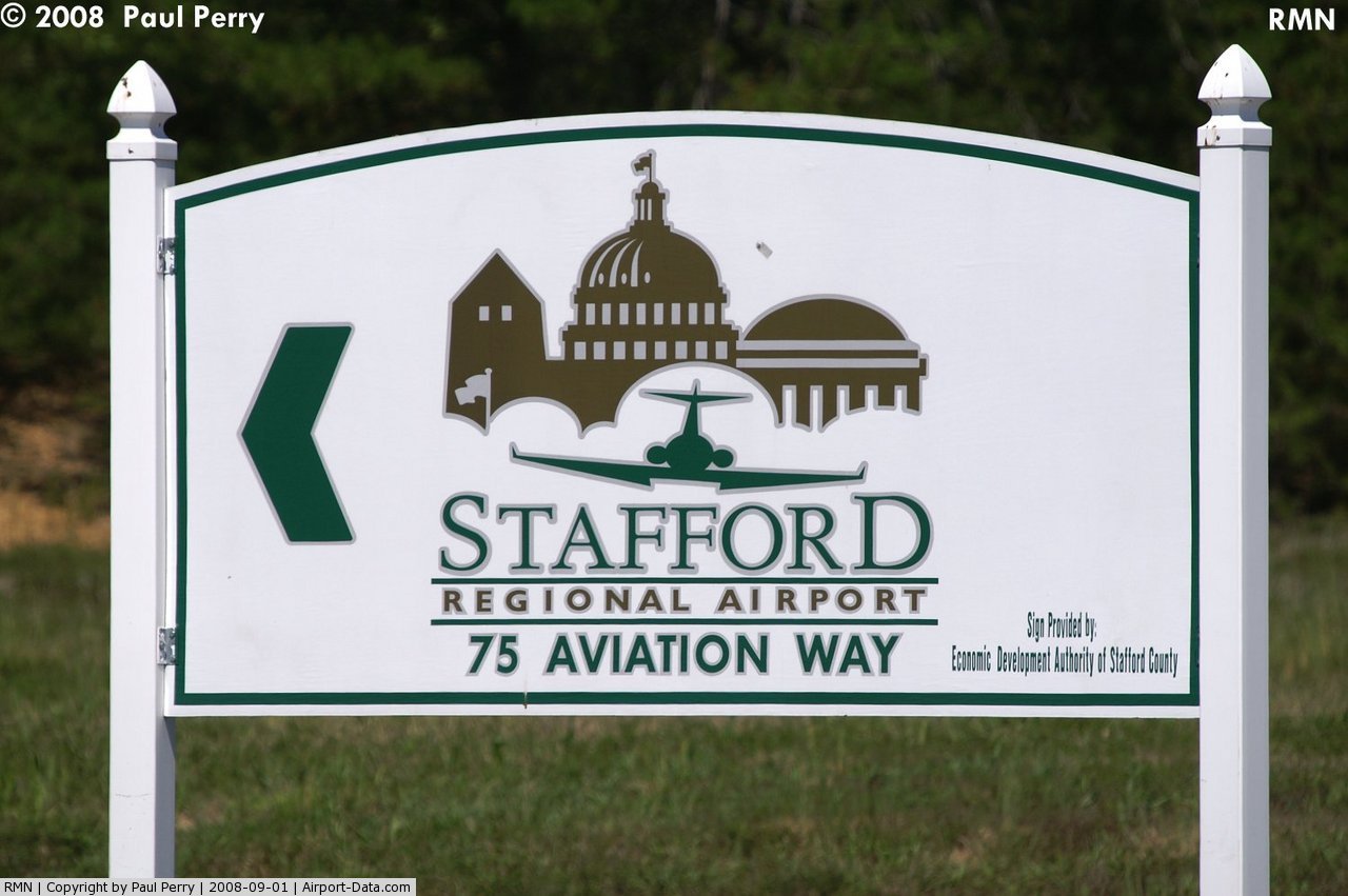
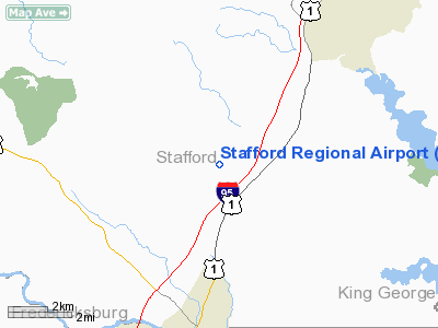
Stafford Regional Airport (ICAO: KRMN, FAA LID: RMN) is a public airport located three miles (5 km) southwest of the central business district of Stafford, the county seat of Stafford County, Virginia, United States. The airport is southwest of the intersection of Route 630 and U.S. Route 1 near Interstate 95, approximately 40 miles (64 km) south of Washington D.C. and 60 miles (97 km) north of Richmond. It is owned and operated by the Stafford Regional Airport Authority, an independent body of representatives from Stafford and Prince William Counties and the City of Fredericksburg.
Although most U.S. airports use the same three-letter location identifier for the FAA and IATA, Stafford Regional Airport is assigned RMN by the FAA but has no designation from the IATA (which assigned RMN to Rumginae, Papua New Guinea). Facilities and aircraft
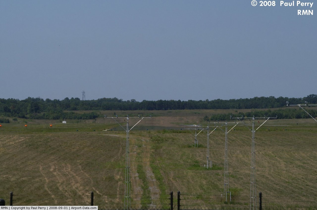
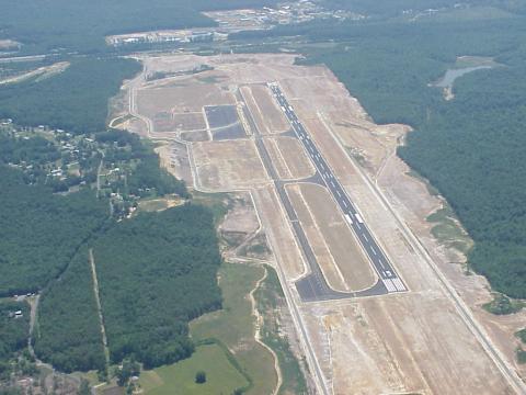
Stafford Regional Airport covers an area of 566 acres (229 ha) which contains one asphalt paved runway (15/33) measuring 5,000 x 100 ft (1,524 x 30 m). For the 12-month period ending December 31, 2004, the airport had 7,667 aircraft operations, an average of 21 per day: 93% general aviation and 7% military.
Accidents
The airport was the site of a fatal accident on February 22, 2006, involving a Lancair Columbia 400 piloted by a private pilot. The pilot and three passengers were killed when the aircraft flew into trees surrounding the runway after an aborted landing attempt via ILS. Following an investigation, the NTSB cited pilot error as the most likely cause of the accident.
The above content comes from Wikipedia and is published under free licenses – click here to read more.
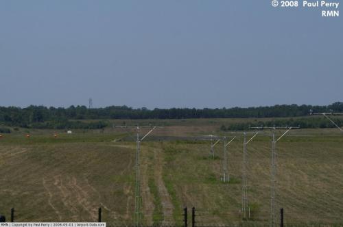 |
(Click on the photo to enlarge) |
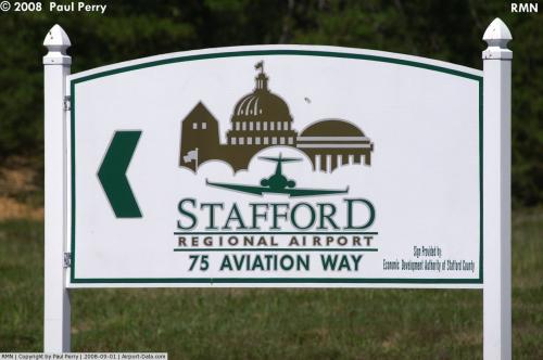 |
(Click on the photo to enlarge) |
Location & QuickFacts
| FAA Information Effective: | 2008-09-25 |
| Airport Identifier: | RMN |
| Airport Status: | Operational |
| Longitude/Latitude: | 077-27-19.7000W/38-23-53.2000N
-77.455472/38.398111 (Estimated) |
| Elevation: | 211 ft / 64.31 m (Surveyed) |
| Land: | 566 acres |
| From nearest city: | 3 nautical miles SW of Stafford, VA |
| Location: | Stafford County, VA |
| Magnetic Variation: | 10W (2000) |
Owner & Manager
| Ownership: | Publicly owned |
| Owner: | Stafford Reg'l Arpt Authority |
| Address: | 75 Aviation Way, Po Box 370
Fredericksburg, VA 22406 |
| Phone number: | 540-658-1212 |
| Manager: | Ed Wallis |
| Address: | 75 Aviation Way, Po Box 370
Fredericksburg, VA 22406 |
| Phone number: | 540-658-1212 |
Airport Operations and Facilities
| Airport Use: | Open to public |
| Wind indicator: | Yes |
| Segmented Circle: | Yes |
| Control Tower: | No |
| Lighting Schedule: | DUSK-DAWN
ACTVT HIRL RY 15/33 - CTAF. |
| Beacon Color: | Clear-Green (lighted land airport) |
| Sectional chart: | Washington |
| Region: | AEA - Eastern |
| Boundary ARTCC: | ZDC - Washington |
| Tie-in FSS: | DCA - Leesburg |
| FSS Toll Free: | 1-800-WX-BRIEF |
| NOTAMs Facility: | RMN (NOTAM-d service avaliable) |
| Federal Agreements: | NGY |
Airport Communications
| CTAF: | 122.725 |
| Unicom: | 122.725 |
Airport Services
| Fuel available: | 100LLA
FUEL AVBL UNTIL 1900; AFTER HRS CALL 540-288-3838 WITHIN 12 HRS NOTICE. |
Runway Information
Runway 15/33
| Dimension: | 5000 x 100 ft / 1524.0 x 30.5 m |
| Surface: | ASPH, Good Condition |
| Surface Treatment: | Saw-cut or plastic Grooved |
| Weight Limit: | Single wheel: 30000 lbs.
Dual wheel: 70000 lbs. |
| Edge Lights: | High |
| |
Runway 15 |
Runway 33 |
| Longitude: | 077-27-40.2147W | 077-26-59.1394W |
| Latitude: | 38-24-11.8402N | 38-23-34.4549N |
| Elevation: | 211.00 ft | 171.00 ft |
| Alignment: | 127 | 127 |
| ILS Type: | | ILS/DME
|
| Traffic Pattern: | Right | Left |
| Markings: | Non-precision instrument, | Precision instrument, |
| Crossing Height: | 45.00 ft | 45.00 ft |
| VASI: | 4-light PAPI on left side | 4-light PAPI on left side |
| Visual Glide Angle: | 3.00° | 3.00° |
| Approach lights: | | MALS |
| Runway End Identifier: | Yes | No |
| Obstruction: | 66 ft gnd, 2040.0 ft from runway, 559 ft left of centerline, 28:1 slope to clear | 53 ft trees, 2132.0 ft from runway, 308 ft right of centerline, 36:1 slope to clear |
|
Radio Navigation Aids
| ID |
Type |
Name |
Ch |
Freq |
Var |
Dist |
| EZF | NDB | Shannon | | 237.00 | 10W | 7.9 nm |
| APH | NDB | A P Hill | | 396.00 | 10W | 19.6 nm |
| CJR | NDB | Culpeper | | 252.00 | 09W | 20.6 nm |
| MSQ | NDB | Nailr | | 351.00 | 10W | 21.5 nm |
| IQK | NDB | Louisa | | 382.00 | 09W | 29.6 nm |
| DC | NDB | Oxonn | | 332.00 | 11W | 29.9 nm |
| VKX | NDB | Potomac | | 241.00 | 10W | 31.5 nm |
| GTN | NDB | Georgetown | | 323.00 | 09W | 35.5 nm |
| LJK | NDB | Ashey | | 280.00 | 09W | 37.6 nm |
| GDX | NDB | Goodwin Lake | | 227.00 | 08W | 37.8 nm |
| GAI | NDB | Gaithersburg | | 385.00 | 09W | 48.3 nm |
| DCA | VOR/DME | Washington | 047X | 111.00 | 09W | 34.0 nm |
| BRV | VORTAC | Brooke | 092X | 114.50 | 09W | 6.1 nm |
| CSN | VORTAC | Casanova | 110X | 116.30 | 06W | 24.2 nm |
| AML | VORTAC | Armel | 082X | 113.50 | 08W | 32.3 nm |
| ADW | VORTAC | Andrews | 078X | 113.10 | 10W | 37.0 nm |
| OTT | VORTAC | Nottingham | 084X | 113.70 | 10W | 38.2 nm |
| GVE | VORTAC | Gordonsville | 103X | 115.60 | 06W | 40.2 nm |
| LDN | VORTAC | Linden | 090X | 114.30 | 06W | 44.6 nm |
| DCA | VOT | Washington National | | 109.40 | | 33.4 nm |
| ADW | VOT | Andrews Afb | | 109.60 | | 35.8 nm |
Remarks
- DEER & FLOCKS OF BIRDS ON & INVOF ARPT.
- GCO AVAILABLE ON FREQ 135.075 SERVICED BY QUANTICO AND POTOMAC APPROACH CONTROLS.
- "FLY FRIENDLY" PROGRAM IN EFFECT, REQUEST THAT TOUCH AND GO ACTIVITY BE LTD TO TWO (2) EVERY HALF HR.
Images and information placed above are from
http://www.airport-data.com/airport/RMN/
We thank them for the data!
| General Info
|
| Country |
United States
|
| State |
VIRGINIA
|
| FAA ID |
RMN
|
| Latitude |
38-23-53.155N
|
| Longitude |
077-27-19.690W
|
| Elevation |
212 feet
|
| Near City |
STAFFORD
|
We don't guarantee the information is fresh and accurate. The data may
be wrong or outdated.
For more up-to-date information please refer to other sources.
|
|