|
|
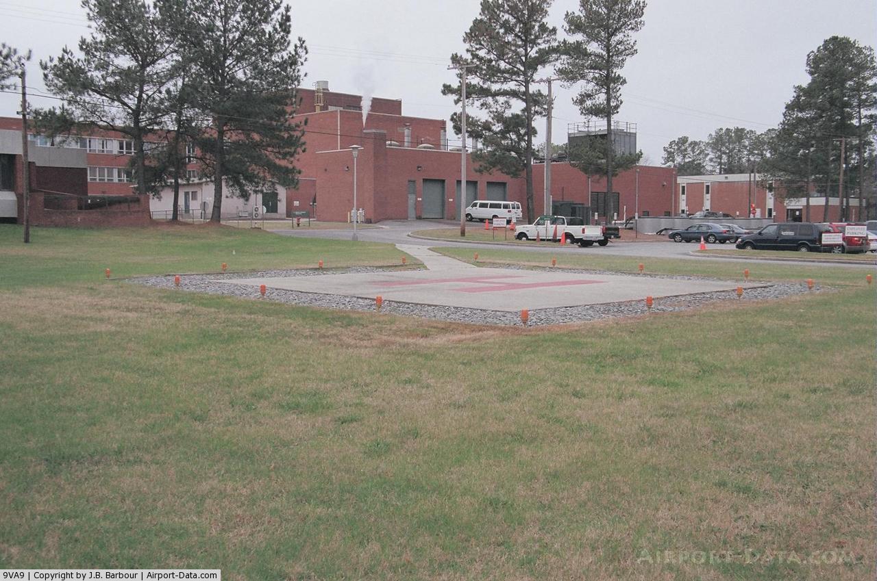
Southampton Memorial Hospital Heliport |
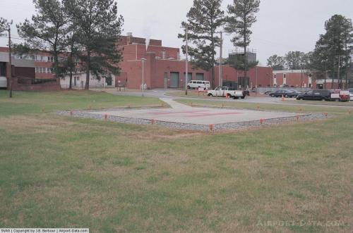 |
(Click on the photo to enlarge) |
Location & QuickFacts
| FAA Information Effective: | 2008-09-25 |
| Airport Identifier: | 9VA9 |
| Airport Status: | Operational |
| Longitude/Latitude: | 076-56-17.8590W/36-41-57.5410N
-76.938294/36.699317 (Estimated) |
| Elevation: | 44 ft / 13.41 m (Estimated) |
| Land: | 0 acres |
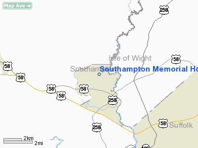
| From nearest city: | 1 nautical miles NW of Franklin, VA |
| Location: | Southampton County, VA |
| Magnetic Variation: | 09W (1985) |
Owner & Manager
| Ownership: | Publicly owned |
| Owner: | Franklin Hospital Corporation |
| Address: | 100 Fairview Drive
Franklin, VA 23851 |
| Phone number: | 804-569-6100 |
| Manager: | Patrick D. Gleason |
| Address: | 100 Fairview Drive
Franklin, VA 23851 |
| Phone number: | 804-569-6100 |
Airport Operations and Facilities
| Airport Use: | Private
MEDICAL USE. |
| Wind indicator: | Yes |
| Segmented Circle: | No |
| Control Tower: | No |
| Lighting Schedule: | NONE |
| Landing fee charge: | No |
| Sectional chart: | Washington |
| Region: | AEA - Eastern |
| Boundary ARTCC: | ZDC - Washington |
| Tie-in FSS: | DCA - Leesburg |
| FSS on Airport: | No |
| FSS Toll Free: | 1-800-WX-BRIEF |
Runway Information
Helipad H1
| Dimension: | 30 x 30 ft / 9.1 x 9.1 m |
| Surface: | CONC, |
| |
Runway H1 |
Runway |
| Traffic Pattern: | Left | Left |
|
Radio Navigation Aids
| ID |
Type |
Name |
Ch |
Freq |
Var |
Dist |
| RK | NDB | Waley | | 249.00 | 10W | 15.2 nm |
| AKQ | NDB | Wakefield | | 274.00 | 09W | 17.3 nm |
| ELQ | NDB | Emporia | | 261.00 | 10W | 24.0 nm |
| PVG | NDB | Portsmouth | | 241.00 | 10W | 24.2 nm |
| ASJ | NDB | Ahoskie | | 415.00 | 10W | 26.6 nm |
| EY | NDB | Chesi | | 233.00 | 09W | 27.5 nm |
| FAF | NDB | Felker | | 226.00 | 08W | 30.6 nm |
| PJS | NDB | Henry | | 375.00 | 09W | 33.7 nm |
| PTB | NDB | Petersburg | | 284.00 | 08W | 40.1 nm |
| RZZ | NDB | Rapids | | 407.00 | 08W | 40.3 nm |
| LLW | NDB | Woodville | | 254.00 | 10W | 40.6 nm |
| EDE | NDB | Edenton | | 265.00 | 10W | 44.3 nm |
| CF | NDB | Pubbs | | 392.00 | 09W | 45.4 nm |
| NGU | TACAN | Chambers | 048X | | 10W | 34.9 nm |
| LFI | TACAN | Langley | 070X | | 10W | 36.2 nm |
| NTU | TACAN | Oceana | 113X | | 10W | 44.0 nm |
| ECG | VOR/DME | Elizabeth City | 072X | 112.50 | 07W | 45.4 nm |
| FKN | VORTAC | Franklin | 043X | 110.60 | 09W | 3.7 nm |
| CVI | VORTAC | Cofield | 093X | 114.60 | 09W | 19.9 nm |
| ORF | VORTAC | Norfolk | 116X | 116.90 | 07W | 37.4 nm |
| HPW | VORTAC | Hopewell | 057X | 112.00 | 06W | 38.8 nm |
| HCM | VORTAC | Harcum | 025X | 108.80 | 07W | 46.3 nm |
| LVL | VORTAC | Lawrenceville | 076X | 112.90 | 08W | 47.0 nm |
Images and information placed above are from
http://www.airport-data.com/airport/9VA9/
We thank them for the data!
| General Info
|
| Country |
United States
|
| State |
VIRGINIA
|
| FAA ID |
9VA9
|
| Latitude |
36-41-57.541N
|
| Longitude |
076-56-17.859W
|
| Elevation |
44 feet
|
| Near City |
FRANKLIN
|
We don't guarantee the information is fresh and accurate. The data may
be wrong or outdated.
For more up-to-date information please refer to other sources.
|
|