 |
|
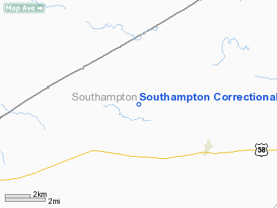
Southampton Correctional Center Airport |
Location & QuickFacts
| FAA Information Effective: | 2008-09-25 |
| Airport Identifier: | VA14 |
| Airport Status: | Operational |
| Longitude/Latitude: | 077-15-45.8900W/36-44-26.5390N
-77.262747/36.740705 (Estimated) |
| Elevation: | 50 ft / 15.24 m (Estimated) |
| Land: | 0 acres |
| From nearest city: | 4 nautical miles NW of Capron, VA |
| Location: | Southampton County, VA |
| Magnetic Variation: | 08W (1985) |
Owner & Manager
| Ownership: | Privately owned |
| Owner: | Southampton Correctional Cntr |
| Address: | 14545 Old Belfield Rd
Capron, VA 23829 |
| Phone number: | 804-658-4174 |
| Manager: | Harvey M. Smith |
| Address: | Southampton Correctional Cntr
Capron, VA 23829 |
| Phone number: | 804-658-4174 |
Airport Operations and Facilities
| Airport Use: | Private |
| Wind indicator: | Yes |
| Segmented Circle: | No |
| Control Tower: | No |
| Landing fee charge: | No |
| Sectional chart: | Washington |
| Region: | AEA - Eastern |
| Boundary ARTCC: | ZDC - Washington |
| Tie-in FSS: | DCA - Leesburg |
| FSS on Airport: | No |
| FSS Toll Free: | 1-800-WX-BRIEF |
Airport Services
| Airframe Repair: | NONE |
| Power Plant Repair: | NONE |
Runway Information
Runway E/W
| Dimension: | 2221 x 100 ft / 677.0 x 30.5 m |
| Surface: | TURF, |
| |
Runway E |
Runway W |
| Traffic Pattern: | Right | Left |
|
Radio Navigation Aids
| ID |
Type |
Name |
Ch |
Freq |
Var |
Dist |
| ELQ | NDB | Emporia | | 261.00 | 10W | 10.8 nm |
| AKQ | NDB | Wakefield | | 274.00 | 09W | 19.3 nm |
| ASJ | NDB | Ahoskie | | 415.00 | 10W | 26.9 nm |
| PTB | NDB | Petersburg | | 284.00 | 08W | 27.8 nm |
| RZZ | NDB | Rapids | | 407.00 | 08W | 28.1 nm |
| RK | NDB | Waley | | 249.00 | 10W | 30.8 nm |
| CF | NDB | Pubbs | | 392.00 | 09W | 36.8 nm |
| MBV | NDB | Mecklenburg/dcmsnd | | 356.00 | 08W | 38.3 nm |
| AEA | NDB | Jones | | 373.00 | 09W | 38.9 nm |
| FAF | NDB | Felker | | 226.00 | 08W | 39.1 nm |
| PVG | NDB | Portsmouth | | 241.00 | 10W | 39.4 nm |
| EY | NDB | Chesi | | 233.00 | 09W | 43.3 nm |
| PJS | NDB | Henry | | 375.00 | 09W | 43.8 nm |
| BKT | NDB | Blackstone | | 326.00 | 09W | 44.2 nm |
| LFI | TACAN | Langley | 070X | | 10W | 48.1 nm |
| NGU | TACAN | Chambers | 048X | | 10W | 48.9 nm |
| FKN | VORTAC | Franklin | 043X | 110.60 | 09W | 12.2 nm |
| CVI | VORTAC | Cofield | 093X | 114.60 | 09W | 29.1 nm |
| LVL | VORTAC | Lawrenceville | 076X | 112.90 | 08W | 31.2 nm |
| HPW | VORTAC | Hopewell | 057X | 112.00 | 06W | 36.0 nm |
| RIC | VORTAC | Richmond | 088X | 114.10 | 09W | 45.9 nm |
Remarks
- ACKNOWLEDGE FOR RECORD PURPOSES.
Images and information placed above are from
http://www.airport-data.com/airport/VA14/
We thank them for the data!
| General Info
|
| Country |
United States
|
| State |
VIRGINIA
|
| FAA ID |
VA14
|
| Latitude |
36-44-26.539N
|
| Longitude |
077-15-45.890W
|
| Elevation |
50 feet
|
| Near City |
CAPRON
|
We don't guarantee the information is fresh and accurate. The data may
be wrong or outdated.
For more up-to-date information please refer to other sources.
|
|


