|
|
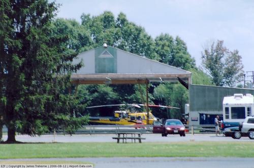 |
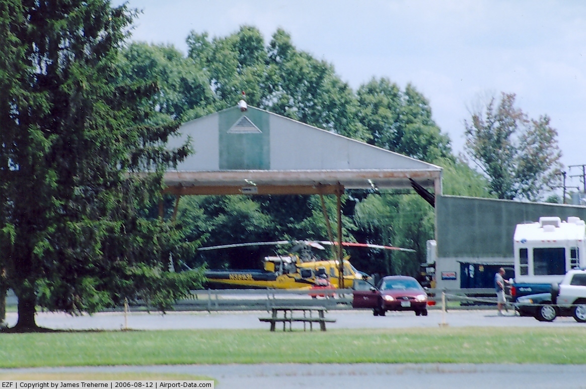
(Click on the photo to enlarge) |
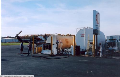 |
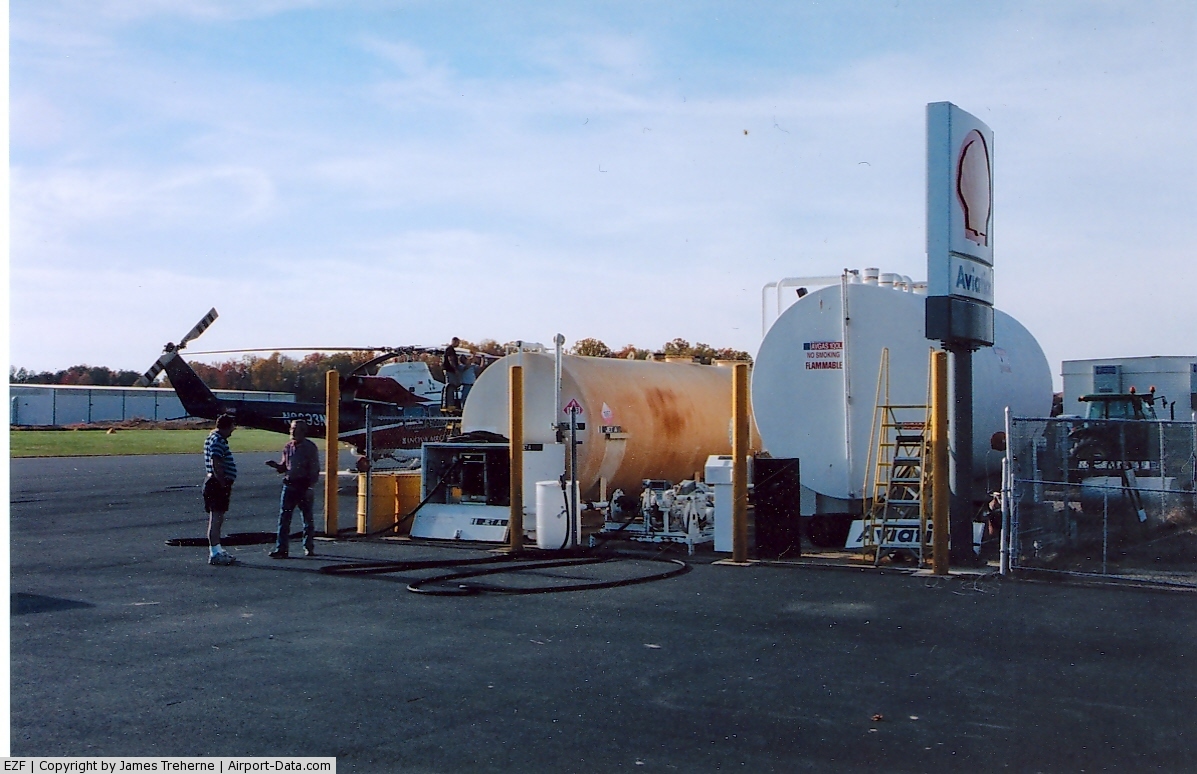
(Click on the photo to enlarge) |
 |
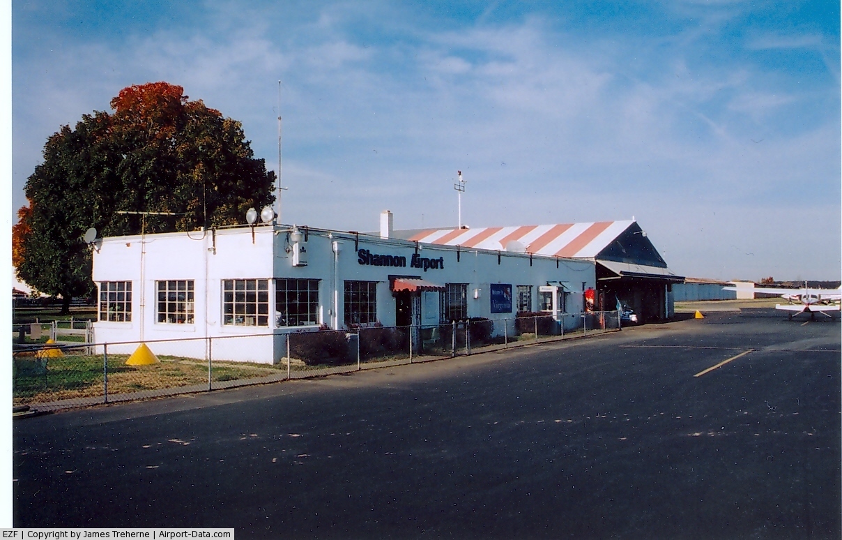
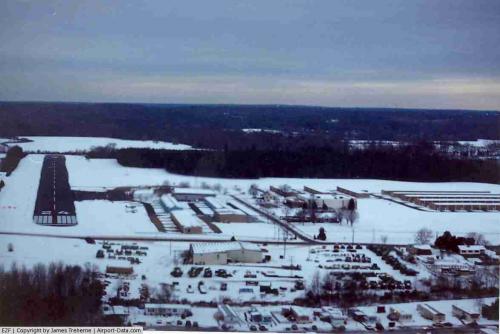
(Click on the photo to enlarge) |
 |
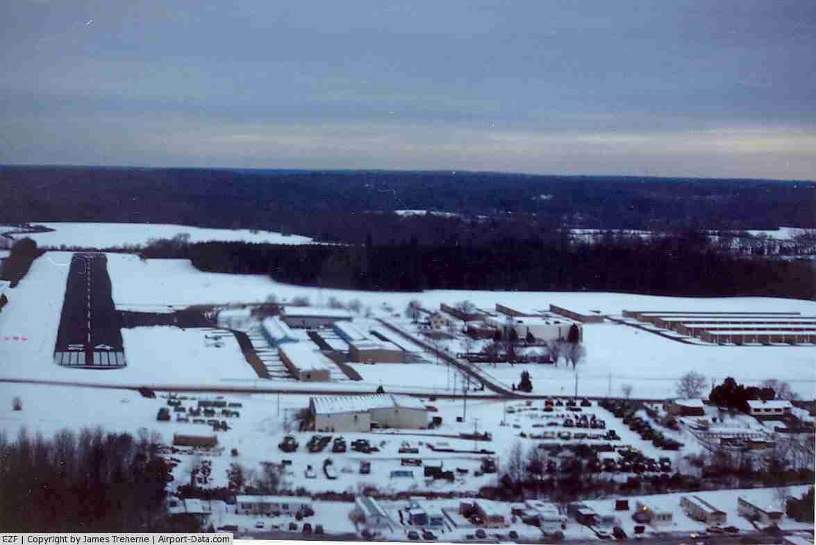
(Click on the photo to enlarge) |
 |
(Click on the photo to enlarge) |
Location & QuickFacts
| FAA Information Effective: | 2008-09-25 |
| Airport Identifier: | EZF |
| Airport Status: | Operational |
| Longitude/Latitude: | 077-26-57.8000W/38-15-58.4000N
-77.449389/38.266222 (Estimated) |
| Elevation: | 85 ft / 25.91 m (Surveyed) |
| Land: | 62 acres |
| From nearest city: | 2 nautical miles S of Fredericksburg, VA |
| Location: | Spotsylvania County, VA |
| Magnetic Variation: | 10W (1995) |
Owner & Manager
| Ownership: | Privately owned |
| Owner: | Aire Shannon Inc |
| Address: | 3380 Shannon Airport Circle
Fredericksburg, VA 22408 |
| Phone number: | 540-373-4431 |
| Manager: | Ms Billie S. Toombs
MR. ROBERT STANLEY CO-MANAGER. |
| Address: | 3380 Shannon Airport Circle
Fredericksburg, VA 22408 |
| Phone number: | 540-373-4431 |
Airport Operations and Facilities
| Airport Use: | Open to public |
| Wind indicator: | Yes |
| Segmented Circle: | No |
| Control Tower: | No |
| Lighting Schedule: | DUSK-DAWN
ACTVT MIRL RY 06/24 - CTAF. |
| Beacon Color: | Clear-Green (lighted land airport) |
| Landing fee charge: | No
FEE FOR CHARTER & CORPORATE ACFT IS WAVED WITH FUEL PURCHASE. |
| Sectional chart: | Washington |
| Region: | AEA - Eastern |
| Boundary ARTCC: | ZDC - Washington |
| Tie-in FSS: | DCA - Leesburg |
| FSS on Airport: | No |
| FSS Toll Free: | 1-800-WX-BRIEF |
| NOTAMs Facility: | EZF (NOTAM-d service avaliable) |
Airport Communications
| CTAF: | 122.800 |
| Unicom: | 122.800 |
Airport Services
| Fuel available: | 100LLA |
| Airframe Repair: | MAJOR |
| Power Plant Repair: | MAJOR |
| Bottled Oxygen: | NONE |
| Bulk Oxygen: | NONE |
Runway Information
Runway 06/24
| Dimension: | 2999 x 100 ft / 914.1 x 30.5 m |
| Surface: | ASPH, Good Condition |
| Edge Lights: | Medium |
| |
Runway 06 |
Runway 24 |
| Longitude: | 077-27-10.7180W | 077-26-43.9390W |
| Latitude: | 38-15-47.6630N | 38-16-08.4690N |
| Elevation: | 83.00 ft | 85.00 ft |
| Alignment: | 45 | 127 |
| Traffic Pattern: | Left | Left |
| Markings: | Basic, Good Condition | Non-precision instrument, Good Condition |
| Displaced threshold: | 240.00 ft | 35.00 ft |
| VASI: | pulsating/steady burning on left side | pulsating/steady burning on left side |
| Obstruction: | 21 ft rr, 205.0 ft from runway
RY 06 +21 FT RR, DIST 348 FT, 16:1 BASED ON DSPLCD THLD.
+20 FT TRR 180-200 FT FM RY END 143 FT L TO 145 R. | 24 ft tree, 399.0 ft from runway, 72 ft left of centerline, 8:1 slope to clear
APCH RATIO 15:1 TO DSPLCD THLD.
+8 FT TREES 180 FT FM RY END 85 FT L. |
|
Runway 15/33
| Dimension: | 1500 x 150 ft / 457.2 x 45.7 m |
| Surface: | TURF, Good Condition |
| |
Runway 15 |
Runway 33 |
| Longitude: | 077-27-05.5000W | 077-26-51.7900W |
| Latitude: | 38-16-04.0000N | 38-15-53.8500N |
| Alignment: | 127 | 127 |
| Traffic Pattern: | Left | Left |
| Obstruction: | 34 ft tree, 257.0 ft from runway, 120 ft right of centerline, 7:1 slope to clear
FROM RUNWAY END | 59 ft tree, 2422.0 ft from runway, 40:1 slope to clear |
|
Helipad H1
| Dimension: | 30 x 30 ft / 9.1 x 9.1 m |
| Surface: | CONC, Good Condition |
| |
Runway H1 |
Runway |
| Traffic Pattern: | Left | Left |
|
Radio Navigation Aids
| ID |
Type |
Name |
Ch |
Freq |
Var |
Dist |
| APH | NDB | A P Hill | | 396.00 | 10W | 12.2 nm |
| MSQ | NDB | Nailr | | 351.00 | 10W | 24.3 nm |
| IQK | NDB | Louisa | | 382.00 | 09W | 24.4 nm |
| CJR | NDB | Culpeper | | 252.00 | 09W | 25.0 nm |
| LJK | NDB | Ashey | | 280.00 | 09W | 29.7 nm |
| DC | NDB | Oxonn | | 332.00 | 11W | 36.0 nm |
| VKX | NDB | Potomac | | 241.00 | 10W | 37.1 nm |
| GTN | NDB | Georgetown | | 323.00 | 09W | 42.7 nm |
| GDX | NDB | Goodwin Lake | | 227.00 | 08W | 45.1 nm |
| NHK | NDB | Patuxent | | 400.00 | 10W | 49.4 nm |
| DCA | VOR/DME | Washington | 047X | 111.00 | 09W | 40.6 nm |
| BRV | VORTAC | Brooke | 092X | 114.50 | 09W | 6.2 nm |
| CSN | VORTAC | Casanova | 110X | 116.30 | 06W | 29.9 nm |
| GVE | VORTAC | Gordonsville | 103X | 115.60 | 06W | 36.6 nm |
| AML | VORTAC | Armel | 082X | 113.50 | 08W | 40.2 nm |
| OTT | VORTAC | Nottingham | 084X | 113.70 | 10W | 42.4 nm |
| ADW | VORTAC | Andrews | 078X | 113.10 | 10W | 42.5 nm |
| RIC | VORTAC | Richmond | 088X | 114.10 | 09W | 46.3 nm |
| FAK | VORTAC | Flat Rock | 080X | 113.30 | 06W | 47.8 nm |
| PXT | VORTAC | Patuxent | 123X | 117.60 | 10W | 49.5 nm |
| DCA | VOT | Washington National | | 109.40 | | 39.9 nm |
| ADW | VOT | Andrews Afb | | 109.60 | | 41.2 nm |
Remarks
- TAKE-OFF FROM RY 15 PROHIBITED.
- GCO AVBL ON FREQ 135.075 THRU PCT CLEARANCE DELIVERY. GCO OTS INDEFLY.
- SELF-FUELING.
- PRIOR TO 1959.
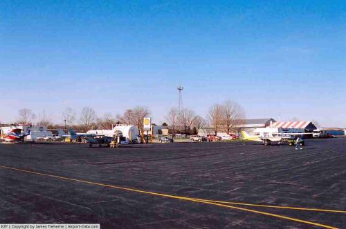
Images and information placed above are from
http://www.airport-data.com/airport/EZF/
We thank them for the data!
| General Info
|
| Country |
United States
|
| State |
VIRGINIA
|
| FAA ID |
EZF
|
| Latitude |
38-16-00.560N
|
| Longitude |
077-26-57.100W
|
| Elevation |
85 feet
|
| Near City |
FREDERICKSBURG
|
We don't guarantee the information is fresh and accurate. The data may
be wrong or outdated.
For more up-to-date information please refer to other sources.
|
|