 |
|
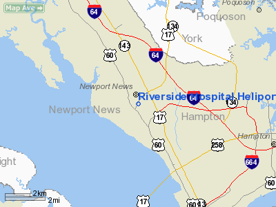
Riverside Hospital Heliport |
Location & QuickFacts
| FAA Information Effective: | 2008-09-25 |
| Airport Identifier: | 54VA |
| Airport Status: | Operational |
| Longitude/Latitude: | 076-29-01.8200W/37-03-55.5280N
-76.483839/37.065424 (Estimated) |
| Elevation: | 35 ft / 10.67 m (Estimated) |
| Land: | 0 acres |
| From nearest city: | 0 nautical miles N of Newport News, VA |
| Location: | Newport News County, VA |
| Magnetic Variation: | 09W (1985) |
Owner & Manager
| Ownership: | Privately owned |
| Owner: | Riverside Region. Medical Ctr |
| Address: | 500 J.clyde Morris Blvd.
Newport News, VA 23602 |
| Phone number: | 757-594-3315 |
| Manager: | Mark Rath, Director |
| Address: | 500 J.clyde Morris Blvd.
Newport News, VA 23602 |
| Phone number: | 757-594-3315 |
Airport Operations and Facilities
| Airport Use: | Private
MEDICAL USE. |
| Wind indicator: | Yes |
| Segmented Circle: | No |
| Control Tower: | No |
| Landing fee charge: | No |
| Sectional chart: | Washington |
| Region: | AEA - Eastern |
| Boundary ARTCC: | ZDC - Washington |
| Tie-in FSS: | DCA - Leesburg |
| FSS on Airport: | No |
| FSS Toll Free: | 1-800-WX-BRIEF |
Runway Information
Helipad H1
| Dimension: | 40 x 40 ft / 12.2 x 12.2 m |
| Surface: | CONC, |
| |
Runway H1 |
Runway |
| Traffic Pattern: | Left | Left |
|
Radio Navigation Aids
| ID |
Type |
Name |
Ch |
Freq |
Var |
Dist |
| PJS | NDB | Henry | | 375.00 | 09W | 4.1 nm |
| FAF | NDB | Felker | | 226.00 | 08W | 7.8 nm |
| PVG | NDB | Portsmouth | | 241.00 | 10W | 17.2 nm |
| AKQ | NDB | Wakefield | | 274.00 | 09W | 25.3 nm |
| EY | NDB | Chesi | | 233.00 | 09W | 28.4 nm |
| RK | NDB | Waley | | 249.00 | 10W | 29.1 nm |
| BDB | NDB | Accomack | | 336.00 | 11W | 44.7 nm |
| LLW | NDB | Woodville | | 254.00 | 10W | 49.1 nm |
| CF | NDB | Pubbs | | 392.00 | 09W | 49.1 nm |
| LFI | TACAN | Langley | 070X | | 10W | 6.1 nm |
| NGU | TACAN | Chambers | 048X | | 10W | 12.5 nm |
| NTU | TACAN | Oceana | 113X | | 10W | 25.9 nm |
| ORF | VORTAC | Norfolk | 116X | 116.90 | 07W | 17.2 nm |
| HCM | VORTAC | Harcum | 025X | 108.80 | 07W | 25.5 nm |
| CCV | VORTAC | Cape Charles | 059X | 112.20 | 10W | 28.8 nm |
| FKN | VORTAC | Franklin | 043X | 110.60 | 09W | 33.0 nm |
| HPW | VORTAC | Hopewell | 057X | 112.00 | 06W | 34.2 nm |
| CVI | VORTAC | Cofield | 093X | 114.60 | 09W | 45.6 nm |
| RIC | VORTAC | Richmond | 088X | 114.10 | 09W | 47.9 nm |
Remarks
- PROVIDED PAD IS LIMITED TO MEDICAL FLIGHTS ONLY.
Images and information placed above are from
http://www.airport-data.com/airport/54VA/
We thank them for the data!
| General Info
|
| Country |
United States
|
| State |
VIRGINIA
|
| FAA ID |
54VA
|
| Latitude |
37-03-55.528N
|
| Longitude |
076-29-01.820W
|
| Elevation |
35 feet
|
| Near City |
NEWPORT NEWS
|
We don't guarantee the information is fresh and accurate. The data may
be wrong or outdated.
For more up-to-date information please refer to other sources.
|
|


