|
|
 |
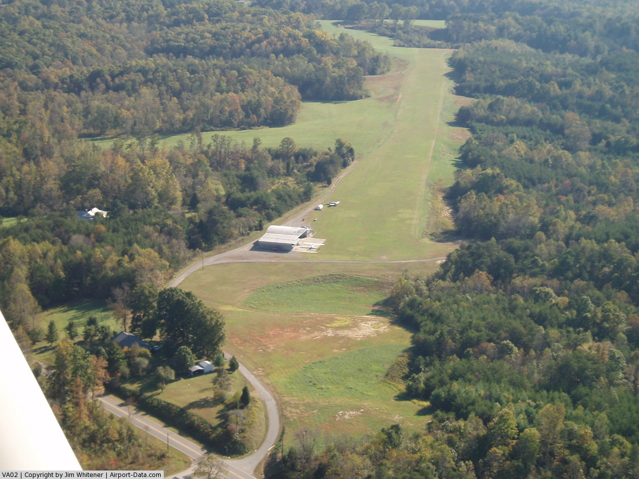
(Click on the photo to enlarge) |
Location & QuickFacts
| FAA Information Effective: | 2008-09-25 |
| Airport Identifier: | VA02 |
| Airport Status: | Operational |
| Longitude/Latitude: | 079-53-38.1430W/36-35-07.4960N
-79.893929/36.585416 (Estimated) |
| Elevation: | 800 ft / 243.84 m (Estimated) |
| Land: | 20 acres |
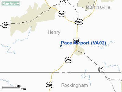
| From nearest city: | 1 nautical miles W of Ridgeway, VA |
| Location: | Henry County, VA |
| Magnetic Variation: | 06W (1985) |
Owner & Manager
| Ownership: | Privately owned |
| Owner: | Thomas D. Pace |
| Address: | Rt 4, Box 405
Ridgeway, VA 24148 |
| Phone number: | 703-956-2159 |
| Manager: | Thomas D Pace |
| Address: | Rt 4 Box 405
Ridgeway, VA 24148 |
| Phone number: | 703-956-2159 |
Airport Operations and Facilities
| Airport Use: | Private |
| Wind indicator: | Yes |
| Segmented Circle: | No |
| Control Tower: | No |
| Sectional chart: | Cincinnati |
| Region: | AEA - Eastern |
| Boundary ARTCC: | ZDC - Washington |
| Tie-in FSS: | DCA - Leesburg |
| FSS Toll Free: | 1-800-WX-BRIEF |
Airport Services
Runway Information
Runway 18/36
| Dimension: | 3000 x 150 ft / 914.4 x 45.7 m |
| Surface: | TURF, |
| |
Runway 18 |
Runway 36 |
| Traffic Pattern: | Left | Left |
|
Radio Navigation Aids
| ID |
Type |
Name |
Ch |
Freq |
Var |
Dist |
| OQA | FAN MARKER | Rockingham County | | | | 10.0 nm |
| UV | NDB | Bales | | 396.00 | 07W | 1.2 nm |
| SIF | NDB | Slammer | | 423.00 | 07W | 13.7 nm |
| AZW | NDB | Mount Airy | | 223.00 | 07W | 33.6 nm |
| VIT | NDB | Vinton | | 277.00 | 06W | 37.2 nm |
| HB | NDB | Himun | | 361.00 | 08W | 39.5 nm |
| CNQ | NDB | Callahan | | 379.00 | 05W | 42.6 nm |
| ZEF | NDB | Zephyr | | 326.00 | 05W | 43.3 nm |
| TEC | NDB | Tech | | 368.00 | 06W | 44.8 nm |
| HUR | NDB | Person | | 220.00 | 08W | 45.3 nm |
| HLX | NDB | Hillsville | | 269.00 | 06W | 46.0 nm |
| DVZ | NDB | Davie | | 354.00 | 06W | 48.7 nm |
| DAN | VOR | Danville | | 113.10 | 06W | 26.9 nm |
| ODR | VOR | Woodrum | | 114.90 | 06W | 44.6 nm |
| GSO | VORTAC | Greensboro | 109X | 116.20 | 03W | 32.7 nm |
| SBV | VORTAC | South Boston | 041X | 110.40 | 05W | 42.8 nm |
| ROA | VORTAC | Roanoke | 031X | 109.40 | 04W | 46.3 nm |
| LIB | VORTAC | Liberty | 077X | 113.00 | 03W | 48.5 nm |
| PSK | VORTAC | Pulaski | 115X | 116.80 | 06W | 49.6 nm |
Remarks
- VFR USE ONLY; TREES AT NORTH END REMOVED OR LOWERED, LETTER OF AGREEMENT WITH BLUERIDGE ARPT SPECIFYING ROUTES AND ALTITUTES.
Images and information placed above are from
http://www.airport-data.com/airport/VA02/
We thank them for the data!
| General Info
|
| Country |
United States
|
| State |
VIRGINIA
|
| FAA ID |
VA02
|
| Latitude |
36-35-07.496N
|
| Longitude |
079-53-38.143W
|
| Elevation |
800 feet
|
| Near City |
RIDGEWAY
|
We don't guarantee the information is fresh and accurate. The data may
be wrong or outdated.
For more up-to-date information please refer to other sources.
|
|