 |
|
Location & QuickFacts
| FAA Information Effective: | 2008-09-25 |
| Airport Identifier: | 3VG6 |
| Airport Status: | Operational |
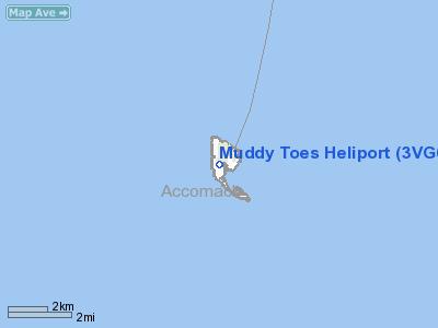
| Longitude/Latitude: | 075-59-43.6200W/37-49-09.4200N
-75.995450/37.819283 (Estimated) |
| Elevation: | 5 ft / 1.52 m () |
| Land: | 0 acres |
| From nearest city: | 1 nautical miles S of Tangier, VA |
| Location: | Accomack County, VA |
| Magnetic Variation: | () |
Owner & Manager
| Ownership: | Privately owned |
| Owner: | Susan & Neil Kaye |
| Address: | 16685 West Ridge
Tangier, VA 23440 |
| Phone number: | 302-234-8950 |
| Manager: | Susan & Neil Kaye |
| Address: | 16685 West Ridge
Tangier, VA 23440 |
| Phone number: | 302-234-8950 |
Airport Operations and Facilities
| Airport Use: | Private |
| Control Tower: | No |
| Sectional chart: | Washington |
| Region: | AEA - Eastern |
| Boundary ARTCC: | ZDC - Washington |
| Tie-in FSS: | DCA - Leesburg |
| FSS Toll Free: | 1-800-WX-BRIEF |
Runway Information
Helipad H1
| Dimension: | 16 x 16 ft / 4.9 x 4.9 m |
| Surface: | WOOD, |
| |
Runway H1 |
Runway |
| Traffic Pattern: | Left | Left |
|
Radio Navigation Aids
| ID |
Type |
Name |
Ch |
Freq |
Var |
Dist |
| BDB | NDB | Accomack | | 336.00 | 11W | 17.7 nm |
| NHK | NDB | Patuxent | | 400.00 | 10W | 34.0 nm |
| CGE | NDB | Cambridge | | 355.00 | 10W | 43.2 nm |
| PJS | NDB | Henry | | 375.00 | 09W | 47.6 nm |
| OX | NDB | Landy | | 407.00 | 12W | 49.9 nm |
| LFI | TACAN | Langley | 070X | | 10W | 47.4 nm |
| CCV | VORTAC | Cape Charles | 059X | 112.20 | 10W | 28.4 nm |
| SWL | VORTAC | Snow Hill | 071X | 112.40 | 08W | 29.0 nm |
| PXT | VORTAC | Patuxent | 123X | 117.60 | 10W | 34.1 nm |
| SBY | VORTAC | Salisbury | 049X | 111.20 | 12W | 39.0 nm |
| HCM | VORTAC | Harcum | 025X | 108.80 | 07W | 40.7 nm |
Images and information placed above are from
http://www.airport-data.com/airport/3VG6/
We thank them for the data!
|
|


