|
|
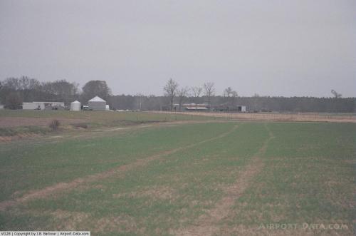 |
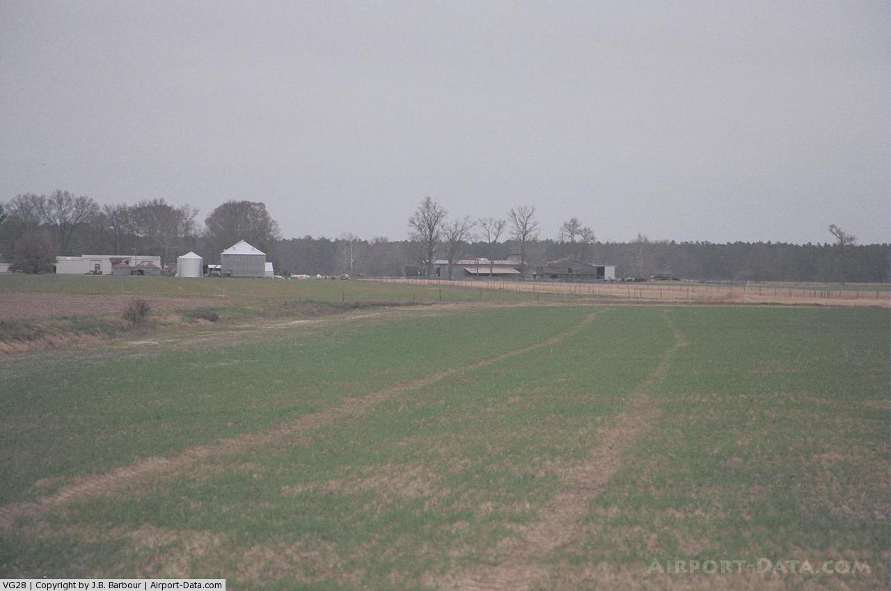
(Click on the photo to enlarge) |
Location & QuickFacts
| FAA Information Effective: | 2008-09-25 |
| Airport Identifier: | VG28 |
| Airport Status: | Operational |
| Longitude/Latitude: | 077-11-28.8820W/36-32-56.5460N
-77.191356/36.549041 (Estimated) |
| Elevation: | 35 ft / 10.67 m (Estimated) |
| Land: | 0 acres |
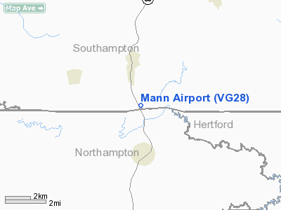
| From nearest city: | 2 nautical miles S of Boykins, VA |
| Location: | Southampton County, VA |
| Magnetic Variation: | 08W (1985) |
Owner & Manager
| Ownership: | Privately owned |
| Address: |
|
| Manager: | Melvin E Mann |
| Address: | 34327 Meherrin Rd
Boykins, VA 23827 |
| Phone number: | 804-654-6336 |
Airport Operations and Facilities
| Airport Use: | Private |
| Segmented Circle: | No |
| Control Tower: | No |
| Landing fee charge: | No |
| Sectional chart: | Washington |
| Region: | AEA - Eastern |
| Boundary ARTCC: | ZDC - Washington |
| Tie-in FSS: | DCA - Leesburg |
| FSS on Airport: | No |
| FSS Toll Free: | 1-800-WX-BRIEF |
Airport Services
| Airframe Repair: | NONE |
| Power Plant Repair: | NONE |
Runway Information
Runway N/S
| Dimension: | 2300 x 60 ft / 701.0 x 18.3 m |
| Surface: | TURF, |
| |
Runway N |
Runway S |
| Traffic Pattern: | Right | Right |
|
Radio Navigation Aids
| ID |
Type |
Name |
Ch |
Freq |
Var |
Dist |
| ELQ | NDB | Emporia | | 261.00 | 10W | 12.0 nm |
| ASJ | NDB | Ahoskie | | 415.00 | 10W | 15.0 nm |
| RZZ | NDB | Rapids | | 407.00 | 08W | 25.8 nm |
| RK | NDB | Waley | | 249.00 | 10W | 26.3 nm |
| AKQ | NDB | Wakefield | | 274.00 | 09W | 27.7 nm |
| PVG | NDB | Portsmouth | | 241.00 | 10W | 38.6 nm |
| EY | NDB | Chesi | | 233.00 | 09W | 39.2 nm |
| PTB | NDB | Petersburg | | 284.00 | 08W | 39.5 nm |
| ETC | NDB | Tarboro | | 257.00 | 08W | 40.7 nm |
| MCZ | NDB | Williamston | | 336.00 | 09W | 41.5 nm |
| AEA | NDB | Jones | | 373.00 | 09W | 41.8 nm |
| MBV | NDB | Mecklenburg/dcmsnd | | 356.00 | 08W | 42.6 nm |
| EDE | NDB | Edenton | | 265.00 | 10W | 43.7 nm |
| FAF | NDB | Felker | | 226.00 | 08W | 44.9 nm |
| LLW | NDB | Woodville | | 254.00 | 10W | 46.5 nm |
| PJS | NDB | Henry | | 375.00 | 09W | 48.6 nm |
| CF | NDB | Pubbs | | 392.00 | 09W | 48.8 nm |
| PMZ | NDB | Plymouth | | 221.00 | 10W | 49.1 nm |
| NGU | TACAN | Chambers | 048X | | 10W | 49.9 nm |
| FKN | VORTAC | Franklin | 043X | 110.60 | 09W | 13.2 nm |
| CVI | VORTAC | Cofield | 093X | 114.60 | 09W | 18.7 nm |
| LVL | VORTAC | Lawrenceville | 076X | 112.90 | 08W | 37.9 nm |
| TYI | VORTAC | Tar River | 125X | 117.80 | 05W | 42.4 nm |
| HPW | VORTAC | Hopewell | 057X | 112.00 | 06W | 47.0 nm |
Remarks
Images and information placed above are from
http://www.airport-data.com/airport/VG28/
We thank them for the data!
| General Info
|
| Country |
United States
|
| State |
VIRGINIA
|
| FAA ID |
VG28
|
| Latitude |
36-32-56.546N
|
| Longitude |
077-11-28.882W
|
| Elevation |
35 feet
|
| Near City |
BOYKINS
|
We don't guarantee the information is fresh and accurate. The data may
be wrong or outdated.
For more up-to-date information please refer to other sources.
|
|