|
|
Manassas Rgnl/harry P. Davis Field Airport |
Manassas Regional Airport
Harry P. Davis Field |
 |
| IATA: HEF or MNZ – ICAO: KHEF – FAA LID: HEF |
| Summary |
| Airport type |
Public |
| Owner |
City of Manassas |
| Serves |
Manassas, Virginia |
| Elevation AMSL |
192 ft / 59 m |
| Coordinates |
38°43′17″N 077°30′56″W / 38.72139°N 77.51556°W / 38.72139; -77.51556 |
| Runways |
| Direction |
Length |
Surface |
| ft |
m |
| 16L/34R |
5,700 |
1,737 |
Asphalt |
| 16R/34L |
3,702 |
1,128 |
Asphalt |
| Statistics (2006) |
| Aircraft operations |
139,625 |
| Based aircraft |
401 |
| Source: Federal Aviation Administration |
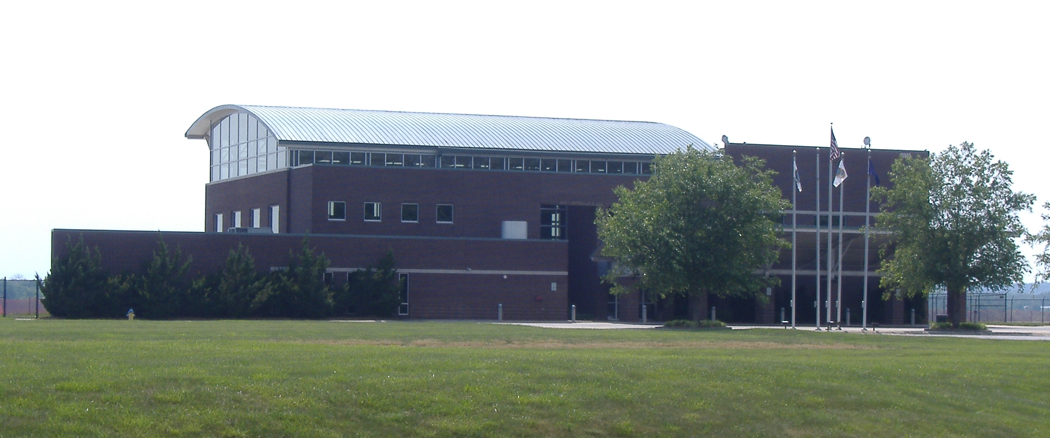
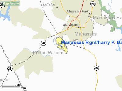
Manassas Regional Airport (IATA: HEF or MNZ, ICAO: KHEF, FAA LID: HEF), also known as Harry P. Davis Field, is a city-owned public-use airport located four nautical miles (7 km) southwest of the central business district of Manassas, in a section of Manassas that was carved out of Prince William County specifically for the purpose of containing the airport. It is mostly located within the city of Manassas, but a small section of the airport grounds are located in unincorporated Prince William County. History
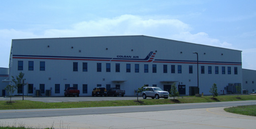 | |
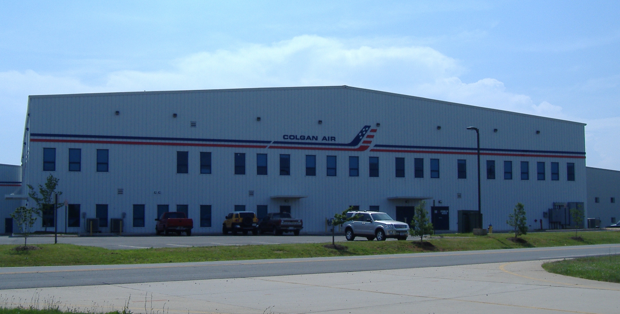
Colgan Air building |
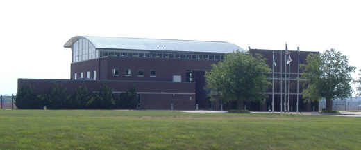
An airport for Manassas was proposed in 1930, when the mayor was Harry P. Davis. It was built in 1931 on 95 acres located along Virginia Route 234, in the area now known as Manaport Shopping Center. Due to airport activity and nearby housing development, the airport was moved to its current location in 1964. The new airport opened with a single 3700' x 100' paved runway. In 1992, the city purchased a control tower from an airport near Denver and reassembled it at Manassas Regional Airport. A new terminal was built in 1996.
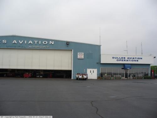
Facilities and aircraft
Manassas Regional Airport covers an area of 888 acres (359 ha) at an elevation of 192 feet (59 m) above mean sea level. It has two asphalt paved runways: 16L/34R measuring 5,700 x 100 feet (1,737 x 30 m) and 16R/34L measuring 3,702 x 100 feet (1,128 x 30 m).
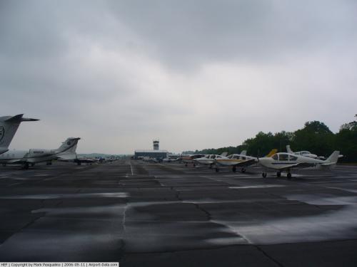
For the 12-month period ending August 14, 2006, the airport had 139,625 aircraft operations, an average of 382 per day: 98% general aviation, 1% air taxi and 1% military. At that time there were 401 aircraft based at this airport: 72% single-engine, 18% multi-engine, 6% jet and 4% helicopter.
The above content comes from Wikipedia and is published under free licenses – click here to read more.
 |
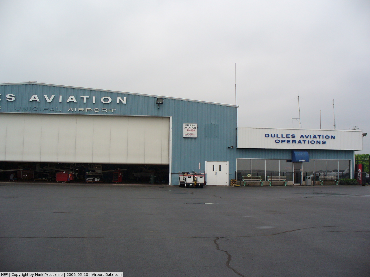
(Click on the photo to enlarge) |
 |
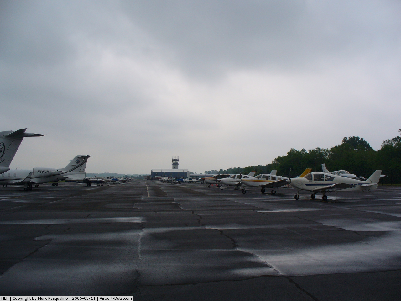
(Click on the photo to enlarge) |
Location & QuickFacts
| FAA Information Effective: | 2008-09-25 |
| Airport Identifier: | HEF |
| Airport Status: | Operational |
| Longitude/Latitude: | 077-30-55.6000W/38-43-17.1000N
-77.515444/38.721417 (Estimated) |
| Elevation: | 192 ft / 58.52 m (Surveyed) |
| Land: | 888 acres |
| From nearest city: | 4 nautical miles SW of Manassas, VA |
| Location: | Prince William County, VA |
| Magnetic Variation: | 10W (2000) |
Owner & Manager
| Ownership: | Publicly owned |
| Owner: | City Of Manassas |
| Address: | Po Box 560
Manassas, VA 20108 |
| Phone number: | 703-361-1882 |
| Manager: | Juan Rivera |
| Address: | Po Box 560
Manassas, VA 20108 |
| Phone number: | 703-361-1882 |
Airport Operations and Facilities
| Airport Use: | Open to public |
| Wind indicator: | Yes |
| Segmented Circle: | Yes |
| Control Tower: | Yes |
| Lighting Schedule: | DUSK-DAWN
WHEN ATCT CLSD ACTVT HIRL RY 16L/34R, MALSR RY 16L, MIRL RY 16R/34L, & REILS RYS 16L, 34R, 16R, & 34L - CTAF. |
| Beacon Color: | Clear-Green (lighted land airport) |
| Landing fee charge: | No |
| Sectional chart: | Washington |
| Region: | AEA - Eastern |
| Boundary ARTCC: | ZDC - Washington |
| Tie-in FSS: | DCA - Leesburg |
| FSS on Airport: | No |
| FSS Toll Free: | 1-800-WX-BRIEF |
| NOTAMs Facility: | HEF (NOTAM-d service avaliable) |
| Federal Agreements: | NGY |
Airport Communications
Airport Services
| Fuel available: | 100LLA |
| Airframe Repair: | MAJOR |
| Power Plant Repair: | MAJOR |
| Bottled Oxygen: | LOW |
| Bulk Oxygen: | HIGH/LOW |
Runway Information
Runway 16L/34R
| Dimension: | 5700 x 100 ft / 1737.4 x 30.5 m |
| Surface: | ASPH, Good Condition |
| Surface Treatment: | Saw-cut or plastic Grooved |
| Weight Limit: | Single wheel: 30000 lbs.
Dual wheel: 60000 lbs. |
| Edge Lights: | High |
| |
Runway 16L |
Runway 34R |
| Longitude: | 077-31-07.5767W | 077-30-32.2939W |
| Latitude: | 38-43-39.7190N | 38-42-50.6205N |
| Elevation: | 192.00 ft | 176.00 ft |
| Alignment: | 127 | 127 |
| ILS Type: | LOC/GS
| |
| Traffic Pattern: | Left | Right |
| Markings: | Precision instrument, Good Condition | Non-precision instrument, Good Condition |
| Crossing Height: | 56.00 ft | 45.00 ft |
| VASI: | 4-light PAPI on left side | 4-light PAPI on left side |
| Visual Glide Angle: | 3.00° | 3.00° |
| Approach lights: | MALSR | |
| Runway End Identifier: | Yes | Yes |
| Obstruction: | 33 ft trees, 1700.0 ft from runway, 300 ft left of centerline, 45:1 slope to clear | 80 ft tree, 2190.0 ft from runway, 350 ft right of centerline, 25:1 slope to clear |
|
Runway 16R/34L
| Dimension: | 3702 x 100 ft / 1128.4 x 30.5 m |
| Surface: | ASPH, Good Condition |
| Weight Limit: | Single wheel: 12500 lbs. |
| Edge Lights: | Medium |
| |
Runway 16R |
Runway 34L |
| Longitude: | 077-31-15.8276W | 077-30-52.8992W |
| Latitude: | 38-43-36.0921N | 38-43-04.2130N |
| Elevation: | 185.00 ft | 175.00 ft |
| Alignment: | 127 | 127 |
| Traffic Pattern: | Right | Left |
| Markings: | Non-precision instrument, Good Condition | Non-precision instrument, Good Condition |
| Crossing Height: | 50.00 ft | 40.00 ft |
| VASI: | 2-light PAPI on left side | 2-light PAPI on left side |
| Visual Glide Angle: | 3.00° | 3.00° |
| Runway End Identifier: | Yes | Yes |
| Obstruction: | 45 ft tree, 1509.0 ft from runway, 450 ft right of centerline, 29:1 slope to clear | 19 ft tree, 738.0 ft from runway, 300 ft left of centerline, 28:1 slope to clear |
|
Radio Navigation Aids
| ID |
Type |
Name |
Ch |
Freq |
Var |
Dist |
| CJR | NDB | Culpeper | | 252.00 | 09W | 19.7 nm |
| GDX | NDB | Goodwin Lake | | 227.00 | 08W | 20.3 nm |
| GTN | NDB | Georgetown | | 323.00 | 09W | 22.2 nm |
| DC | NDB | Oxonn | | 332.00 | 11W | 23.1 nm |
| MSQ | NDB | Nailr | | 351.00 | 10W | 24.4 nm |
| VKX | NDB | Potomac | | 241.00 | 10W | 26.3 nm |
| EZF | NDB | Shannon | | 237.00 | 10W | 27.5 nm |
| GAI | NDB | Gaithersburg | | 385.00 | 09W | 31.5 nm |
| TZ | NDB | Cogan | | 364.00 | 10W | 33.9 nm |
| APH | NDB | A P Hill | | 396.00 | 10W | 39.1 nm |
| BUH | NDB | Anne Arundel | | 260.00 | 10W | 41.5 nm |
| LUA | NDB | Caverns | | 245.00 | 09W | 44.9 nm |
| IQK | NDB | Louisa | | 382.00 | 09W | 45.1 nm |
| FND | NDB | Ellicott | | 371.00 | 11W | 48.4 nm |
| FDK | VOR | Frederick | | 109.00 | 08W | 42.0 nm |
| DCA | VOR/DME | Washington | 047X | 111.00 | 09W | 23.9 nm |
| AML | VORTAC | Armel | 082X | 113.50 | 08W | 13.0 nm |
| CSN | VORTAC | Casanova | 110X | 116.30 | 06W | 17.1 nm |
| BRV | VORTAC | Brooke | 092X | 114.50 | 09W | 24.4 nm |
| ADW | VORTAC | Andrews | 078X | 113.10 | 10W | 30.9 nm |
| LDN | VORTAC | Linden | 090X | 114.30 | 06W | 33.3 nm |
| OTT | VORTAC | Nottingham | 084X | 113.70 | 10W | 36.2 nm |
| MRB | VORTAC | Martinsburg | 058X | 112.10 | 07W | 42.8 nm |
| BAL | VORTAC | Baltimore | 098X | 115.10 | 11W | 48.2 nm |
| DCA | VOT | Washington National | | 109.40 | | 23.8 nm |
| ADW | VOT | Andrews Afb | | 109.60 | | 30.1 nm |
Remarks
- BIRDS & DEER ON & INVOF ARPT.
- HELICOPTER OPNS OVER RESIDENTIAL AREAS BLO 1000 FT SHOULD BE AVIODED; CTC AMGR 703-361-1882 FOR INFO.
- AIRCRAFT CATAGORY C III OR LARGER USE 16L-34R AND EAST RAMP.
Images and information placed above are from
http://www.airport-data.com/airport/HEF/
We thank them for the data!
| General Info
|
| Country |
United States
|
| State |
VIRGINIA
|
| FAA ID |
HEF
|
| Latitude |
38-43-17.100N
|
| Longitude |
077-30-55.600W
|
| Elevation |
192 feet
|
| Near City |
MANASSAS
|
We don't guarantee the information is fresh and accurate. The data may
be wrong or outdated.
For more up-to-date information please refer to other sources.
|
|