 |
|
Location & QuickFacts
| FAA Information Effective: | 2008-09-25 |
| Airport Identifier: | 8VA4 |
| Airport Status: | Operational |
| Longitude/Latitude: | 078-42-12.0530W/37-40-22.5150N
-78.703348/37.672921 (Estimated) |
| Elevation: | 340 ft / 103.63 m (Surveyed) |
| Land: | 8 acres |
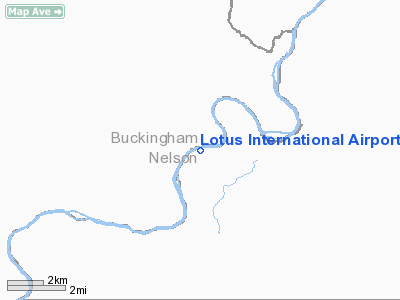
| From nearest city: | 10 nautical miles NW of Buckinham, VA |
| Location: | Buckingham County, VA |
| Magnetic Variation: | 08W (1985) |
Owner & Manager
| Ownership: | Privately owned |
| Owner: | Yogaville
SATCHIDANANDA ASHRAM-YOGAVILLE-VIRGINIA |
| Address: | Rt 1, Box 1720
Buckingham, VA 23921 |
| Phone number: | 804-969-3121 |
| Manager: | Swami Chidananda, Vp |
| Address: | Rt 1, Box 1720
Buckingham, VA 23921 |
| Phone number: | 804-969-3121 |
Airport Operations and Facilities
| Airport Use: | Private |
| Wind indicator: | Yes |
| Segmented Circle: | No |
| Control Tower: | No |
| Lighting Schedule: | PHONE REQ
FOR LIRL RWY 08/26 CALL 804-969-3121 |
| Sectional chart: | Washington |
| Region: | AEA - Eastern |
| Boundary ARTCC: | ZDC - Washington |
| Tie-in FSS: | DCA - Leesburg |
| FSS on Airport: | No |
| FSS Toll Free: | 1-800-WX-BRIEF |
Airport Communications
Runway Information
Runway 09/27
| Dimension: | 2709 x 100 ft / 825.7 x 30.5 m |
| Surface: | TURF, |
| Edge Lights: | Low |
| |
Runway 09 |
Runway 27 |
| Traffic Pattern: | Left | Right |
| Obstruction: | 50 ft trees, 500.0 ft from runway | 200 ft hill, 4000.0 ft from runway |
|
Radio Navigation Aids
| ID |
Type |
Name |
Ch |
Freq |
Var |
Dist |
| AZS | NDB | Azalea Park | | 336.00 | 08W | 22.1 nm |
| FVX | NDB | Farmville | | 367.00 | 07W | 23.0 nm |
| LY | NDB | Bojar | | 385.00 | 08W | 35.7 nm |
| VBW | NDB | Bridgewater | | 241.00 | 07W | 43.4 nm |
| IQK | NDB | Louisa | | 382.00 | 09W | 45.2 nm |
| BKT | NDB | Blackstone | | 326.00 | 09W | 45.4 nm |
| MOL | VOR/DME | Montebello | 100X | 115.30 | 05W | 23.6 nm |
| GVE | VORTAC | Gordonsville | 103X | 115.60 | 06W | 33.2 nm |
| LYH | VORTAC | Lynchburg | 029X | 109.20 | 05W | 35.8 nm |
| FAK | VORTAC | Flat Rock | 080X | 113.30 | 06W | 42.6 nm |
Remarks
Images and information placed above are from
http://www.airport-data.com/airport/8VA4/
We thank them for the data!
| General Info
|
| Country |
United States
|
| State |
VIRGINIA
|
| FAA ID |
8VA4
|
| Latitude |
37-40-22.515N
|
| Longitude |
078-42-12.053W
|
| Elevation |
340 feet
|
| Near City |
BUCKINHAM
|
We don't guarantee the information is fresh and accurate. The data may
be wrong or outdated.
For more up-to-date information please refer to other sources.
|
|


