|
|
Hanover County Muni Airport |
| Hanover County Municipal Airport |
| IATA: none – ICAO: KOFP – FAA LID: OFP |
| Summary |
| Airport type |
Public |
| Owner |
Hanover County |
| Serves |
Richmond / Ashland, Virginia |
| Location |
Ashland, Virginia |
| Elevation AMSL |
207 ft / 63 m |
| Coordinates |
37°42′32″N 077°26′11″W / 37.70889°N 77.43639°W / 37.70889; -77.43639Coordinates: 37°42′32″N 077°26′11″W / 37.70889°N 77.43639°W / 37.70889; -77.43639 |
| Website |
www.co.hanover.va.us/... |
| Runways |
| Direction |
Length |
Surface |
| ft |
m |
| 16/34 |
5,402 |
1,647 |
Asphalt |
| Statistics (2007) |
| Aircraft operations |
31,655 |
| Based aircraft |
117 |
| Source: Federal Aviation Administration |
Hanover County Municipal Airport (ICAO: KOFP, FAA LID: OFP) is a public airport located 14 miles (22 km) north of the central business district of Richmond, Virginia, United States. It is owned by Hanover County in the US state of Virginia. This airport use the three-letter location identifier code "OFP" which is assigned by the FAA, however there is no three-letter location identifier code from IATA. The four-letter location identifier code "KOFP" is assigned by ICAO. The hours of operations are 0700 to 2100 (7 am to 9pm) for the months of April to September, and are 0700 to 1900 (7 am to 7pm) from the months of October to March. All times are for the US Eastern Time Zone.
Facilities and aircraft
Hanover County Municipal Airport has an area of approximately 200 acres (81 ha) which contains one asphalt paved runway (16/34) measuring 5,402 x 100 ft (1,647 x 30 m).
For the 12-month period ending May 31, 2007, the airport had 31,655 aircraft operations, an average of 87 per day. There are 117 aircraft based at this airport, 102 single engine, 13 multi-engine, 1 jet aircraft and 1 helicopter.
There is a full service Fixed Base Operator (FBO) called Heart of Virginia Aviation. The county is building a new hangar, renovating the Terminal and is updating fencing. There is an industrial park and a commerce center next to the airport.
The above content comes from Wikipedia and is published under free licenses – click here to read more.
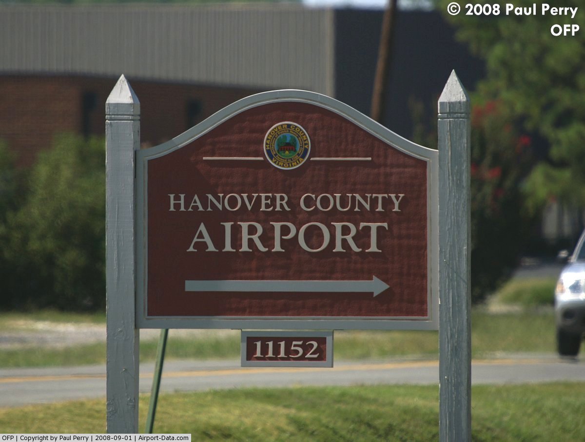
 |
(Click on the photo to enlarge) |
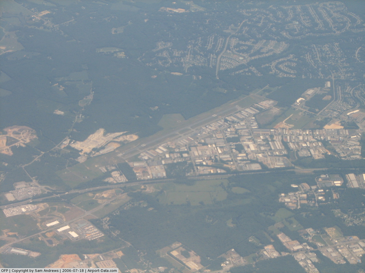
 |
(Click on the photo to enlarge) |
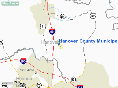
Location & QuickFacts
| FAA Information Effective: | 2008-09-25 |
| Airport Identifier: | OFP |
| Airport Status: | Operational |
| Longitude/Latitude: | 077-26-11.9000W/37-42-32.2000N
-77.436639/37.708944 (Estimated) |
| Elevation: | 207 ft / 63.09 m (Surveyed) |
| Land: | 168 acres |
| From nearest city: | 8 nautical miles N of Richmond/ashland, VA |
| Location: | Hanover County, VA |
| Magnetic Variation: | 09W (1985) |
Owner & Manager
| Ownership: | Publicly owned |
| Owner: | County Of Hanover |
| Address: | Director Of Public Works, Po Box 470
Hanover, VA 23069 |
| Phone number: | 804-537-6182 |
| Manager: | Richard Henry (hank) Rempe |
| Address: | Department Of Public Works, Po Box 470
Hanover, VA 23069 |
| Phone number: | 804-365-6208 |
Airport Operations and Facilities
| Airport Use: | Open to public |
| Wind indicator: | Yes |
| Segmented Circle: | Yes |
| Control Tower: | No |
| Lighting Schedule: | DUSK-DAWN
ACTVT MIRL RY 16/34; REIL RYS 16 & 34 - CTAF. |
| Beacon Color: | Clear-Green (lighted land airport) |
| Landing fee charge: | No |
| Sectional chart: | Washington |
| Region: | AEA - Eastern |
| Traffic Pattern Alt: | 800 ft |
| Boundary ARTCC: | ZDC - Washington |
| Tie-in FSS: | DCA - Leesburg |
| FSS on Airport: | No |
| FSS Toll Free: | 1-800-WX-BRIEF |
| NOTAMs Facility: | OFP (NOTAM-d service avaliable) |
| Federal Agreements: | NGY |
Airport Communications
| CTAF: | 122.700 |
| Unicom: | 122.700 |
Airport Services
| Fuel available: | 100LLA |
| Airframe Repair: | MAJOR |
| Power Plant Repair: | MAJOR |
| Bottled Oxygen: | HIGH/LOW |
| Bulk Oxygen: | HIGH/LOW |
Runway Information
Runway 16/34
| Dimension: | 5402 x 100 ft / 1646.5 x 30.5 m |
| Surface: | ASPH, Good Condition |
| Surface Treatment: | Porous Friction Course |
| Weight Limit: | Single wheel: 40000 lbs. |
| Edge Lights: | Medium |
| |
Runway 16 |
Runway 34 |
| Longitude: | 077-26-28.8552W | 077-25-54.9411W |
| Latitude: | 37-42-55.2292N | 37-42-09.1243N |
| Elevation: | 206.00 ft | 201.00 ft |
| Alignment: | 127 | 127 |
| ILS Type: | LOC/DME
| |
| Traffic Pattern: | Left | Left |
| Markings: | Non-precision instrument, Fair Condition | Basic, Fair Condition |
| VASI: | 4-light PAPI on left side | |
| Runway End Identifier: | Yes | Yes |
| Obstruction: | 76 ft tree, 1500.0 ft from runway, 445 ft left of centerline, 17:1 slope to clear | 73 ft trees, 1381.0 ft from runway, 336 ft left of centerline, 16:1 slope to clear |
|
Radio Navigation Aids
| ID |
Type |
Name |
Ch |
Freq |
Var |
Dist |
| LJK | NDB | Ashey | | 280.00 | 09W | 4.4 nm |
| CF | NDB | Pubbs | | 392.00 | 09W | 22.6 nm |
| APH | NDB | A P Hill | | 396.00 | 10W | 23.4 nm |
| IQK | NDB | Louisa | | 382.00 | 09W | 27.4 nm |
| EZF | NDB | Shannon | | 237.00 | 10W | 33.5 nm |
| PTB | NDB | Petersburg | | 284.00 | 08W | 35.4 nm |
| BKT | NDB | Blackstone | | 326.00 | 09W | 45.4 nm |
| AKQ | NDB | Wakefield | | 274.00 | 09W | 48.3 nm |
| MSQ | NDB | Nailr | | 351.00 | 10W | 50.0 nm |
| RIC | VORTAC | Richmond | 088X | 114.10 | 09W | 13.6 nm |
| FAK | VORTAC | Flat Rock | 080X | 113.30 | 06W | 21.6 nm |
| HPW | VORTAC | Hopewell | 057X | 112.00 | 06W | 27.5 nm |
| BRV | VORTAC | Brooke | 092X | 114.50 | 09W | 37.9 nm |
| HCM | VORTAC | Harcum | 025X | 108.80 | 07W | 37.9 nm |
| GVE | VORTAC | Gordonsville | 103X | 115.60 | 06W | 38.6 nm |
Remarks
- NOISE SENSITIVE AREA SOUTH OF ARPT.
- FOR ARPT SERVICES CALL 804-798-6500.
- DEER & BIRDS ON & INVOF ARPT.
Images and information placed above are from
http://www.airport-data.com/airport/OFP/
We thank them for the data!
| General Info
|
| Country |
United States
|
| State |
VIRGINIA
|
| FAA ID |
OFP
|
| Latitude |
37-42-32.240N
|
| Longitude |
077-26-11.950W
|
| Elevation |
208 feet
|
| Near City |
RICHMOND/ASHLAND
|
We don't guarantee the information is fresh and accurate. The data may
be wrong or outdated.
For more up-to-date information please refer to other sources.
|
|