|
|
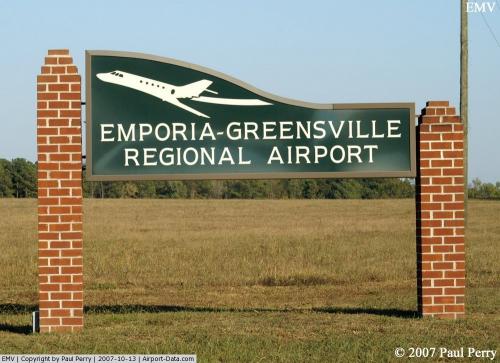
Emporia-greensville Rgnl Airport |
 |
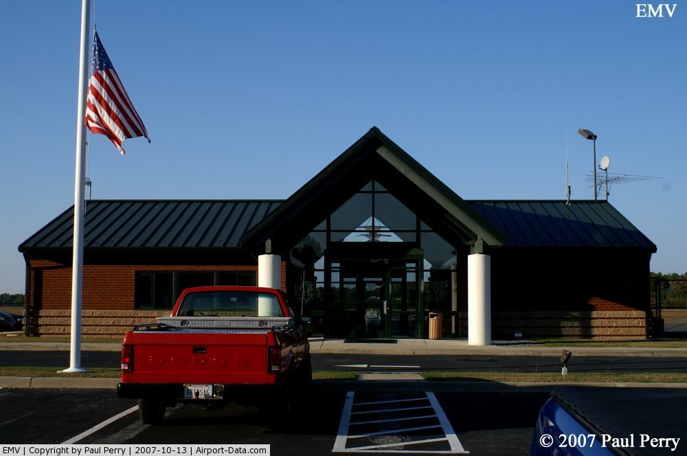
(Click on the photo to enlarge) |
 |
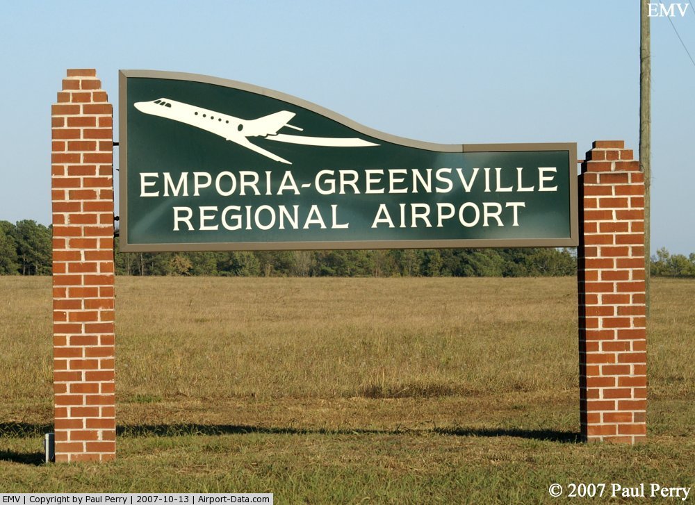
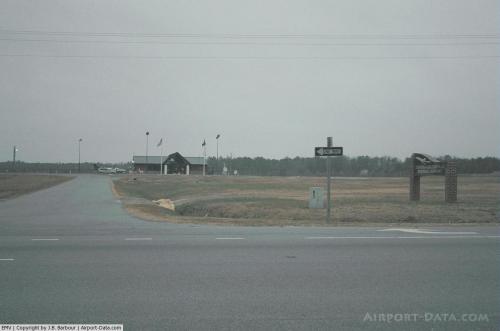
(Click on the photo to enlarge) |
 |
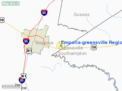
(Click on the photo to enlarge) |
 |
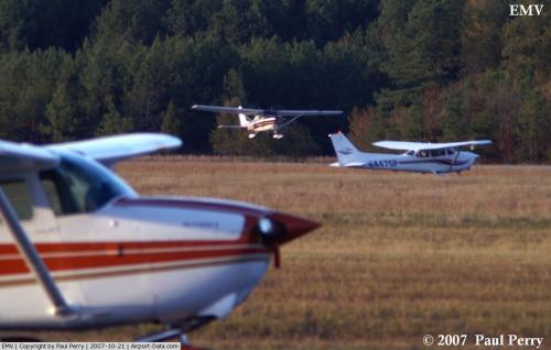
(Click on the photo to enlarge) |
Location & QuickFacts
| FAA Information Effective: | 2008-09-25 |
| Airport Identifier: | EMV |
| Airport Status: | Operational |
| Longitude/Latitude: | 077-28-58.1000W/36-41-12.9000N
-77.482806/36.686917 (Estimated) |
| Elevation: | 127 ft / 38.71 m (Surveyed) |
| Land: | 398 acres |
| From nearest city: | 3 nautical miles E of Emporia, VA |
| Location: | Greensville County, VA |
| Magnetic Variation: | 10W (2000) |
Owner & Manager
| Ownership: | Publicly owned |
| Owner: | Emporia-greensville Arpt Comm |
| Address: | 425-h South Main St
Emporia, VA 23847 |
| Phone number: | 434-634-9400 |
| Manager: | William Finch |
| Address: | 139 Airport Dr.
Emporia, VA 23847 |
| Phone number: | 434-634-3696 |
Airport Operations and Facilities
| Airport Use: | Open to public |
| Wind indicator: | Yes |
| Segmented Circle: | Yes |
| Control Tower: | No |
| Lighting Schedule: | DUSK-DAWN
ACTVT MIRL RY 15/33; PAPI RYS 15 & 33; & REIL RYS 15 & 33 - CTAF. |
| Beacon Color: | Clear-Green (lighted land airport) |
| Landing fee charge: | No |
| Sectional chart: | Washington |
| Region: | AEA - Eastern |
| Boundary ARTCC: | ZDC - Washington |
| Tie-in FSS: | DCA - Leesburg |
| FSS on Airport: | No |
| FSS Toll Free: | 1-800-WX-BRIEF |
| NOTAMs Facility: | EMV (NOTAM-d service avaliable) |
| Federal Agreements: | NGY3 |
Airport Communications
| CTAF: | 123.000 |
| Unicom: | 123.000 |
Airport Services
| Fuel available: | 100LLA |
| Bottled Oxygen: | NONE |
| Bulk Oxygen: | NONE |
Runway Information
Runway 15/33
| Dimension: | 5044 x 100 ft / 1537.4 x 30.5 m |
| Surface: | ASPH, Fair Condition |
| Weight Limit: | Single wheel: 30000 lbs.
Dual wheel: 50000 lbs.
Dual tandem wheel: 85000 lbs. |
| Edge Lights: | Medium |
| |
Runway 15 |
Runway 33 |
| Longitude: | 077-29-15.6360W | 077-28-41.5450W |
| Latitude: | 36-41-33.3860N | 36-40-51.7950N |
| Elevation: | 127.00 ft | 112.00 ft |
| Alignment: | 127 | 127 |
| ILS Type: | | LOCALIZER
|
| Traffic Pattern: | Left | Left |
| Markings: | Non-precision instrument, Poor Condition
RY 15 MKGS BADLY FADED. | Non-precision instrument, Fair Condition |
| Crossing Height: | 30.00 ft | 30.00 ft |
| VASI: | 2-light PAPI on left side | 2-light PAPI on left side |
| Visual Glide Angle: | 3.00° | 3.00° |
| Runway End Identifier: | Yes | Yes |
| Obstruction: | 15 ft road, 336.0 ft from runway, 263 ft right of centerline, 9:1 slope to clear | 5 ft road, 265.0 ft from runway, 250 ft left of centerline, 13:1 slope to clear |
|
Radio Navigation Aids
| ID |
Type |
Name |
Ch |
Freq |
Var |
Dist |
| ELQ | NDB | Emporia | | 261.00 | 10W | 5.0 nm |
| RZZ | NDB | Rapids | | 407.00 | 08W | 18.4 nm |
| PTB | NDB | Petersburg | | 284.00 | 08W | 27.0 nm |
| ASJ | NDB | Ahoskie | | 415.00 | 10W | 27.6 nm |
| MBV | NDB | Mecklenburg/dcmsnd | | 356.00 | 08W | 27.6 nm |
| AEA | NDB | Jones | | 373.00 | 09W | 27.8 nm |
| AKQ | NDB | Wakefield | | 274.00 | 09W | 29.2 nm |
| BKT | NDB | Blackstone | | 326.00 | 09W | 37.8 nm |
| CF | NDB | Pubbs | | 392.00 | 09W | 38.9 nm |
| RK | NDB | Waley | | 249.00 | 10W | 40.6 nm |
| ETC | NDB | Tarboro | | 257.00 | 08W | 45.3 nm |
| FAF | NDB | Felker | | 226.00 | 08W | 49.6 nm |
| LVL | VORTAC | Lawrenceville | 076X | 112.90 | 08W | 21.7 nm |
| FKN | VORTAC | Franklin | 043X | 110.60 | 09W | 22.7 nm |
| CVI | VORTAC | Cofield | 093X | 114.60 | 09W | 35.0 nm |
| HPW | VORTAC | Hopewell | 057X | 112.00 | 06W | 42.4 nm |
| TYI | VORTAC | Tar River | 125X | 117.80 | 05W | 44.0 nm |
| RIC | VORTAC | Richmond | 088X | 114.10 | 09W | 49.6 nm |
Remarks
- DEER ON & INVOF ARPT.
- PRIOR TO 1959
Images and information placed above are from
http://www.airport-data.com/airport/EMV/
We thank them for the data!
| General Info
|
| Country |
United States
|
| State |
VIRGINIA
|
| FAA ID |
EMV
|
| Latitude |
36-41-12.900N
|
| Longitude |
077-28-58.100W
|
| Elevation |
127 feet
|
| Near City |
EMPORIA
|
We don't guarantee the information is fresh and accurate. The data may
be wrong or outdated.
For more up-to-date information please refer to other sources.
|
|