|
 |
|
||||
|
Coordinates: 38°04′37″N 078°56′39″W / 38.07694°N 78.94417°W
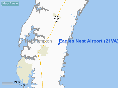
Eagle's Nest Airport (FAA LID: W13) is a public-use airport located three miles (5 km) west of the central business district of Waynesboro, in Augusta County, Virginia, United States. It is privately-owned by Michael L. Fogle. Facilities and aircraftEagle's Nest Airport covers an area of 40 acres (16 ha) which contains one asphalt paved runway (6/24) measuring 2,009 x 50 ft (612 x 15 m). For the 12-month period ending March 31, 2007, the airport had 12,383 aircraft operations, an average of 33 per day: 92% general aviation and 8% air taxi. There are 68 aircraft based at this airport: 88% single-engine, 4% multi-engine and 7% glider. Flight SchoolEagle's Nest operates a small flight school which currently offers flight instruction towards the private, instrument, and commercial ratings. The primary flight instructor is David Van Clief, who has logged over 14,000 hours of flight time, most of that as CFI/CFII/MEI. The Eagle's Nest instrument instructor is Marianne Blair. Two Cessna 172M aircraft are available for rent: N19868 and N1766V. N1766V is a former police airplane, and N19868 was acquired in 2007 from a private owner. The rental rate as of June 2, 2010 is $97.00/hour, or $87.00/hr if prepaid in a 10-hour block. The flight school and FBO are also home to a mascot of sorts, a dog named Lexie. Aerial tours of the Charlottesvile/Waynesboro/Shennandoah Valley area are available for $65.00 for a 1/2 hour in the FBO's C-182RG, often piloted by John Trissel. The above content comes from Wikipedia and is published under free licenses – click here to read more.
Location & QuickFacts
Owner & Manager
Airport Operations and Facilities
Runway InformationRunway 01/19
Radio Navigation Aids
Images and information placed above are from We thank them for the data!
We don't guarantee the information is fresh and accurate. The data may
be wrong or outdated.
|
||||||||||||||||||||||||||||||||||||||||||||||||||||||||||||||||||||||||||||||||||||||||||||||||||||||||||||||||||||||||||||||||||||||||||||||||||||||||||||||||||||||||||||||||||||||||||||||||||||||||||||||||||||||||||||||||||||||||||||||||||||||||||||||||||

 |
|
Copyright 2004-2026 © by Airports-Worldwide.com, Vyshenskoho st. 36, Lviv 79010, Ukraine Legal Disclaimer |