 |
|
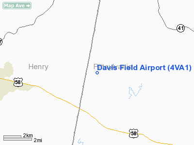
Location & QuickFacts
| FAA Information Effective: | 2008-09-25 |
| Airport Identifier: | 4VA1 |
| Airport Status: | Operational |
| Longitude/Latitude: | 079-39-58.1150W/36-41-12.4940N
-79.666143/36.686804 (Estimated) |
| Elevation: | 840 ft / 256.03 m (Estimated) |
| Land: | 8 acres |
| From nearest city: | 15 nautical miles E of Martinsville, VA |
| Location: | Pittsylvania County, VA |
| Magnetic Variation: | 06W (1985) |
Owner & Manager
| Ownership: | Privately owned |
| Owner: | Oren H. Davis |
| Address: | Rte 2, Box 514
Axton, VA 24054 |
| Phone number: | 703-650-2701 |
| Manager: | Oren H. Davis |
| Address: | Rte 2, Box 514
Axton, VA 24054 |
| Phone number: | 703-650-2701 |
Airport Operations and Facilities
| Airport Use: | Private |
| Wind indicator: | Yes |
| Segmented Circle: | No |
| Control Tower: | No |
| Sectional chart: | Cincinnati |
| Region: | AEA - Eastern |
| Boundary ARTCC: | ZDC - Washington |
| Tie-in FSS: | DCA - Leesburg |
| FSS on Airport: | No |
| FSS Toll Free: | 1-800-WX-BRIEF |
Runway Information
Runway 18/36
| Dimension: | 2400 x 100 ft / 731.5 x 30.5 m |
| Surface: | TURF, |
| |
Runway 18 |
Runway 36 |
| Traffic Pattern: | Left | Left |
| Obstruction: | | 35 ft plines, 50.0 ft from runway |
|
Radio Navigation Aids
| ID |
Type |
Name |
Ch |
Freq |
Var |
Dist |
| OQA | FAN MARKER | Rockingham County | | | | 17.5 nm |
| UV | NDB | Bales | | 396.00 | 07W | 13.4 nm |
| SIF | NDB | Slammer | | 423.00 | 07W | 18.9 nm |
| VIT | NDB | Vinton | | 277.00 | 06W | 32.8 nm |
| HUR | NDB | Person | | 220.00 | 08W | 39.8 nm |
| LY | NDB | Bojar | | 385.00 | 08W | 40.1 nm |
| CNQ | NDB | Callahan | | 379.00 | 05W | 41.8 nm |
| HB | NDB | Himun | | 361.00 | 08W | 42.8 nm |
| AZW | NDB | Mount Airy | | 223.00 | 07W | 46.0 nm |
| TEC | NDB | Tech | | 368.00 | 06W | 47.3 nm |
| DAN | VOR | Danville | | 113.10 | 06W | 17.4 nm |
| ODR | VOR | Woodrum | | 114.90 | 06W | 41.1 nm |
| SBV | VORTAC | South Boston | 041X | 110.40 | 05W | 31.4 nm |
| LYH | VORTAC | Lynchburg | 029X | 109.20 | 05W | 39.9 nm |
| GSO | VORTAC | Greensboro | 109X | 116.20 | 03W | 41.4 nm |
| ROA | VORTAC | Roanoke | 031X | 109.40 | 04W | 44.0 nm |
Remarks
- PRVDD THAT RY LOCATION AT BANK OF DIRT BE EXPANDED 100 FT, PRIMARY SFC OF RY BE 250 FT WIDE & CLEAR OF OBSTNS; THR OF RY 18 BE DSPLCD 400 FT TO INSURE 20:1 CLEARANCE; BE AWARE OF MILITARY TRNG IN AREA.
Images and information placed above are from
http://www.airport-data.com/airport/4VA1/
We thank them for the data!
| General Info
|
| Country |
United States
|
| State |
VIRGINIA
|
| FAA ID |
4VA1
|
| Latitude |
36-41-12.494N
|
| Longitude |
079-39-58.115W
|
| Elevation |
840 feet
|
| Near City |
MARTINSVILLE
|
We don't guarantee the information is fresh and accurate. The data may
be wrong or outdated.
For more up-to-date information please refer to other sources.
|
|


